earth online
  • Explore Missions
    • Earth Explorers
    • Heritage Missions
    • Third Party Missions
  • Explore Data
    • All Data
    • Open Data
    • Announcement of Opportunity
    • Project Proposal
    • Sample Data
    • Dashboard
  • Explore Tools
    • Analysis Tools
    • Processing Tools
    • Visualisation Tools
    • Catalogues
    • Apps
  • Explore News & Events
    • All News
    • Data Release News
    • Maintenance News
    • Operational News
    • All Events
    • Events Updates
    • Workshop
    • Conference
  • Explore Learn & Discover
    • Data Application Articles
    • Spotlight on EO Community
    • Gallery
    • FAQ
    • Success Stories
    • Infographics
    • Quality Reports Advanced Search
  • SEE ALL
  • ERS
  • ERS
  • Mission
    • ERS Overview
    • ERS Objectives
    • Radar Courses
      • Explore Radar Courses
      • Radar Course 1
      • Radar Course 2
      • Radar Course 3
  • Instruments
    • ATSR
      • Explore ATSR
      • ATSR Overview
      • ATSR Cal/Val
      • ATSR Quality Control Reports
      • ATSR Auxiliary Data
      • ATSR Processor Releases
      • ATSR Products Information
    • GOME
      • Explore GOME
      • GOME Overview
      • GOME Cal/Val
      • GOME Quality Control Reports
      • GOME Processor Releases
      • GOME Products Information
    • LRR (ERS)
      • Explore LRR (ERS)
      • LRR (ERS) Overview
    • MWR (ERS)
      • Explore MWR (ERS)
      • MWR (ERS) Overview
      • MWR (ERS) Cal/Val
      • MWR (ERS) Quality Control Reports
      • MWR (ERS) Products Information
    • PRARE
      • Explore PRARE
      • PRARE Overview
    • RA (ERS)
      • Explore RA (ERS)
      • RA (ERS) Overview
      • RA (ERS) Cal/Val
      • RA (ERS) Quality Control Reports
      • RA (ERS) Products Information
    • SAR (ERS)
      • Explore SAR (ERS)
      • SAR (ERS) Overview
      • SAR (ERS) Cal/Val
      • SAR (ERS) Quality Control Reports
      • SAR (ERS) Auxiliary Data
      • SAR (ERS) Processor Releases
      • SAR (ERS) Interferometry
      • SAR (ERS) Products Information
    • WS
      • Explore WS
      • WS Overview
      • WS Cal/Val
      • WS Quality Control Reports
      • WS Processor Releases
      • WS Products Information
  • Data
More

    ERS INSTRUMENTS

    Explore instruments used in ERS mission.

    EXPLORE INSTRUMENTS

    ERS DATA

    ERS data is freely and openly available to everyone.

    ACCESS MISSION DATA

    ERS TOOLS

    A number of tools are available for visualising, processing and analysing ERS data.

    EXPLORE TOOLS

    The ERS programme was composed of two missions, ERS-1 and ERS-2, which together observed the Earth for 20 years, from 1991 to 2011.

    Featured

    New Land Ice Portal features three decades of ESA satellite data

    New Land Ice Portal features three decades of ESA satellite data

    ERS-2, Envisat and CryoSat underpin a new land ice portal that monitors mass and surface elevation change of the polar ice sheets from 1995 to the present day.

    FDR4ATMOS releases Atmospheric Composition Fundamental Data Record v1.1 from ERS-2 GOME & Envisat SCIAMACHY data

    FDR4ATMOS releases Atmospheric Composition Fundamental Data Record v1.1 from ERS-2 GOME & Envisat SCIAMACHY data

    A new version (v1.1) of the FDR4ATMOS Atmospheric Composition Fundamental Data Record (FDR) dataset has been released, superseding the previous version (v1.0) publicly released in 2024.

    HEDAVI Tutorial: How to process optical images in Explorer mode

    HEDAVI Tutorial: How to process optical images in Explorer mode

    This tutorial guides you through how to process optical images available in the HEritage DAta VIsualisation (HEDAVI) tool. The tutorial describes how to use features suited to beginners and those benefiting more experienced users.

    2025 highlights: Key Earth observation stories

    2025 highlights: Key Earth observation stories

    2025 has been another remarkable year for ESA’s Earth observation activities — marked by exciting new missions, significant milestones and groundbreaking scientific discoveries. At the Living Planet Symposium in June, more than 6,500 participants from nearly 120 countries gathered to share over 4,200 scientific presentations and research findings.

    New ERS and Envisat (A)SAR Thematic Data Collections Unlock Decades of Earth Observation Data

    New ERS and Envisat (A)SAR Thematic Data Collections Unlock Decades of Earth Observation Data

    The European Space Agency (ESA) is pleased to announce the release of a set of Thematic Earth Observation Data Collections from the ERS-1/2 SAR and Envisat ASAR missions.

    About ERS

    ERS

    The ERS programme was composed of two missions, ERS-1 and ERS-2, which were launched into the same orbit in 1991 and 1995 respectively. The two spacecraft were designed as identical twins with one important difference – ERS-2 included an extra instrument (GOME) designed to monitor ozone levels in the atmosphere.

    Due to the satellites' shared orbit, a tandem mission was implemented following the launch of ERS-2, whereby ERS-2 passed the same point on the ground one day later than ERS-1.

    The 'ERS tandem mission' doubled the number of measurement points for the radar altimeter and, more importantly laid the basis for an accurate, three-dimensional digital map of Earth's land surfaces, which for some of Earth's regions would have been impossible.

    Following nine years of excellent service, over three times its planned lifetime, the ERS-1 mission ended on 10 March 2000 due to a failure in the on board attitude control system.

    Since its launch on 17 July 1991 ERS-1 made 45,000 orbits, acquiring more than 1.5 million individual Synthetic Aperture Radar (SAR) scenes.

    ESA's venerable ERS-2 satellite followed its predecessor's example, greatly exceeding its three year life span with 16 years of successful operations. The satellite was safely taken out of service on 5 September 2011, due to low levels of remaining fuel. From when it was launched on 21 April 1995, ERS-2 made 85,000 orbits, travelling 3.5 billion km.

    ERS Objectives

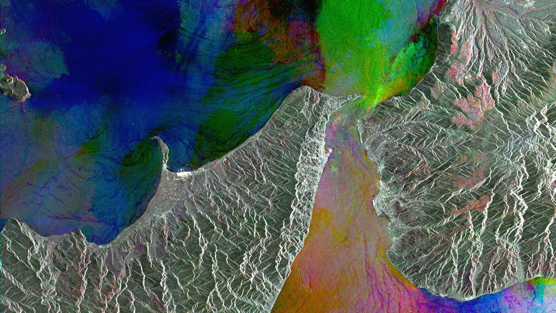
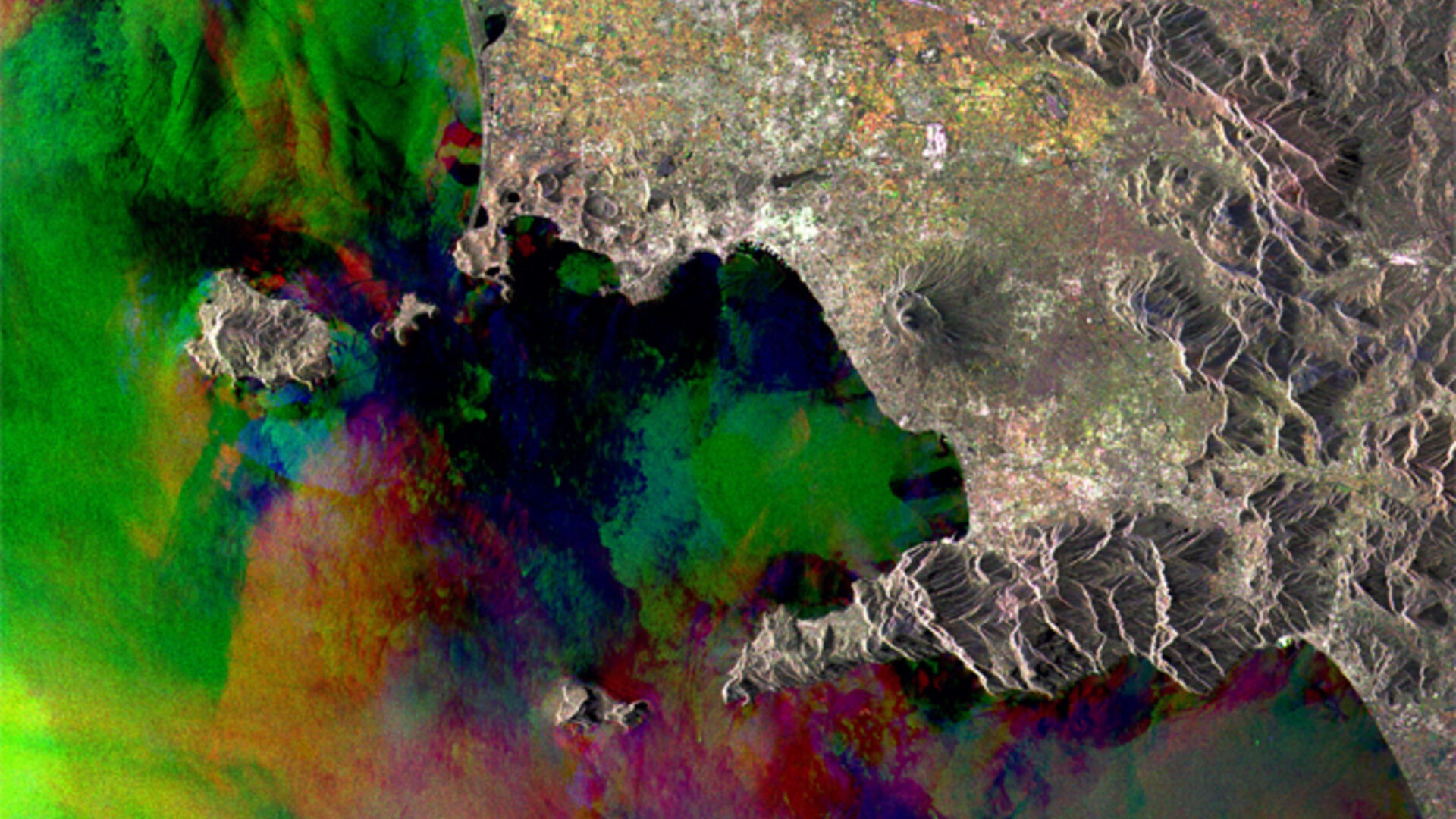
    ERS was the first ESA programme in Earth observation to provide microwave spectrum-based environmental monitoring. The missions’ range of instruments were capable of monitoring the land, oceans, and atmosphere, and more specifically sea ice, geology, forestry, wave phenomena bathymetry, meteorological events and many more scientific fields.

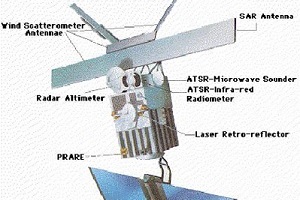
    ERS Instruments
    ATSR
    The Along-Track Scanning Radiometer (ATSR) measured sea-surface temperatures and cloud-top temperatures.


    find out more
    GOME
    The Global Ozone Monitoring Experiment (GOME) was a nadir-scanning ultraviolet and visible spectrometer for global monitoring of atmospheric ozone.

    find out more
    MWR
    The Microwave Radiometer (MWR) measured the integrated atmospheric water vapour column and cloud liquid water content, as correction terms for the radar altimeter signal. find out more
    RA
    The Radar Altimeter (RA) was a Ku-band (13.8 GHz) nadir-pointing active microwave sensor designed to measure the time return echoes from ocean and ice surfaces.

    find out more
    SAR
    The Synthetic Aperture Radar (SAR) wave mode provided two-dimensional spectra of ocean surface waves.


    find out more
    WS
    The Wind Scatterometer (WS) obtained information on wind speed and direction at the sea surface for incorporation into models, global statistics and climatological datasets.
    find out more
    LRR ERS-1
    The Laser Retro Reflector (LRR) was a passive device used as a reflector by ground-based SLR stations using high-power pulsed lasers.
    find out more
    PRARE ERS-1
    The Precise Range And Range-Rate Equipment (PRARE) was a compact, space-borne, two-way, two-frequency microwave satellite tracking system.
    find out more
    Tweet
    Share

    People also search for

    DataNewsMissionsEventsTools and toolboxesActivitiesCampaignsLearn & Discover
    European Space Agency
    Terms and conditionsCookie NoticePrivacy NoticeContact UsFAQComplaintsLeave feedback