- All Categories (4387)
- Data (61)
- News (140)
- Missions (8)
- Events (54)
- Tools (15)
- Activities (12)
- Campaigns (9)
- Documents (4088)
Event - Workshop
10 Years of GOME on ERS-2 Workshop
The workshop summarised 10 years of operation of the Global Ozone Monitoring Experiment (GOME) on board ERS-2.
Event - Workshop
11th Swarm Data Quality Workshop
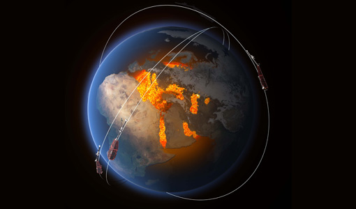
The 11th Swarm Data Quality Workshop was a hybrid event, which was instrumental in addressing the processing and use of Swarm data and defining a road map for future activities.
Event - Workshop
12th Swarm Data Quality Workshop
The 12th Swarm Data Quality Workshop brought together scientists and instrument experts to collect innovative ideas for future Swarm-based activities and products.
Event - Workshop
13th Swarm Data Quality Workshop
The 13th Swarm Data Quality Workshop brought together scientists and instrument experts to collect innovative ideas for future Swarm-based activities and products.
Event - Conference
15 Years of Progress in Radar Altimetry Symposium
A Symposium on "15 Years of Progress in Radar Altimetry" and the annual meeting of the Ocean Surface Topography Science Team, the International Doris Service Workshop and the ARGO Workshop.
Event - Conference
16th European Space Weather Week
The 16th ESWW brought together the diverse groups in Europe working on different aspects of Space Weather.
Document - Conference Presentation - Poster
1_Polarimetric_Soil_Moisture_Retrieval_Vegetated_Soils_in_TERENO.pdf
Polarimetric Decompositions for Soil Moisture Retrieval from Vegetated Soils in TERENO Observatories T. Jagdhuber [German Aerospace Center - DLR]
Event - Workshop
1st International GOCE User Workshop
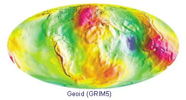
The workshop provided a forum for presentations and discussions on the development, use and exploitation of GOCE Level 2 (global and regional) geoid products and Level 3 (science and application) data products.
Event - Workshop
2007 International Geohazards Week
The ESA event was part of the United Nations International Year of Planet Earth, to increase awareness of the importance of Earth sciences for the advancement of sustainable development.
Event - Conference
27th IUGG General Assembly
The 27th IUGG General Assembly offered the opportunity for participants from Canada and from around the world to come together and share their science and culture.
Document - Conference Presentation - Poster
2_Charbonneau_compact_pol.pdf
RCM Compact Polarimetry Applied to Watershed Study F. J. Charbonneau [Natural Resources Canada]
Event - Workshop
2nd CHRIS PROBA Workshop
This 2004 workshop was on the treatment of Compact High Resolution Images Spectrometer (CHRIS) data.
Event - Workshop
2nd International GOCE User Workshop
This workshop provided a forum for presenting progress on the development of the GOCE mission's payload, ground segment and data products.
Event - Workshop
2nd MERIS/AATSR User Workshop
The workshop addressed the utilisation of MERIS and AATSR data for remote sensing of open oceans, coastal waters, land surfaces and atmospheric processes.
Event - Workshop
2nd Space for Hydrology Workshop
The workshop aimed to assess the current stage of knowledge and activities in space-based hydrological observations and to exchange knowledge and know how with hydrologists and researchers.
Document - Proceedings
2nd-International-GOCE-User-Workshop.pdf
This document describes the proceedings of the 2nd International GOCE User workshop held at the ESA-ESRIN Site, Frascati, Italy, 8-10 March 2004.
Activity - Projects
3D mantle conductivity
The 3D mantle conductivity project is part of the Swarm DISC (Data, Innovation and Science Cluster).
Event - Training
3rd Advanced Training Course on Land Remote Sensing 2011
This 2011 advanced ESA training course focused on land remote sensing theory and applications.
Event - Training
3rd Advanced Training Course on Ocean Remote Sensing 2013
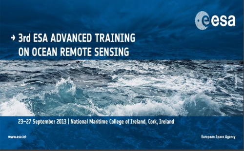
The 3rd Advanced Training Course on Ocean Remote Sensing was held from 23 to 27 September 2013 in Cork, at the National Maritime College of Ireland.
Event - Workshop
3rd CHRIS PROBA Workshop
This 2005 workshop was on the treatment of Compact High Resolution Images Spectrometer (CHRIS) data.


