Featured
About GEOSAT-2
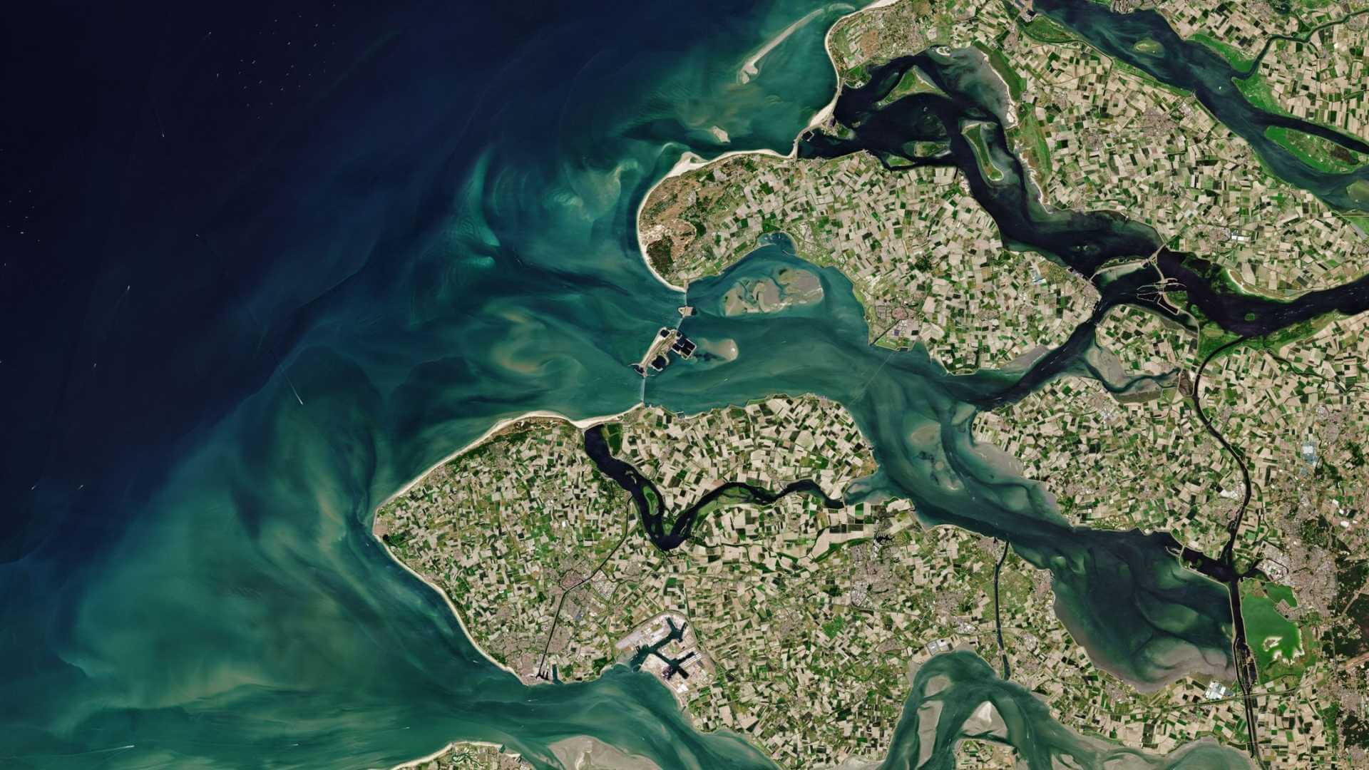
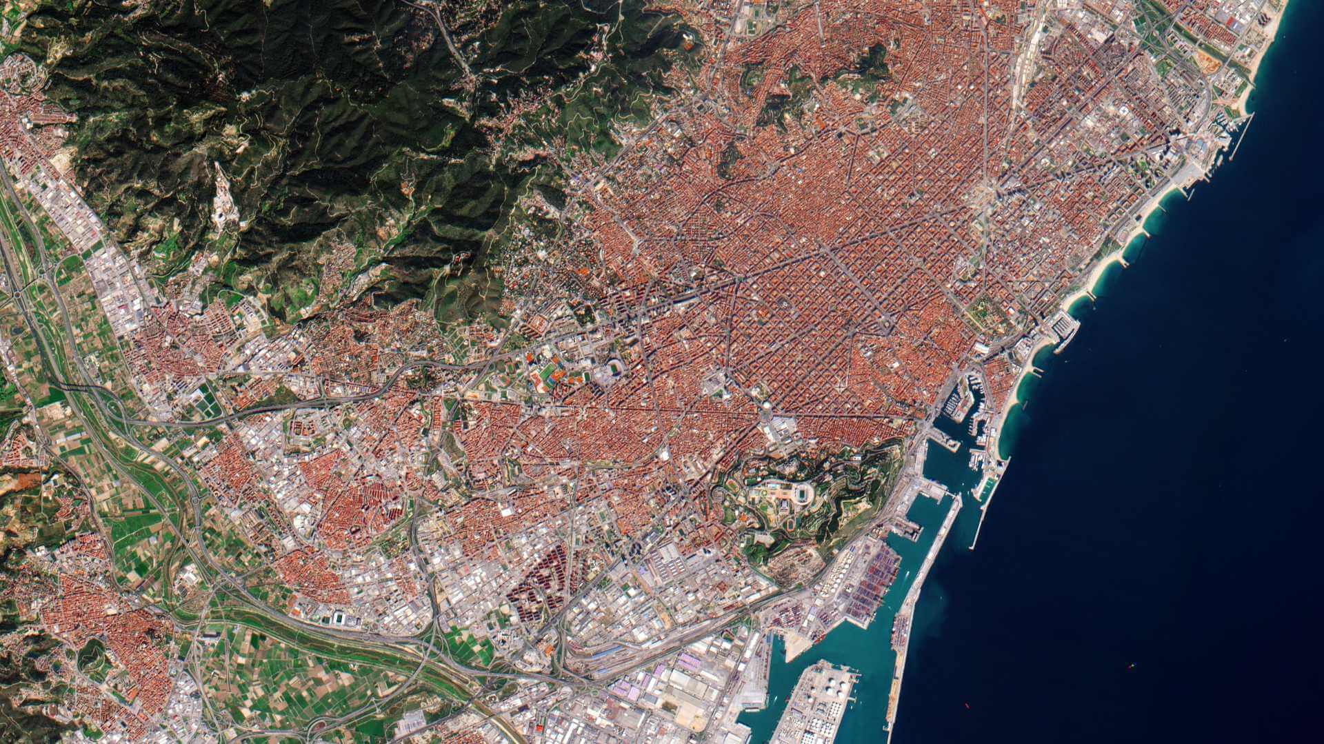
GEOSAT-2 (formerly known as Deimos-2) is an Earth-imaging satellite, built for GEOSAT of Spain, which launched 19 June 2014 and remains operational.
It is the second satellite of the GEOSAT Earth Observation system, following GEOSAT-1. The expected mission lifetime is at least seven years.
A high resolution satellite, it became the first European fully-private satellite capable of providing sub-metric multispectral imagery.
| Orbit Height | 620 km |
| Orbit Type | Sun synchronous |
| Local Time at Ascending Node | 10:30 |
| Revisit Time | 2 days worldwide |
GEOSAT-2 Objectives
GEOSAT-2 was designed to provide a cost-effective and highly responsive service to cope with the increasing need of fast access to sub-metric imagery.
It provides near-real time image tasking, downloading, processing and delivery to the end user.
It has a collection capacity of more than 150,000 km2/day with a two day average revisit time worldwide - one day at mid-latitudes.
GEOSAT-2 Instruments
High Resolution Advanced Imaging System (HiRAIS)
HiRAIS is a 75 cm pan-sharpened multispectral optical instrument with a very-high resolution camera of five spectral channels (one panchromatic, four multispectral).
| Camera | Pushbroom type imager |
| Optics | - Korsch telescope of 42 cm aperture diameter (clear aperture of 40 cm diameter) - Focal length = 5.75 m - FOV = 1.2º Optical components in zerodur, fused silica; Hull: CFRP M55J/RS-3 |
| GSD (Ground Sample Distance) | 0.75 m PAN-sharpened, 4 m MS @ 590 km altitude |
| Spectral Bands | Pan: 560-900 nm MS1: 466-525 (blue) MS2: 532-599 (green) MS3: 640-697 (red) MS4: 770-892 (NIR) |
| FPA (Focal Plane Assembly) | CCD detector with TDI capability |
| TDI detector exposure levels of the various bands | PAN: 6, 12, 24, 48 Blue, green: 4, 8, 16 Red, NIR: 2, 4, 8 |
| Data Quantisation | 10 bit |
| Swath Width | 12 km at nadir (24 km in wide area mode) |
| Data Handling | Lossless compression, real-time encryption |
| Downlink Data Rate | 160 Mbit/s (QPSK) |
| HiRAIS instrument mass, power | 50 kg, ~100 W |
GEOSAT-2 Data
DATA COLLECTIONS
ESA is offering, for scientific research and application development, access to Full archive and New Tasking of GEOSAT-2 data upon submission and acceptance of a project proposal. These products are available as part of the GEOSAT.
ESA will support as many high-quality and innovative projects as possible within the quota limit available, therefore, for the "on demand" TPM, only a limited amount of products can be made available to each project.
Collections available:
ESA offers registered users access, via the Online Dissemination server, to the following data collections

