

Featured
About GEOSAT
The Earth imaging satellites GEOSAT-1 (formerly Deimos-1) and GEOSAT-2 (formerly Deimos-2) are fully owned and operated by GEOSAT company.
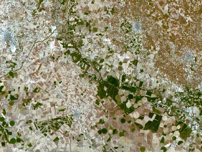
GEOSAT-1 was launched in July 2009 and remains operational. The mission is fully dedicated to Earth observation and captures images all around the world. The GEOSAT-1 system provides capabilities well above and beyond the design goals.
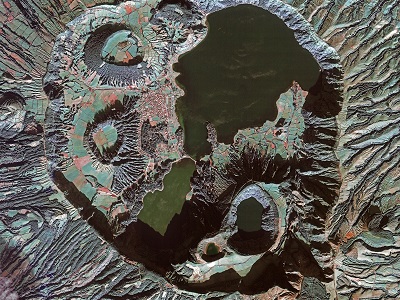
GEOSAT-2 was launched in June 2014 and remains operational. The mission is the second satellite of the GEOSAT Earth observation system, following GEOSAT-1, and provides mid-resolution, very-wide-swath imagery.
The GEOSAT series is part of ESA's Third Party Missions Programme.
GEOSAT Objectives
The objective of the privately funded GEOSAT series is to provide very-high-resolution data, carry out commercially-focused operational imaging missions, supporting rapid-response, and large-area mapping for a range of applications.
GEOSAT Missions
find out more