- All Categories (42)
- News (8)
- Missions (2)
- Events (3)
- Tools (1)
- Activities (5)
- Campaigns (1)
- Documents (22)
News - Events and Proceedings
Φ-Week Triumphs
Opening Session Title: Φ-Week's Opening Session Description: During the fourth edition of ESA’s Φ -Week, Josef Aschbacher, current
News - Success Stories
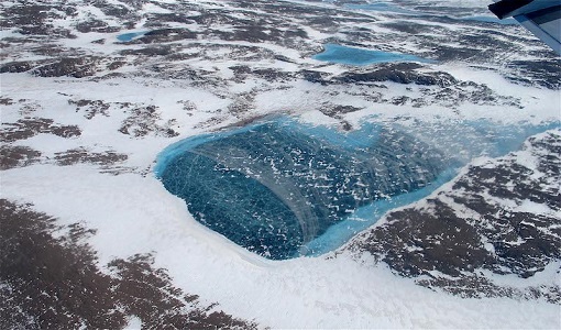
What's happening to Greenland's ice?
Collectively this work provides a 'health check' on the icesheets current status and helps to establish the extent of ice
Campaign
WaddenSAR
The main objective of the campaign was to demonstrate the Harmony mission concept and information products on surface currents
Document - Technical Note
Technical Note on Quality Assessment for Landsat 1-7
Technical Note on Quality Assessment for Landsat 1-7
News - General News
Stunning new features for ESA and NASA altimetry portal cs2eo.org
Currently available polygons include a selection of glacier outlines from the Randolph Glacier Inventory (RGI) Version 6,
Event - Workshop
Space and the Arctic 2009 Workshop
possibilities for the future : Volker Liebig, Director of ESA EO Programme Observations of the Arctic - EUMETSAT's Contribution to Current
Activity - Quality
SLAP
Currently, in excess of 701,000 Level 1 TM and 84,000 Level 1 ETM+ products have been reprocessed and released under the
News - Success Stories
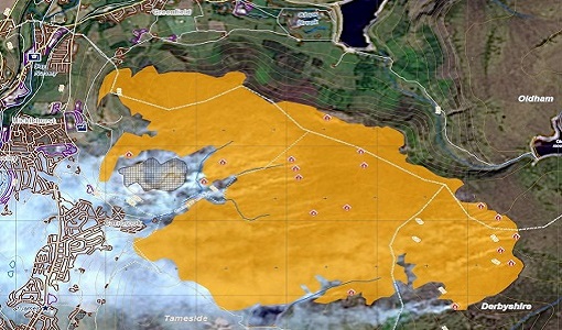
Satellite data allows real-time detection of potential fires
availability, ESA is moving from the classical Landsat 8 L1 production towards the testing of new Real Time processing pilot that currently
Mission - Third Party Missions
Multi Spectral Scanner (MSS) Processor Releases
GCP displacement B TM radiometric calibration Update to radiometric calibration strategy for TM reflective bands (Dark Current
News - Success Stories
Long-term satellite data show wind farms can affect local air currents
Long-term measurements allow before and after comparison Data from the heritage Envisat satellite currently maintained accessible
Document - Product Document
LANDSAT_Products_Description_Document.pdf
This document acts as a User Guide to the Landsat MSS, TM and ETM+ archives, focussing more specifically on the Landsat TM and ETM+ products from the Kiruna, Maspalomas and Matera archives (including from the Matera, Fucino, Neustralitz, O’Higgins, Malindi, Libreville and Bishkek ground stations) that have been generated as part of the ESA archive bulk-reprocessing project.
Document - Product Specifications
Landsat-TM-ETM-CEOS-ESA-Products
This document describes the standards used by ESA for the distribution of the TM and ETM+ (Thematic Mapper and Enhanced Thematic Mapper) optical sensor products.
Document - Product Document
landsat-products-description-document.pdf
LANDSAT Products Description Document
News - Operational News
Landsat-8 web portal now available on new environment
Reprocessed (Tier 1 and Tier 2) products from Matera and Kiruna stations, May 2013 - December 2018; some time windows are currently
Document - Product Document
Landsat-7-Level-1-Product-Output-Files-Data-Format-Control-Book
This Data Format Control Book (DFCB) provides the user with a high-level description of the Landsat 7 Level 1 (L1) distribution product, product packaging, and viewing tools.
Event - Workshop
Insurance Industry Workshop on Earth Observation
Objectives The workshop objectives were: To ensure that the re/insurance community is aware of current and new generation
News - General News
How SNAP facilitates access to ESA Third Party Missions data
SNAP is currently developed by a consortium that includes Brockmann Consult GmbH, CS France, CS Romania, SenSar and SkyWatch
Document - General Reference
Heritage Missions brochure
This brochure describes ESA's Heritage Space Programme and includes infographics describing some of the missions in the programme.
Tools - Visualisation
HEDAVI
ESA’s Heritage EO data currently cover more than 30 years of observations and enable the analysis of spatio-temporal dynamics
Activity - General activities
GSCB and LTDP
Envisat data are used in many fields of Earth science, including atmospheric pollution, fire extent, sea ice motion, ocean currents

