- All Categories (31)
- Data (5)
- News (19)
- Missions (3)
- Events (1)
- Tools (1)
- Activities (2)
Data - Sample Data (Open)
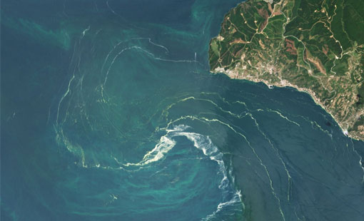
PlanetScope Sample Data
Download free PlanetScope sample datasets to preview products available for this mission.
News - General News
Go-to guide to Third Party Mission data offering
ESA’s latest Third Party Missions Data Access Guide has been published, providing technical details and information on available data collections for all current or past Third Party Missions.
News - Thematic area articles
How to use space data to probe humankind’s ancient past
Data disseminated by ESA’s Third Party Missions (TPM) programme are enabling archaeological investigations that could help to unravel the mysteries of past societies and cultures.
News - Infographics
Focusing on the PlanetScope ESA archive
Learn more about the PlanetScope ESA Archive in our latest infographic.
News - Thematic area articles
Cloud-free collections key for land monitoring
Satellite imagery is a crucially important tool for monitoring the land, but cloud cover can often block parts of Earth’s surface from view, limiting subsequent analyses.
News - Thematic area articles
Remote sensing data map impacts of natural hazards
As climate change increases the frequency and severity of natural disasters, remote sensing data can warn about extreme events and help tackle emergency situations.
News - Thematic area articles
Remote sensing data underpin research on soil
Environmental data disseminated by ESA’s Earth observation programmes provide knowledge about the stresses on Earth’s soils – aiding many applications such as crop management, drought and flood forecasting, and ecosystem protection.
News - Thematic area articles
Global understanding of Earth's land surfaces greatly boosted by satellite data
ESA perform land surface monitoring with a range of instruments onboard satellites acquiring optical and radar data. Collections of data from these missions are freely available for research purposes.
Data - EO Sign In Authentication (Open)
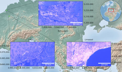
Landsat 5 TM European and Mediterranean Countries Cloud Free Collection
This dataset contains the cloud-free products from Landsat 5 Thematic Mapper collection acquired over Europe, North Africa and the Middle East; for each scene only one product is selected, with the minimal cloud coverage. The acquired Landsat TM scene covers approximately 183 x 172.8 km. A standard full scene is nominally centred on the intersection between a path and row (the actual image centre can vary by up to 100 m). The data are system corrected.
News - Thematic area articles
How satellite data help to shape society
Data from ESA’s Earth observation archives are improving understanding of the interactions between human activities and the environment, helping to power green economic development and boosting prosperity in Europe and beyond.
News - Data Release news
Full European Landsat data collection now available under the same catalogue
The Full European Landsat data collection, from Landsat-1 to Landsat-8, is now available under the same catalogue
News - Success Stories
Heritage data trains neural networks to detect urban sprawl
Using data from non-operational ESA remote sensing missions, researchers have trained a network of artificial neurons to recognise how cities change over decades. They hope this will help city planners reduce the impact that urbanisation has on the environment.
News - Data Release news
New Data Voucher for Planetscope on-demand
ESA’s Third Party Missions Programme offers researchers, scientists and companies from around the world access to Planet’s high-frequency, high-resolution satellite data for non-commercial use.
News - Data Release news
Two new ESA archive collections have been opened for PlanetScope and SkySat
PlanetScope ESA archive and SkySat ESA archive collections are available through ESA’s Third Party Missions programme via Fast Approval Registration.
News - Data Release news
PlanetScope and Skysat data available through ESA’s Third Party Missions Programme
Through ESA’s Third Party Missions Programme, researchers, scientists and companies from around the world can apply to access Planet’s high-frequency, high-resolution satellite data for non-commercial use.
News - Success Stories
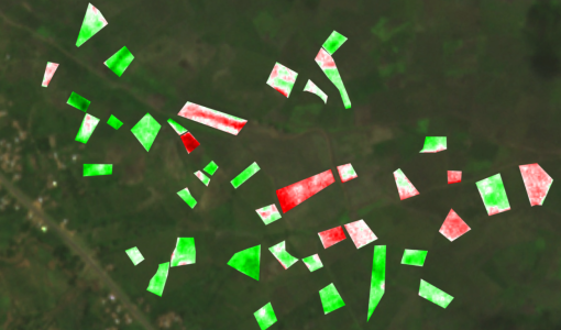
Predicting crop yield using Planet data
The world’s population continues to grow, while the climate crisis is raising Earth’s temperatures and increasing the likelihood of extreme weather events – all of which affect food security.
News - Infographics
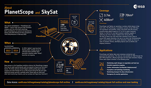
PlanetScope and SkySat - The high-resolution nanosatellite constellation
Find out more about the PlanetScope and SkySat missions in our new infographic.
News - Thematic area articles
Satellite data boost global understanding of land surface
Understanding our changing land surface is essential in the study of climate change. Satellites are used to monitor changes to the material that covers Earth’s surface, so-called land cover, such as vegetation and water.
News - Infographics
An overview of ESA's Third Party Missions programme
ESA’s Third Party Missions programme consists of almost 50 satellite missions, which are owned by organisations around the world. ESA has agreements with these organisations to acquire, process, and distribute data from their missions
Data - Data Description
Landsat TM ESA archive
This dataset contains all the Landsat-5 Thematic Mapper high-quality ortho-rectified L1T dataset acquired by ESA over the Fucino, Matera, Kiruna and Maspalomas visibility masks, as well as campaign data over Malindi, Bishkek, Chetumal, and Libreville. The acquired Landsat TM scene covers approximately 183 x 172.8 km. A standard full scene is nominally centred on the intersection between a path and row (the actual image centre can vary by up to 100 m). A full image is composed of 6920 pixels x 5760 lines and each band requires 40 MB of storage space (uncompressed) at 30 m spatial resolution in the VIS, NIR and SWIR as well as 120 m in the TIR spectral range. Kiruna Landsat TM GTC density map Maspalomas Landsat TM GTC density map Matera Landsat TM GTC density map


