- News & Events
- PlanetScope and Skysat data av...
PlanetScope and Skysat data available through ESA’s Third Party Missions Programme
20 May 2022
Through ESA's Third Party Missions Programme, researchers, scientists and companies from around the world can apply to access Planet’s high-frequency, high-resolution satellite data for non-commercial use. Planet data support activities in the following areas:
- Monitoring rapid changes in vegetation and land use
- Detailed vegetation mapping
- Surface deformation (earthquake displacements)
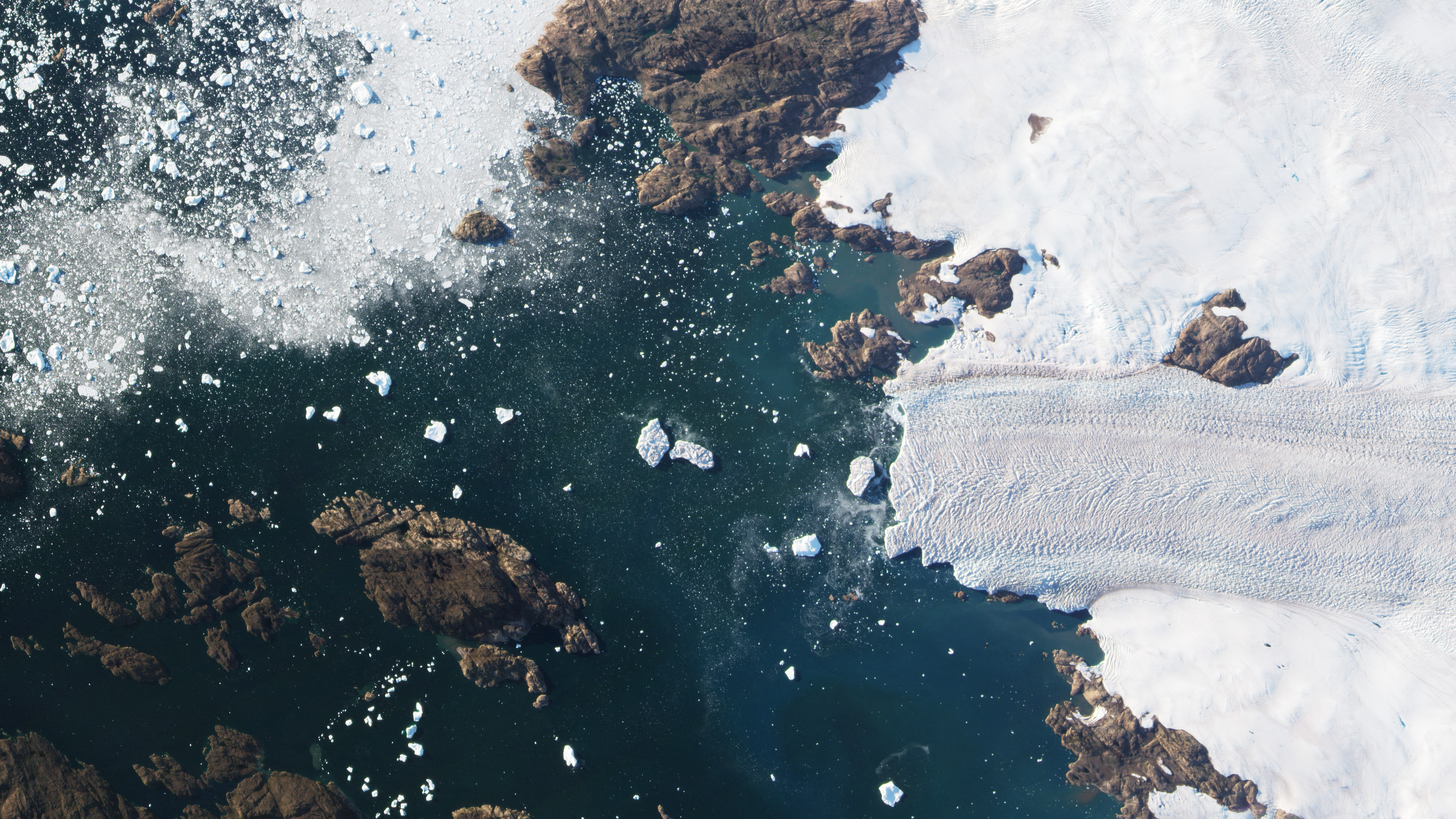
- Cryosphere and hydrology monitoring
- Monitoring transport & urban infrastructure
- Emergency & security applications
ESA is offering, for scientific research and application development, access to data from PlanetScope and SkySat missions, upon submission and acceptance of a project proposal.
The PlanetScope camera on each DOVE cubesat operates currently in four bands (red, green, blue and near infra-red) or five bands including an additional RedEdge band; offering a Ground Sampling Distance of 3.7 m at nadir.
The SkySat constellation collects thousands of square kilometres of imagery. Each satellite is three-axis stabilised and agile enough to slew between different targets of interest, offering a Ground Resolution after Super-Resolution processing (nadir) from 0.57 m to 0.86 m in Panchromatic mode and from 0.75m to 1m in Multispectral mode.
Learn more about the data collections available from these missions:
Availability and restrictions to the use of the data are described in the ESA Third Party Missions (TPM) T&C and in the Terms of Applicability document.