- All Categories (67)
- Data (21)
- News (20)
- Missions (5)
- Events (16)
- Documents (5)
NEWS
Discover the latest news on the European Space Agency's Earth Observation activities. Learn all about new data availability and how ESA's missions are performing.
News - Infographics
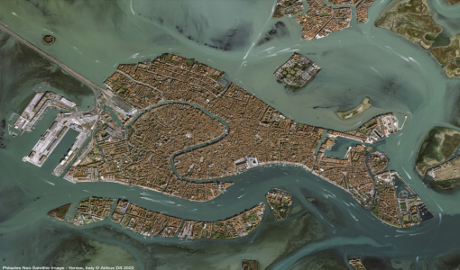
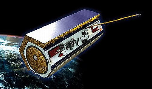
31 May 2023An overview of the Pléiades Neo mission
Pléiades Neo is a constellation of two very high-resolution satellites, launched in 2021, which were created to follow on from the Pléiades mission.
News - Thematic area articles
3 Mar 2023Monitoring water on Earth's surface
ESA's Earth observation satellites are playing a leading role in furthering our understanding of how Earth's terrestrial hydrosphere is being influenced by humankind.
News - Data Release news
1 Mar 2023New data available: GEOSAT-2 Portugal Coverage 2021
A new collection is available to the public through ESA’s Earthnet Third Party Missions Programme: the GEOSAT-2 Portugal Coverage 2021.
News - Thematic area articles
9 Dec 2022Global understanding of Earth's land surfaces greatly boosted by satellite data
ESA perform land surface monitoring with a range of instruments onboard satellites acquiring optical and radar data. Collections of data from these missions are freely available for research purposes.
News - Data Release news
 6 Oct 2022
PAZ ESA archive now open to users
The PAZ ESA archive collection is now freely available for researchers worldwide through ESA's Third Party Missions programme.
News - Data Release news
 6 Oct 2022
ICEYE ESA archive collection now available to users
ICEYE ESA archive collection is now available worldwide through ESA’s Third Party Missions programme. The ESA archive collections consist of products requested by ESA-supported projects worldwide, and, therefore, the products are scattered and dispersed over the territory in different time windows. The datasets regularly grow as ESA collects new products over the years.
News - Success Stories
 26 July 2022
SAR synergy data for maritime surveillance
With the aim of safeguarding our oceans, a recent study uses a synergy of synthetic aperture radar (SAR) images to improve maritime surveillance.
News - Success Stories
 27 June 2022
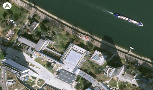
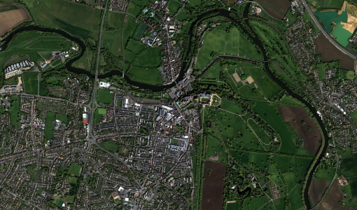
Pléiades Neo captures ESA Team Day event
At the European Space Research and Technology Centre (ESTEC), about 2000 staff created a human formation of the ESA logo and it was captured by Pléiades Neo high resolution optical satellite.
News - Data Release news
 30 May 2022
Pléiades Neo data now open to users
Very High Resolution optical Pléiades Neo data is available for research and development projects upon submission of a project proposal, subject to evaluation and acceptance by ESA and the data owner.
News - Success Stories
 23 May 2022
Living Planet Symposium showcases Pléiades Neo data
This week, the community of Earth observation data users gather at the Living Planet Symposium to explore the latest progress in Earth observation satellites and data.
News - Success Stories
 17 May 2022
Vision-1 to enable cutting-edge science and spur innovation
Vision-1 – which is the result of a collaboration between Airbus Defence and Space and Surrey Satellite Technology Ltd. (SSTL) – provides sub-metric imagery to support activities across many industries, including urban planning, agricultural monitoring, land classification, natural resource management and disaster monitoring.
News - Data Release news
 17 May 2022
Vision-1 data now open to users
In the framework of the Third Party Missions programme, ESA is offering, for scientific research and application development, access to archive and new tasking data from the Vision-1 mission upon submission and acceptance of a project proposal.
News - Infographics
 20 Apr 2022
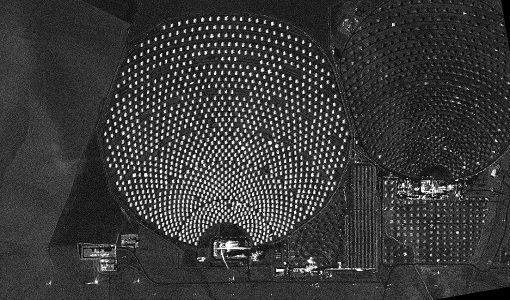
PlanetScope and SkySat - The high-resolution nanosatellite constellation
Find out more about the PlanetScope and SkySat missions in our new infographic.
News - Thematic area articles
 2 Feb 2022
Satellite data boost global understanding of land surface
Understanding our changing land surface is essential in the study of climate change. Satellites are used to monitor changes to the material that covers Earth’s surface, so-called land cover, such as vegetation and water.
News - Data Release news
 18 Jan 2022
New imaging modes added to PAZ collection
Two new imaging modes, Wide ScanSAR and Staring Spotlight, have been added to the PAZ offering and are now available to users for research and application development following submission of a project proposal subject to evaluation and acceptance by ESA and the data owner.
News - General News
 10 June 2021
Introducing the newest Third Party Mission: ICEYE
ESA's Earth Observation Programme Board has approved the integration of the ICEYE mission, as a Third Party Mission (TPM) within the framework of the ESA Earthnet programme.
News - Success Stories
 22 Dec 2020
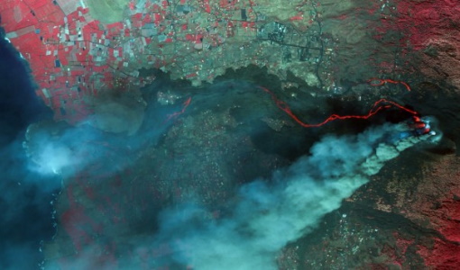
Using Satellite Data to Predict Floods and Droughts
Scientists are turning to remote sensing to fill the in-situ data gap in hydrological data models in some parts of the world.
News - Success Stories
 10 Nov 2020
Publication of Coastal Current Intrusions from Satellite Altimetry
A new study entitled “Coastal current intrusions from satellite altimetry” has just been published in the journal Remote Sensing. This study comes from an international collaboration between the European Space Agency (ESA), MIO (Fr), CNR (It) and Serco (It) with the goal of monitoring coastal intrusions into the Gulf of Lion by analyzing multi-mission Satellite Altimetry data with Machine Learning methods
News - Data Release news
 8 Oct 2020
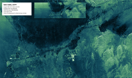
RADARSAT data on demand
In the framework of the Earthnet programme, ESA is distributing RADARSAT data on-demand to support EO science and research activities.
News - General News
 24 June 2020
PAZ data now available to users worldwide
ESA is pleased to announce the availability of the PAZ satellite products to the scientific community, for R&D activities and start-ups.