- News & Events
- PAZ data now available to user...
PAZ data now available to users worldwide
24 Jun 2020
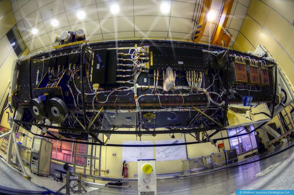
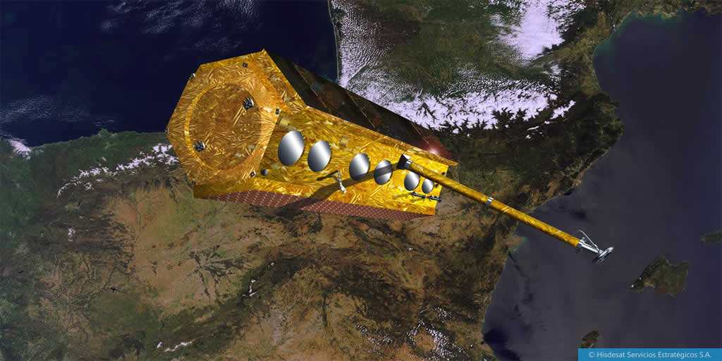
Launched on 22 February 2018, owned and operated by Hisdesat, the PAZ satellite is based on the use of a high resolution X-band Synthetic Aperture Radar (SAR), and located on the same orbit of its twin satellites TerraSAR-X and TanDEM-X.
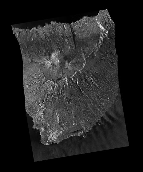
PAZ (‘peace’) is a Spanish radar technology satellite, designed to address not only security and defence requirements, but also civilian nature ones. It is capable of taking more than 100 images of up to 25 cm resolution daily, regardless of weather conditions, both during day and night.
Daily covering an area of over 300,000 square kilometres and orbiting Earth fifteen times, PAZ is able to access any location on Earth every 24 hours, thanks to its agility and slightly inclined quasi-polar orbit.
The orbit position has an accuracy over 10 m based on the use of GPS measurements in the orbit control system. This allows the PAZ products to have very precise geolocation values.
PAZ is equipped with a side-looking X-Band SAR, using the active phased array antenna technology, with an operational instantaneous bandwidth up to 300 MHz. It was designed to be very flexible and is able to operate in a wide array of configurations, depending on the desired image performance:
- StripMap mode (SM): single or dual polarization, 30 x 30 km, resolution 3 m
- ScanSAR mode (SC): single polarization, 100 x 100 km, resolution <=15 m
- Spotlight mode (SL): single or dual polarization, 5 x 10 km, resolution =<1 m
- High Resolution Spotlight mode (HS): single or dual polarization, 5 x 5 km, resolution =<1 m
PAZ will implement two additional modes in the near future (expected in summer 2020), both in single polarisation - Wide ScanSAR mode is 6 beams ScanSAR with a resolution better than 40 m in a swath of 200 Km, and Staring Spotlight mode with a resolution less than 0.25 m and a swath close to 4 Km.
PAZ provides Earth Observation capabilities for multiple purposes: border control, intelligence, environmental monitoring, protection of natural resources, military operations, enforcement of international treaties, surface monitoring, city and infrastructure planning, monitoring of natural catastrophes and high-resolution mapping, among many others.
For more information on the available PAZ data, please see the Data Description