- All Categories (28532)
- Data (26)
- News (112)
- Missions (17)
- Events (32)
- Tools (8)
- Activities (8)
- Campaigns (11)
- Documents (28318)
News - Success Stories

10 years of Envisat data help to illuminate ocean processes
A decade after Envisat beamed its final image to the planet, the pioneering ESA mission is continuing to foster improved understanding of Earth’s systems.
Event - Conference

15 Years of Progress in Radar Altimetry Symposium
A Symposium on "15 Years of Progress in Radar Altimetry" and the annual meeting of the Ocean Surface Topography Science Team, the International Doris Service Workshop and the ARGO Workshop.
Document - Conference Presentation - Poster

1_POLinSAR_2013_Eltoft.pdf
Polarimetric decomposition analysis of Sea Ice data T. Eltoft [University of Tromso - Norway]
News - Data Release news

2015 CryoSat Ice Baseline D reprocessed data now available
The reprocessed CryoSat Ice Baseline D data for all of 2015 has now been published on the Science Server.
News - Data Release news

2016 CryoSat Ice Baseline D reprocessed data now available
The reprocessed CryoSat Ice Baseline D data for 2016 has now been published on the Science Server.
Event - Training

2nd Advanced Training Course on Ocean Remote Sensing 2009
This advanced training course focused on ocean remote sensing theory and applications.
Event - Workshop

2nd CHRIS PROBA Workshop
This 2004 workshop was on the treatment of Compact High Resolution Images Spectrometer (CHRIS) data.
Event - Training
3rd Advanced Training Course on Land Remote Sensing 2011
This 2011 advanced ESA training course focused on land remote sensing theory and applications.
Event - Conference
3rd ERS Symposium
The ESA Directorate for Observation of the Earth and its Environment held the 3rd ERS Symposium, in 1997, where many of the results from the ERS-1 and ERS-2 missions were presented and discussed by the scientific community.
Event - Workshop
3rd International GOCE User Workshop
This workshop focussed on the oceanographic applications, such as absolute dynamic topography, of GOCE data in conjunction with other space-borne data, such as radar altimetry, and in-situ data and models.
Event - Meeting

3rd Sentinel-2 Validation Team Meeting
This Sentinel-2 Validation Team (S2VT) meeting was the third edition of a meeting series, initiated in 2016. The S2VT is organised under the auspices of ESA, CNES, and ENSEEIHT.
Document - Conference Presentation - Poster
5_SummaryOceanCryosphere.pdf
Applications on Ocean & Cryosphere
News - Operational News
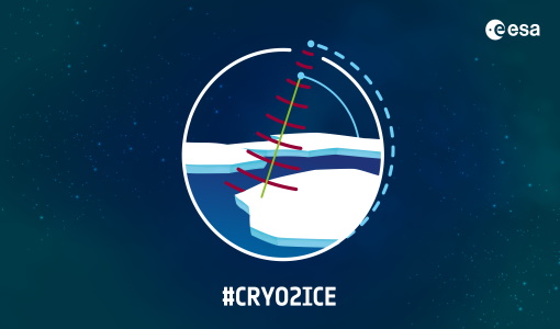
A Closer Look at CRYO2ICE Manoeuvres
Between 16 and 31 July 2020, ESA raised the orbit of Earth Explorer CryoSat-2 to periodically align with NASA’s ICESat-2 in a campaign dubbed CRYO2ICE.
Document - Product Cal/Val Plan/Report

ABSOLUTE RADIOMETRIC AND POLARIMETRIC CALIBRATION OF ALOS PALSAR PRODUCTS GENERATED WITHIN ADEN
The aim of this document is to describe the steps to perform the absolute radiometric calibration and the relative polarimetric calibration of ALOS-PALSAR products generated by the processor delivered by JAXA and installed in the ADEN environment.
Document - Product Specifications

ADEN-Data-Products-Description-and-Ordering-Recommendations.pdf
This document describes the ALOS ADEN data products and JAXA's recommendations for downloading them.
Event - Training
Advanced Ocean Synergy Training Course
This ESA course was devoted to training the next generation of Earth Observation scientists to exploit data from ESA and Third Party Mission instruments for ocean science and application development.
Event - Training
Advanced Training Course in Land Remote Sensing 2012
The 2012 advanced training course focused on land remote sensing theory and applications.
Event - Training
Advanced Training Course in Ocean Remote Sensing 2011
Within the framework of the Dragon Programme, a joint collaboration between the European Space Agency (ESA) and the Chinese Ministry of Science and Technology (MOST), ESA and NRSCC are providing a series of advanced thematic training courses on remote sensing applications hosted by university and research institutions in P.R. China.
Event - Training
Advanced Training Course on Ocean Remote Sensing 2006
The objective of the course was to provide first-hand information on a broad range of ocean research topics including key principles of SAR, Radar Altimetry, Ocean Colour and Sea Surface Temperature measurements, processing algorithms, data products and their use in oceanographic applications.
Mission - Earth Explorers

Aeolus
The Aeolus mission which was launched into space on 22 August 2018 and was retired on 30 April 2023, provided global observations of wind profiles from space to improve the quality of weather forecasts, and to advance our understanding of atmospheric dynamics and climate processes.