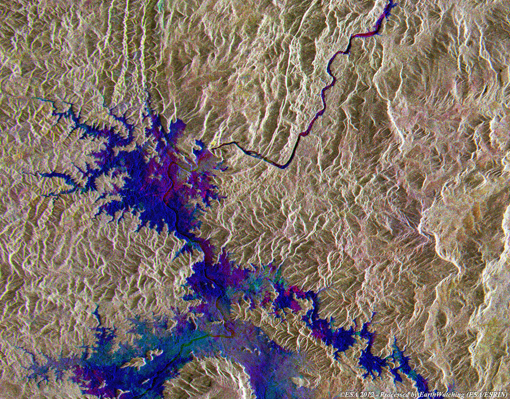
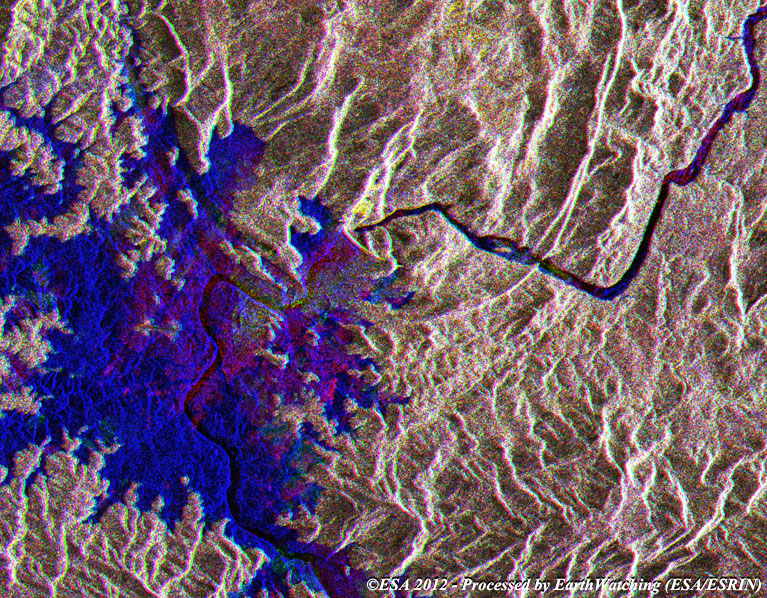
This image, created with a merge of ERS-2 and Envisat satellite images, shows the Serra da Mesa Dam, in Brazil. The Serra da Mesa Dam was built to serve a hydroelectric power plant and forms the largest reservoir in Brazil. Construction of the dam and power station began in 1986, and on 24 October 1996 the dam began to inundate with water from the Tocantins River. This process ended in 1998 when the reservoir was full.
The two images acquired on 2005 and 2007 by Envisat, show the reservoir as it appeared after the dam was constructed and are shaded in blue. The dam itself is visible in the areas shaded red and green. The black areas show where the river was before the dam was constructed, as seen in the ERS-2 image.
|
Full multi-temporal view of dam |
|
Technical Information |
|
Satellite: |
ERS-2 and Envisat |
|
Instrument: |
Synthetic Aperture Radar (SAR) / (ASAR) |
|
Date of acquisition |
10 Feb 2007, 05 Feb 2005, 13 Apr 1996 |
|
Orbit number: |
Envisat: 25872, 15351 - ERS-2: 05131 |
|
Band combination: |
Multi-temporal image (RGB) |
|
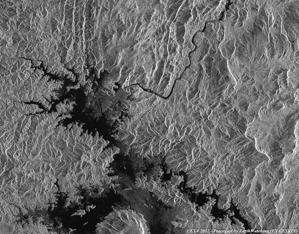
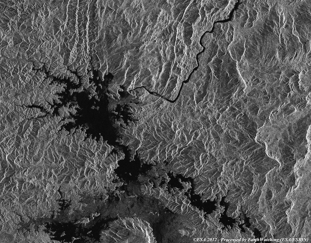
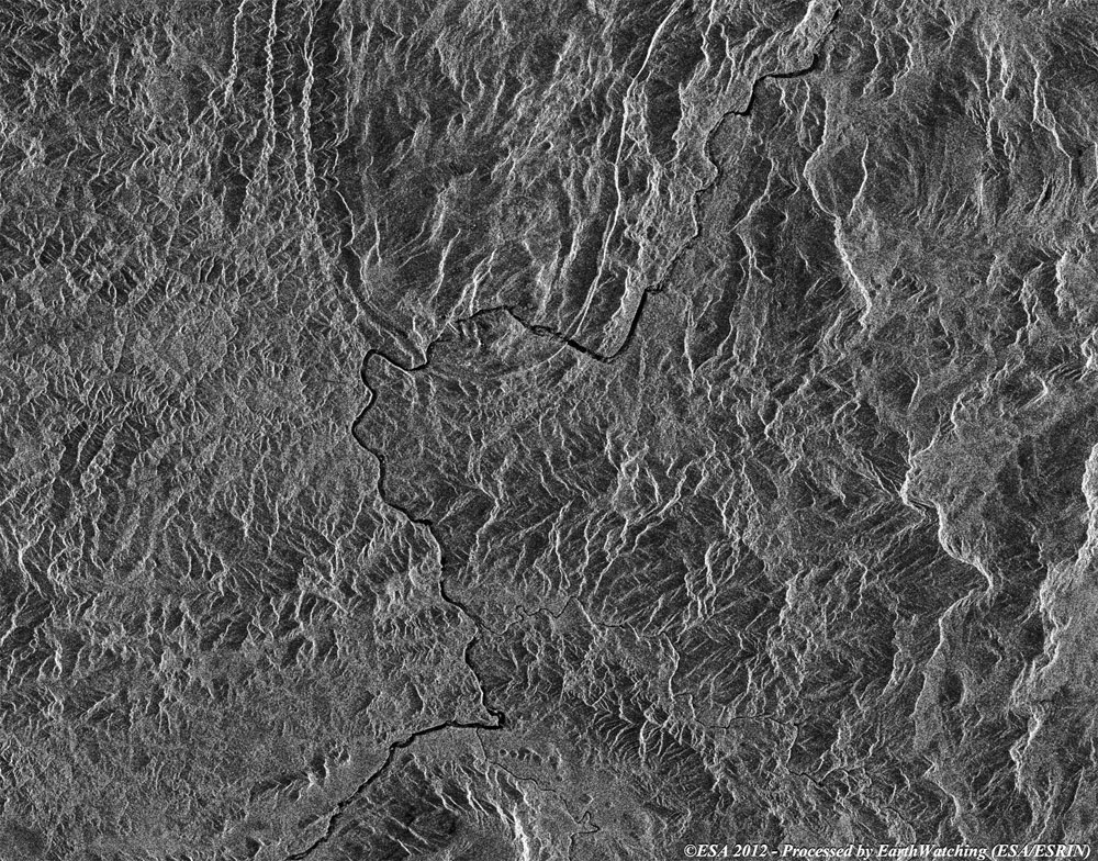
Images used to create the multi-temporal merge |
Back to top
 Browse SAR Events by Year