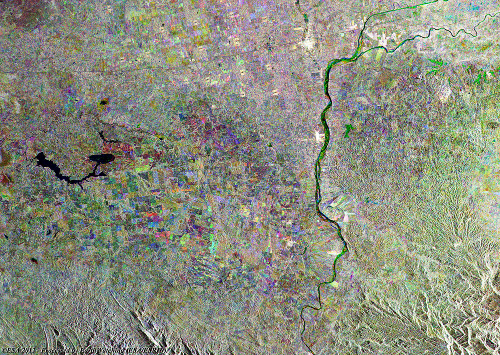
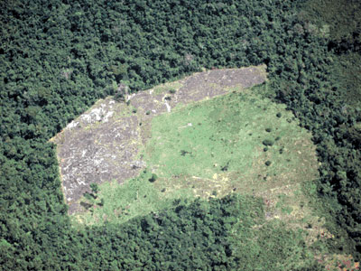
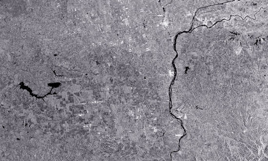
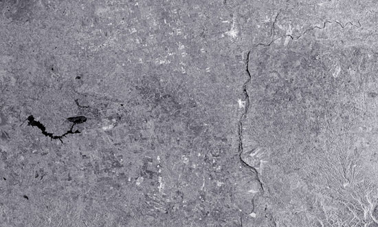
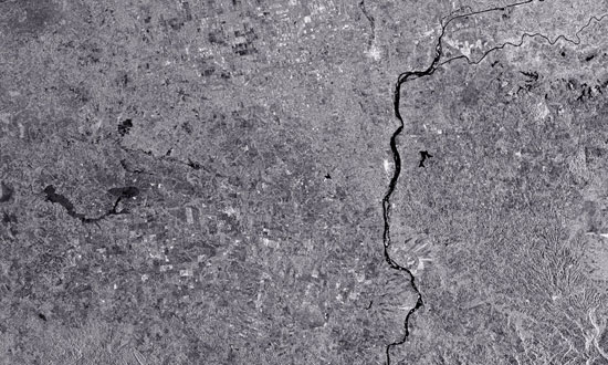
This composite radar multi-layer image was created by merging three separate images from ESA's ERS-2 and Envisat satellites, acquired at different dates during the missions. The image shows a large area of deforestation in the Tabasco Region of Mexico.
Mexico has the fifth worst deforestation rate in the world, which is caused by a variety of reasons. Deforestation can be seen as a sign of progress to some in Mexico, making way for new habitation, agriculture and cattle ranching. Recent natural disasters have also taken a toll on the ecology, as the Gulf of Mexico is famously Hurricane-prone. Forests act as a natural sponge, too, able to absorb a degree of excess rain and flood-waters, and so the deforestation contributes to slower recovery times after floods.
500 years ago it was estimated that two-thirds of Mexico were forested, but today less than one-fifth remains so.
|
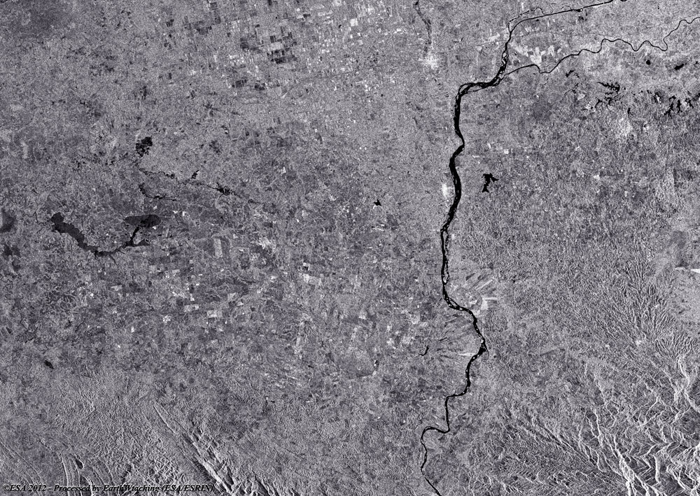
Full multi-temporal image |
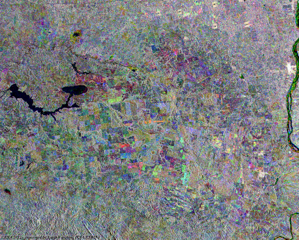
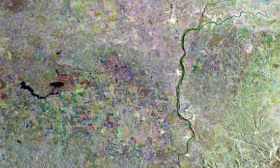
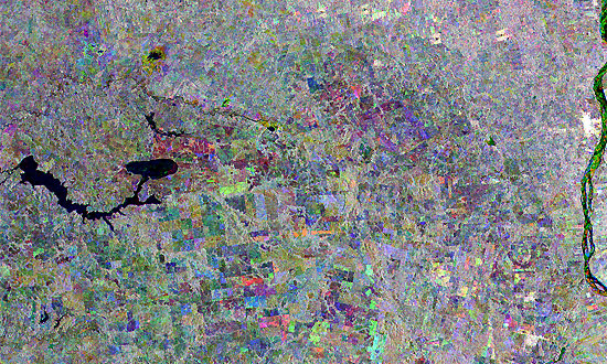
This multi-colour image shows the state of deforestation during the years between 1992 and 2011. To differentiate the state of the areas, we have colour coded the layers to show where deforestation is occurring. Red (orbit acquired in 2011) and in Green (orbit acquired in 2004).
|
Magnified view of deforestation area |
|
Technical Information |
|
Satellites: |
ERS-2 and Envisat |
|
Instruments: |
Synthetic Aperture Radar (SAR) and ASAR (30m resolution) |
|
Date of Acquisitions |
06 Feb 2011, 08 Feb 2004, 24 Sep 1992 |
|
Orbit number: |
82602, 10157, 06240 |
|
Band combination: |
Multi-temporal image (RGB) |
|
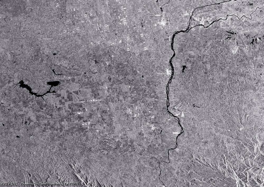
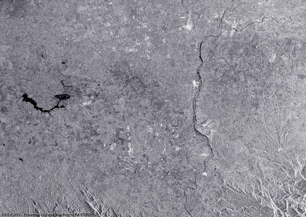
Images used to create the multi-temporal image |
Back To Top
 Browse SAR Events by Year