- All Categories (305)
- Data (28)
- News (70)
- Missions (2)
- Events (33)
- Tools (15)
- Activities (13)
- Campaigns (1)
- Documents (143)
News - Events and Proceedings
Φ-Week Triumphs
In its fourth edition, Φ-Week presented the scientific community with amazing opportunities and projects—thus running alongside innovation at 360 degrees.
News - Events and Proceedings
VHR Data Quality in the limelight
In recent years, the satellite landscape has steadily expanded with a variety of very high resolution (VHR) commercial satellites, also emerging from new space providers. A result of this growth is an increased need to address data quality assurance.
Event - Meeting
VH-RODA and CEOS SAR workshop
The workshop provided an open forum for the presentation and discussion of current status and future developments related to the calibration and validation of space borne very high-resolution SAR and optical sensors and data products.
Event - Workshop
VH-RODA 2021 Workshop
The Very High-resolution Radar & Optical Data Assessment (VH-RODA) 2021 workshop was held online from 20–23 April 2021.
News - Events and Proceedings
Very High Resolution data to take centre stage
In the last few years, European New Space providers have helped strengthen the offering of very high resolution remote sensing data products—a designated workshop this November aims to focus on the latest developments in this arena.
Activity - Cal/Val activities
UV nadir viewing galleries
Atmospheric chemistry nadir observation from space now spans nearly forty years. The early UVN (UV nadir missions) mainly focused on measuring ozone.
News - Data Release news
Updated Precise Orbit data (POD) for the full ERS-1 and ERS-2 mission available
The Precise Orbit files (ERS.ORB.POD) for the entire ERS-1 and ERS-2 mission periods have been reprocessed with up-to-date standards.
News - Thematic area articles
Transforming space data into climate action
ESA’s Earth observation activities are playing a key role in the revitalised global drive to combat climate change.
News - Success Stories
Trailblazing ERS-2 mission enables climate change applications
As ESA’s ERS-2 satellite approaches Earth’s atmosphere for reentry, it’s time to reflect on the mission’s great achievements in powering climate-related applications.
News - Success Stories
TPM data help advance plastic litter detection from space
Several innovative ESA Discovery element projects exploring remote sensing of plastic marine litter lean on commercial satellite data disseminated via the Agency’s Third Party Mission programme.
News - Infographics
Timeline to over 40 years of historical satellite missions
ESA's Heritage Space Programme preserves historical data from over 40 years of Earth observation missions.
News - General News
Three new Third Party Missions under evaluation
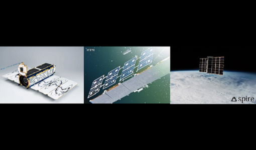
ICEYE, PlanetScope and Spire under evaluation. Interested users can investigate suitability of the data for scientific and R&D activities.
Document - General Reference
Third Party Missions Brochure
This brochure summarises ESA's Third Party Missions programme, providing a timeline and examples of content related to some of the missions.
Document - Proceedings
Third ESA International Conference on Spacecraft Guidance, Navigation and Control Systems
The proceedings from the Third ESA International Conference on Spacecraft Guidance, Navigation and Control Systems, which took place at ESTEC in Noordwijk, the Netherlands, from 26 to 29 November 1996, are presented here.
Document - Technical Note
Technical Note on Quality Assessment for ICEYE X4, X6 & X7
Technical Note on Quality Assessment for ICEYE X4, X6 & X7
News - Data Release news
Spot Extended Area mode added to ICEYE on-demand portfolio
As an evolution of Spot mode, Spot Extended Area products are now available with the same resolution of Spot data (ground resolution of 1 m) but enabling to cover the area of 225 km2 (15 x 15 km) in a single SAR image.
News - Thematic area articles
Space data support Earth’s ecosystems
ESA’s Earth observation (EO) missions are making a critical contribution to monitoring transformations in our planet’s ecosystems, helping track changes in the vegetation, soil, and ocean that affect these systems.
Event - Workshop
Space and the Arctic 2009 Workshop
Temperatures in the Arctic are rising at an unprecedented rate. This workshop looked at the needs and challenges of working and living in the rapidly changing Arctic and explore how space-based services might help to meet those needs.

