- All Categories (77)
- Data (5)
- News (12)
- Missions (6)
- Events (1)
- Tools (5)
- Activities (5)
- Campaigns (1)
- Documents (42)
Document - User Guide
User Manual - LEDA 13 Landsat
This infosheet describes the Landsat databank. The databank is a catalogue of imagery remotely sensed by the Landsat series of satellites (Landsat l to 5) available at ESA/Earthnet and acquired at Fucino (Italy), Kiruna (Sweden) and Maspalomas (Canaries).
Activity - Projects
TOLEOS
The TOLEOS (Thermosphere Observations from Low-Earth Orbiting Satellites) project will produce thermosphere mass density observations from the accelerometer measurements of the GRACE, GRACE-FO, and CHAMP satellites.
Document - User Guide
Third Party Missions, Cat-1 Data Availability
This brochure gives a quick overview on the availability of the Third Party Missions IRS-P3, JERS-1, NIMBUS, Proba, Landsat, KOMPSAT-1, SCISAT-1, Terra/Aqua, NOAA, QSCAT, OrbView, SPOT-1,-2,-3,-4, ALOS.
Campaign
THERMOPOLIS
The THERMOPOLIS 2009 campaign mainly served the DUE “Urban Heat islands (UHI) and Urban Thermography (UT) Project”
Data - Campaigns (Open)
THERMOPOLIS
The THERMOPOLIS 2009 campaign mainly served the DUE “Urban Heat islands (UHI) and Urban Thermography (UT) Project”
Tools - Other
Swarm-Aurora
Swarm-Aurora, a web-based tool, was designed to facilitate and drive the use of Swarm in-situ measurements in auroral science.
News - Announcement of Opportunity updates
Swarm DISC Deadline Extension
Swarm DISC Invitation to Tender deadline extension for SD-ITT-4.4: Swarm for Space Weather
Mission - Earth Explorers
Swarm
Swarm is dedicated to creating a highly detailed survey of Earth’s geomagnetic field and its temporal evolution as well as the electric field in the atmosphere using a constellation of three identical satellites.
Activity - Quality
SLAP
The SLAP (Systematic Landsat Archive Processing) project covers the MSS, TM and ETM+ products from Landsat missions 1 – 7, and is the first systematic reprocessing of the ESA Landsat archive.
News - Success Stories
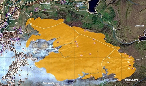
Satellite data allows real-time detection of potential fires
A pilot Fire Detection Service, based on real-time processing of Landsat-8 data being assessed within the framework of ESA's Earthnet Programme.
Document - General Reference
Operational-Atmospheric-Correction-of-Landsat-TM-Imagery.pdf
This article is extracted from Earth Observation Quarterly Nr.56-57 of December 1997. It describes the atmospheric correction method of ESA Landsat Thematic Mapper (TM) product line.
Document - Technical Note
On-orbit Attitude Control and Determination System (ACDS) Performance of the Landsat 7 Spacecraft
Document - Technical Note
ngEO Browse Report File Generic Interface (BRGICD)
Statistical description of the ngEO Generic Browse Report File.
News - Data Release news
New reprocessed Landsat data on a new dissemination server
The full ESA Landsat archive has been reprocessed with the latest version of the processor to provide a homogenous dataset covering MSS, TM and ETM+ data.
News - General News
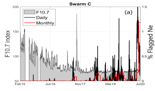
New paper “Swarm Langmuir probes' data quality validation and future improvements” published
The paper “Swarm Langmuir probes' data quality validation and future improvements” by F. Catapano et al. has been published in the Geoscientific Instrumentation, Methods and Data Systems (GI) journal in March 2022.
News - Success Stories
New life for Landsat historical data
45 years of data, more than 1.8 million images, these are the numbers of an adventure started 48 years ago with the launch of the first Landsat satellite.
News - Events and Proceedings
National missions in the spotlight at the Living Planet Symposium
In the framework of ESA’s Third Party Missions (TPM) programme, the agency offers access to the full data archives of almost 50 satellite missions, which are owned by organisations around the world.
Document - Technical Note
MSS-Quality-Assessment.pdf
Presentation assessing the accuracy of the radiometric calibration and geolocation of Landsat MSS products.


