- Campaigns
- THERMOPOLIS
THERMOPOLIS
Overview
What was the purpose of THERMOPOLIS?
The THERMOPOLIS 2009 campaign mainly served the DUE “Urban Heat islands (UHI) and Urban Thermography (UT) Project” [RD2] and also played part of the framework of proposed activities for the Reorientation of the Fuegosat Consolidation Phase of the Earth Watch Programme [RD1].
What was the outcome of THERMOPOLIS?
The Experiment Plan was executed as planned. Data acquired during the THERMOPOLIS Campaign were successfully analysed and proven suitable to support the UHI project.
The reported work carried out by NOA, INTA and UVEG during the ATHENS THERMOPOLIS 2009 Campaign, resulted in data that support the UHI project objectives, via the analysis of comprehensive validated data sets and the data from the urban weather stations, concerning the quality assessment of the UHI information products.
Download the THERMOPOLIS Final Report
| Data Coverage (Year) | 2009 |
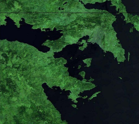
| Geographic Site | City of Athens (Greece) |
| Field Applicaion | Urban Heat Islands (Multispectral Thermal Infared) |
| Data Size | More than 50 GB |
| LIDAR data | Available |
Digital Object Identifier: https://doi.org/10.5270/esa-y1mbiqg - THERMOPOLIS
Data
The campaign data is available online via FTPS upon submission of a data access request. An active EO Sign In account is required to submit the request.
The data can be downloaded via an FTP client (e.g., FileZilla or WinSCP) using the option "Implicit FTP over TLS".
For further information about the EO Sign In Service you can visit TellUs
Should you need support please contact EOHelp