- All Categories (21)
- Data (2)
- News (2)
- Missions (4)
- Events (5)
- Tools (4)
- Activities (1)
- Documents (3)
News - Success Stories
New worldwide dataset captures the planet in fine detail
Scientists have developed an open source planetwide dataset of high-resolution Earth observation imagery, thanks to commercial data delivered by ESA’s Third Party Missions (TPM) programme.
Tools - Catalogues
FedEO
FedEO is a data catalogue that provides a unique entry point to a number of scientific catalogues and services for, but not limited to, European and Canadian missions.
Tools - Catalogues
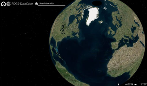
ESA PDGS DataCube
ESA's DataCube is a data catalogue that enables multi-temporal and pixel-based access to a subset of data available from ESA
Tools - Catalogues
EO CAT
EO CAT is a data catalogue, offering a Next Generation Earth Observation system designed to manage end-user Earth Observation services.
Event - Conference
Dragon 3 2014 Symposium
The Dragon 3 2014 Symposium was part of the Dragon 3 Programme, focussed on exploitation of ESA, ESA's Third Party Missions and Chinese Earth observation data for geo-science and applications development in land, ocean and atmospheric applications.
Event - Conference
Dragon 3 2015 Symposium
The Dragon 3 2015 Symposium was part of the Dragon 3 Programme, focussed on exploitation of ESA, ESA's Third Party Missions and Chinese Earth observation data for geo-science and applications development in land, ocean and atmospheric applications.
Event - Conference
Dragon 3 2016 Symposium
The Dragon 3 2016 Symposium served as the close of the Dragon 3 Cooperation Programme (2012 to 2016) and formal kick off for Dragon 4 Cooperation projects.
Activity - Projects
Dragon 3 Cooperation Programme
The Dragon 3 Programme focussed on the exploitation of ESA, ESA's Third Party Missions and Chinese Earth observation data for geo-science and applications development in land, ocean and atmospheric applications.
Data - Project Proposal (Restrained)
SPOT-6 to 7 full archive and tasking
The SPOT 6 and 7 satellites ensure data continuity with the no longer operational SPOT 5 satellite and provide an archive of very high resolution optical acquisition as well as the possibility to task the satellites for new acquisitions. Following the completion of the SPOT 7 mission in March 2023, new acquisition tasking is only available for the SPOT 6 satellite. The ortho-products are automatically generated by the SPOT 6 and 7 ground segment, based on SRTM database or Reference3D when available. The projection available for SPOT 6 and 7 ortho-products is UTM, datum WGS84. Bands combinations: Pansharpened: colour image at 1.5 m resolution Bundle: 1.5 m panchromatic image and 6 m multispectral image. Geometric processing levels: Primary: The Primary product is the processing level closest to the natural image acquired by the sensor. This product restores perfect collection conditions: the sensor is placed in rectilinear geometry, and the image is clear of all radiometric distortion. Standard Ortho: The Ortho product is a georeferenced image in Earth geometry, corrected from acquisition and terrain off-nadir effects. Tailored ortho: Aside from the Standard Ortho product, when different specifications are needed, a custom orthorectification, with a more precise 3D model provided by the client or acquired for the purpose, can be provided on demand. As per ESA policy, very high-resolution imagery of conflict areas cannot be provided.
News - General News
SPOT 1 to 5 production now suspended
Following the news of 14 May 2020, Airbus will now suspend the production of SPOT 1 to 5 data.
Tools - Visualisation
EVDC Orbit Prediction Tool
The EVDC Orbit Prediction and Overpass Tool generates and visualises satellite's overpasses.
Data - Fast Registration with approval (Restrained)
SPOT 6 and 7 ESA archive
The SPOT 6 and 7 ESA archive is a dataset of SPOT 6 and SPOT 7 products that ESA collected over the years. The dataset regularly grows as ESA collects new SPOT 6 and 7 products. SPOT 6 and 7 Primary and Ortho products can be available in the following modes: Panchromatic image at 1.5m resolution Pansharpened colour image at 1.5m resolution Multispectral image in 4 spectral bands at 6m resolution Bundle (1.5m panchromatic image + 6m multispectral image) Spatial coverage: Check the spatial coverage of the collection on a map available on the Third Party Missions Dissemination Service. As per ESA policy, very high-resolution imagery of conflict areas cannot be provided.
Mission - Heritage Missions
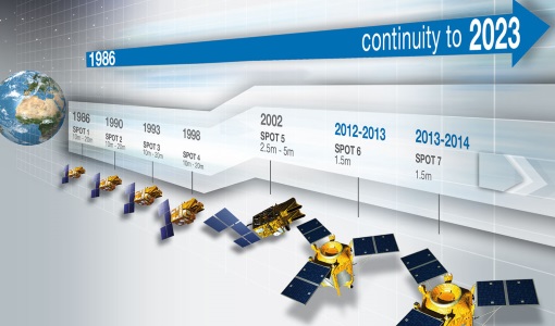
SPOT
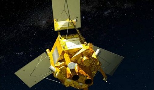
The SPOT (from French "Satellite pour l'Observation de la Terre") series of missions has been supplying high-resolution, wide-area optical imagery since 1986.
Mission - Meteorological Missions
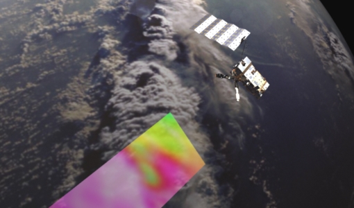
MetOp
MetOp is a mission dedicated to improving weather forecasts and monitoring Earth's climate.
Mission - Heritage Missions
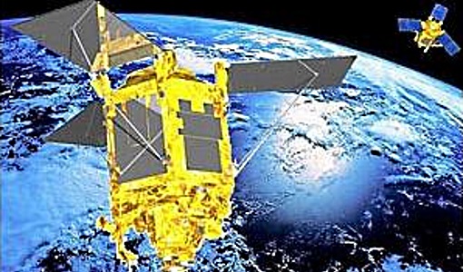
SPOT 7
SPOT 7 (also known as Azersky), like all of the other SPOT missions, was aimed at supplying high-resolution, wide-area optical imagery.
Mission - Third Party Missions
SPOT 6
SPOT 6, like all the SPOT missions, is aimed at supplying high-resolution, wide-area optical imagery.
Event - Training
Advanced Training Course in Land Remote Sensing 2012
The 2012 advanced training course focused on land remote sensing theory and applications.
Event - Training
3rd Advanced Training Course on Land Remote Sensing 2011
This 2011 advanced ESA training course focused on land remote sensing theory and applications.
Document - General Reference
MetOp-Monitoring-the-Weather-from-Polar-Orbit.pdf
This brochure describes in details the MetOp mission, the satellite and its instruments.
Document - General Reference
MetOp-A-Truly-Global-Picture-About-MetOp-mission-and-its-instruments.pdf
This flyer describes the MetOp mission and its instruments.


