

Featured
About SPOT Series
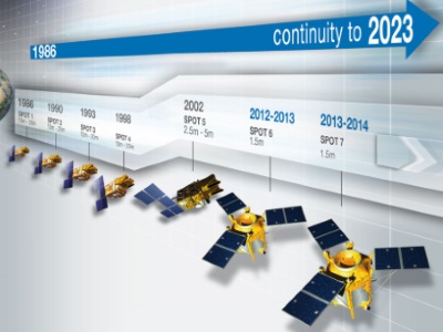
The SPOT (from French "Satellite pour l'Observation de la Terre") series has been supplying high-resolution, wide-area optical imagery since 1986. Conceived by the French National Centre for Space Studies (CNES), five satellites were launched between 1986 and 2015, and in revealing Earth’s surface in detail they led to new applications in mapping, vegetation monitoring, land use and land cover, and the impacts of natural disasters.
The latest satellites in the series, SPOT 6 and SPOT 7, are commercial satellites owned by Airbus Defence and Space, and assure data continuity through to 2024.
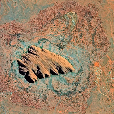
All of the SPOT satellites provide imagery in panchromatic and multispectral bands with a swath of 60 km.
The SPOT series is part of ESA's Third Party Missions Programme, in which ESA has an agreement with Airbus Defence and Space to distribute data products from the mission.
SPOT Series Objectives
The goal of the SPOT series is to improve the knowledge and management of Earth by exploring the planet's resources, detecting and forecasting phenomena involving climatology and oceanography, and monitoring human activities and natural phenomena.
SPOT Series Missions
find out more
find out more
find out more
find out more
find out more
find out more
find out more