- All Categories (23470)
- Data (24)
- News (100)
- Missions (1)
- Events (8)
- Tools (12)
- Activities (4)
- Campaigns (6)
- Documents (23315)
DATA
Discover and download the Earth observation data you need from the broad catalogue of missions the European Space Agency operate and support.
Data - Fast Registration with immediate access (Open)

ERS PRARE Precise Orbit Product (ERS.ORB.POD/ERS.ORB/PRC)
The precise orbit results from a data reduction process in which all available tracking data (Single-Lens Reflex, radar altimeter crossovers, PRARE range and Doppler data) and most accurate correction, transformation and dynamical models are taken into account and in which high level numerical procedures are applied. These orbits are "optimal" achievable representations of the real orbital motion under the circumstances of tracking situation and the "state of the art" model situation. The precise orbit product for the ERS satellites are the satellite ephemeris (position and velocity vector) including time tag, given in a well-defined reference frame, together with the nominal satellite attitude information and a radial orbit correction. Several orbit solutions are currently distributed: A new set of ORB POD (Precise Orbit Determination - REAPER v2) computed with the most updated model standards for the complete ERS-1 and ERS-2 mission. A previous set of ORB POD (REAPER v1) data already available on the ESA dissemination site since 2014, covering the ERS-1 full mission and the ERS-2 mission up to July 2003. ORB PRC which is the original Precise Orbit dataset computed during the ERS mission operations for ERS-1 and ERS-2. In the new POD dataset (REAPER v2) for the ERS-1 and ERS-2 missions, two different orbit solutions are provided together with the combined solution to be used for processing of the radar altimeter measurements and the determination of geodetic/geophysical products: those computed by DEOS (Delft Institute of Earth Observation and Space Systems), and those generated by ESOC (European Space Operations Centre) using different software (GEODYN and NAPEOS respectively). Careful evaluation of the various solutions of REAPER v2 has shown that the DEOS solution for both ERS-1 and ERS-2 has the best performance and is recommended to be used as reference. See the ERS Orbit Validation Report. For the previous version of the POD data set (REAPER v1), with ERS-2 mission data only up to 2003, three different orbit solutions together with the combined solution are available. These precise orbits for ERS-1 and ERS-2 have been computed at DEOS, ESOC, and GFZ (Deutschen GeoForschungsZentrums) using different software and different altimeter databases. Combined solutions have been created using three individual solutions for each satellite. All orbits were derived using consistent models in the same LPOD2005 terrestrial reference frame. These new orbit solutions show notable improvement with respect to DGME04 orbits (Scharroo and Visser, 1998). Thus, RMS crossover differences of new orbits improved by 4-9 mm. Careful evaluation of the various solutions has shown that the combined solution for both ERS-1 and ERS-2 has the best performance. All POD orbit files (REAPER v1/v2) are available in SP3c format.
Data - Campaigns (Open)
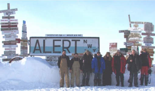
CryoVExGround 2011
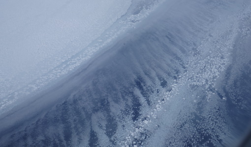
The aims of the CryoVEx 2011 experiment, operating out of Alert base, was to study the snow and ice characteristics of Arctic sea ice and its snow cover during winter.
Data - Campaigns (Open)
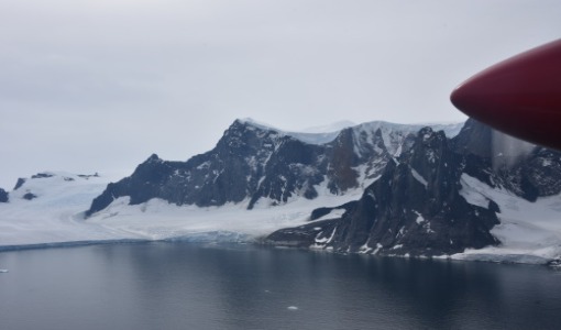
CryoVExAnt 2014/2015
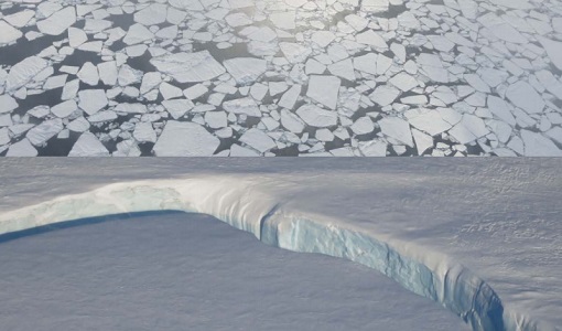
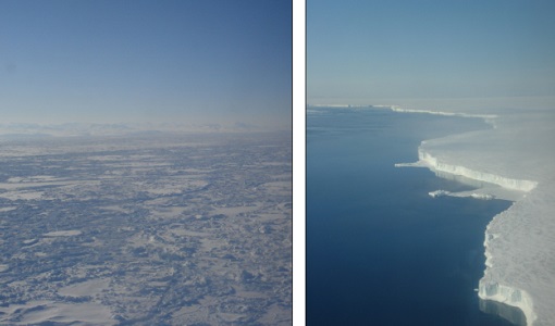
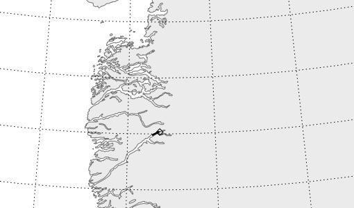
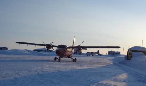
The aim of CryoVEx Ant 2014 to 2015 was to perform altimeter measurements at a designated validation site in the vicinity of the Schirmacher Oasis, near Kohnen and Neumayer as well as in the Pine Island Glacier drainage basin.
Data - Campaigns (Open)

CryoVExAnt 2010/2011
The CryoVEx 2010/2011 Antartic campaign was carried out in Dronning Maud Land from 11 November 2010 to 20 February 2011.
Data - Campaigns (Open)
CryoVExAnt 2008/2009
The key objective of the CryoSat Validation Experiment Antarctica (CryoVExAnt) campaign is a better approximation of the error range of the elevation obtained from SAR-processed altimetric radar returns and its sensitivity to surface roughness.
Data - Campaigns (Open)
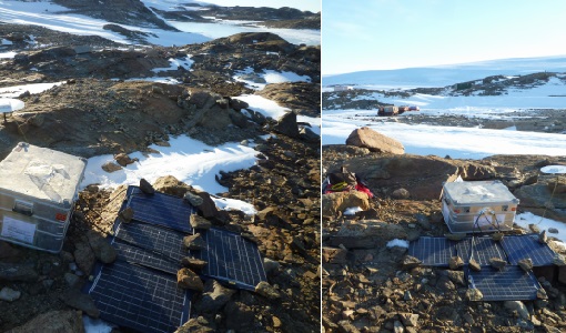
CryoVEx/KAREN Antarctica 2017/18
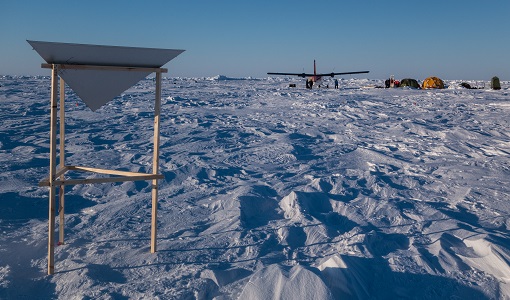
ESA’s CryoVEx/Karen 2017‐18 campaign took place in Antarctica in from Dec 2017 to Jan 2018. The campaign was composed of an airborne and in‐situ campaign and acquired extensive data sets of scanning lidar, Ku‐ and Ka‐band nadir‐looking radar, and auxiliary imagery for validation of the ESA CryoSat‐2 satellite (Ku‐band radar altimetry) and the French‐Indian AltiKa mission (Ka‐band radar altimetry).
Data - Campaigns (Open)
CryoVEx/ICESat-2 Spring 2019
The ESA Spring CryoVEx/ICESat-2 campaign 2019 was the first CryoVEx campaign since the launch of NASA ICESat-2 in September 2018, and aimed at cross-validating ESA CryoSat-2 and NASA ICESat-2 missions over sea ice and land ice in the Arctic.
Data - Campaigns (Open)
CryoVEx KAREN 2017
The CryoVEx-KAREN 2017 Campaign in the Arctic had the goal to collect unique measurements to help us better understand how sea ice is changing.
Data - Campaigns (Open)
CryoVEx KAREN 2016 Fall
The CryoVEx-KAREN 2016 Fall Campaign in Ilulissat, Greenland had the goal to collect unique measurements to help us better understand how snow and ice on the Greenland ice sheet is changing over time, and help ESA design future space missions to monitor the changing climate in our polar regions.
Data - Campaigns (Open)
CryoVEx ICESat-2 Summer 2019
The ESA CryoVEx/ICESat‐2 summer campaign 2019 is an add‐on to the campaign carried out in the spring 2019, which did not cover all the flights that were planned due to weather obstacles.
Data - Campaigns (Open)
CryoVEx ASIRAS 2014
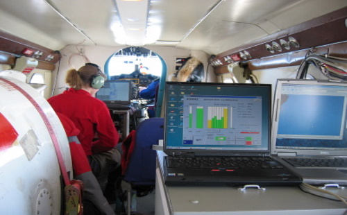
The CryoVEx 2014 airborne campaign was conducted as two separate operational periods. The sea ice activities covering large parts of the western Arctic Ocean were planned to take place early in the season to make sure the weather was stable.
Data - Campaigns (Open)
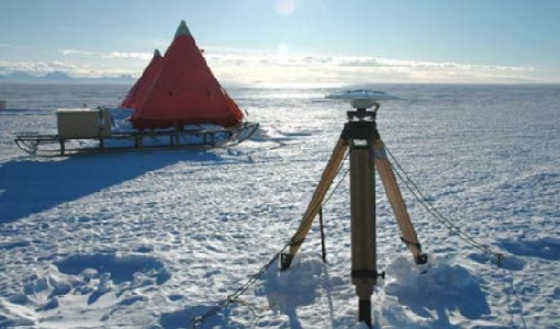
CryoVEx AEM
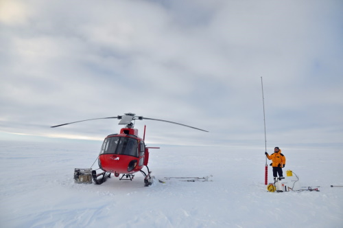
CryoVEX 2014 performed measurements over the Beaufort Sea and Arctic Ocean north of Canada (Ellesmere Island) and Greenland. Airborne surveys and ground‐based snow and ice measurements were performed.
Data - Campaigns (Open)
CryoVEx 2016 Spring
The CryoVEx 2016 campaign was primarily carried out to follow up on a recommendation given within ESA CryoVal Land Ice project (2014-2015), where it was found that the traditional under-flights of the CryoSat-2 satellite were inadequate.
Data - Campaigns (Open)
CryoVEx 2012
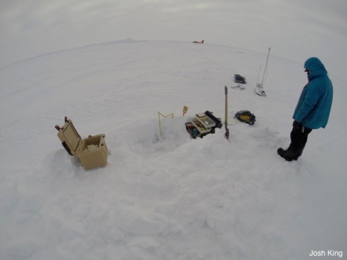
In continuation of the CryoVEx campaign in 2011, ESA initiated a second Arctic post-launch campaign in 2012 to further calibrate and validate CryoSat data products.
Data - Campaigns (Open)
CryoVEx 2011
The aims of the CryoSat Validation Experiment (CryoVEx) 2011 was to study the snow and ice characteristics of Arctic sea ice and its snow cover.
Data - Campaigns (Open)
CryoVEx 2010
CryoVEx 2010 was the first CryoSat post-launch campaign to take place. It was set up as a test campaign for the upgraded ASIRAS system.
Data - Campaigns (Open)
CryoVEx 2008
The ESA CryoSat Validation Experiment, CryoVEx 2008 was carried out in April and May 2008.
Data - Campaigns (Open)
CryoVEx 2007
Following the successful 2004, 2005 and 2006 campaigns, the CryoVEx2007 campaign took place in Svalbard from 15 to 25 April 2007.
Data - Campaigns (Open)
CryoVEx 2006
CryoSat Validation Experiment (CryoVEx) 2006 was carried out between 18 April and 18 May 2006 in the Arctic.
Data - Campaigns (Open)
CryoVEx 2005
CryoVEx 2005 was the third combined airborne and surface campaign for the preparation of the CryoSat mission. It followed the 2004 campaign, which first utilised the new ASIRAS radar.