- Campaigns
- CryoVEx 2005
CryoVEx 2005
Overview
What was the purpose of CryoVEx 2005?
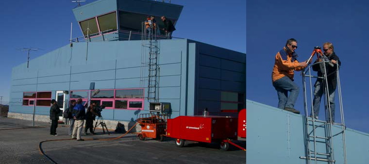
CryoVEx 2005 was the third combined airborne and surface campaign for the preparation of the CryoSat mission. It followed the 2004 campaign, which first utilised the new ASIRAS radar. ASIRAS was designed to simulate the SIRAL radar altimeter onboard CryoSat, to investigate the nature of CryoSat waveforms and their dependence on different surface properties. Data were gathered together with airborne nadir looking and laser and laser scanner measurements as well as video recordings.
CryoVEx 2005 was performed over the sea ice of the Bay of Bothnia (BoB). In addition, in March 2005 ASIRAS was operated in the Low Altitude Mode (LAM), which allowed measurements at flight altitudes below 1100 m to obtain simultaneous observations with range-limited laser scanners.
Airborne measurements during 2005 were carried out by AWI, DLR, Optimare and RST. Simultaneous ground observations were performed by the international ESA CVRT groups.
What was the outcome of CryoVEx 2005?
During BoB 2005 the LAM mode was used for the first time in a field campaign. Therefore, the principal task was to prove the applicability of the instrument.
The main challenge the team encountered was with the retracker used on the aircraft. The deviations caused by aircraft roll prevented accurate comparisons of laser and radar surface elevation data over sea ice during the campaign. This will continue to be a challenge for future campaigns acquiring LAM data, until a less roll dependent retracker is developed. If the problem is solved, the comparisons made with the digital elevation models show that the retrieval of detailed surface elevation profiles of sea ice is absolutely feasible in low altitude mode.
The CryoVEx 2005 team recommended that in future campaigns, aircraft manoeuvres are reduced to an absolute minimum close to sites of great scientific interest. In addition, the cause of the offset in surface elevation between radar and laser should be identified, either in hardware or software, and should be considered with the ASIRAS processing software for processing convenience.
Download CryoVEx 2005 final report
| Data Coverage (Year) | 2005 |
| Geographic Site | Bay of Bothnia (BoB) |
| Field of Application | Sea ice. Radar and laser altimetry |
Digital Object Identifier: European Space Agency, CryoVEx 2005, https://doi.org/10.5270/ESA-0c11662
Data
The campaign data is available online via FTPS upon submission of a data access request. An active EO Sign In account is required to submit the request.
The data can be downloaded via an FTP client (e.g., FileZilla or WinSCP) using the option "Implicit FTP over TLS".
Data from the campaign are also available to download from the CS2EO portal.
For further information about the EO Sign In Service you can visit TellUs.
Should you need support please contact EOHelp.