- Campaigns
- CryoVEx/ICESat-2 Spring 2019
CryoVEx/ICESat-2 Spring 2019
Overview
What was the purpose of CryoVEx 2019?
The ESA Spring CryoVEx/ICESat-2 campaign 2019 was the first CryoVEx campaign since the launch of NASA ICESat-2 in September 2018, and aimed at cross-validating the ESA CryoSat-2 and NASA ICESat-2 missions over sea ice and land ice in the Arctic.
The campaign also extended the observations of dual-frequency (Ka/Ku-band) airborne observations, first flown in CryoVEx/KAREN 2016 fall campaign, to exploit the concept for future polar satellite missions.
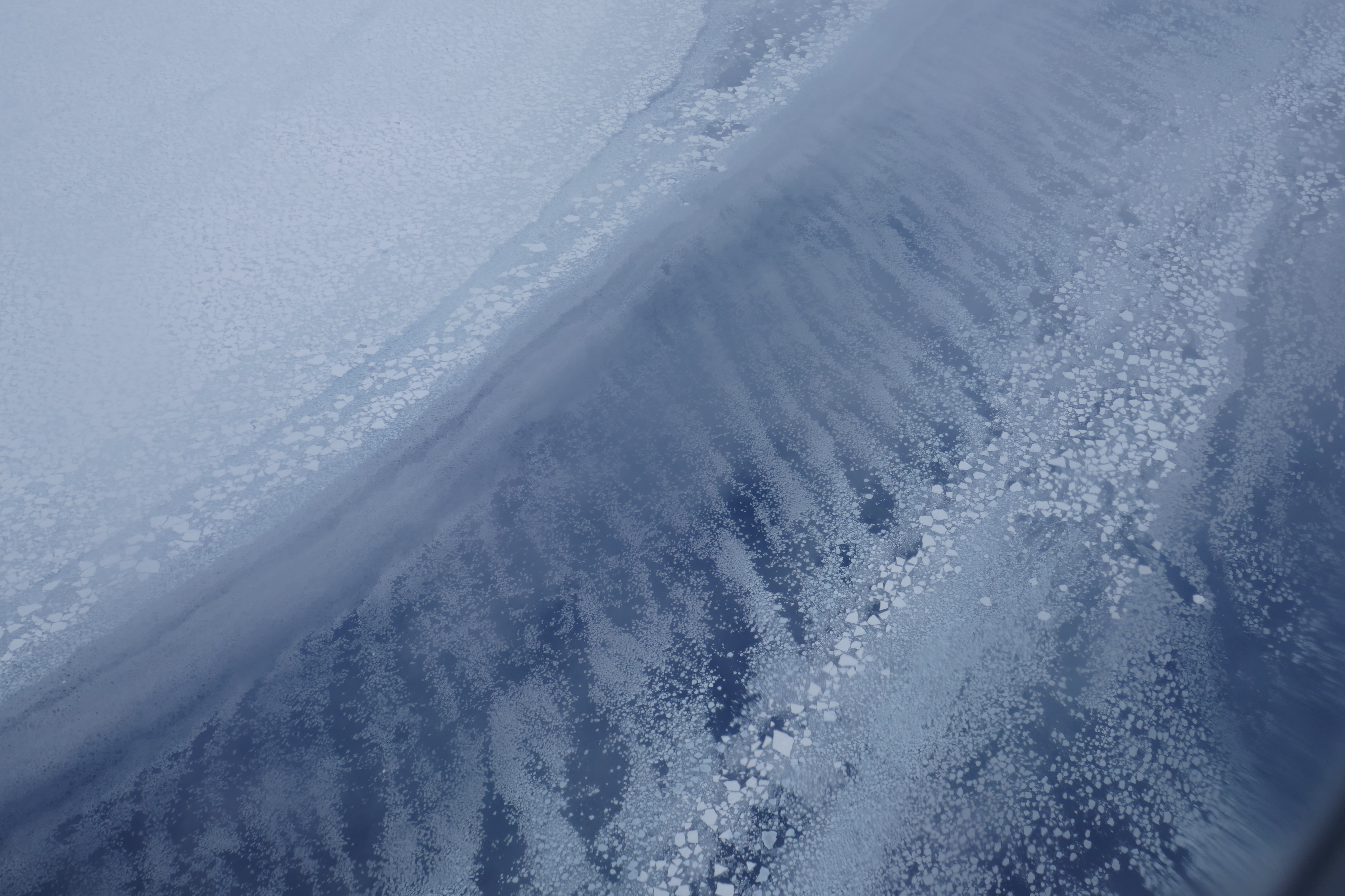
The airborne observations were coordinated with largescale in situ work along the EGIG line of the Greenland Ice Sheet. The campaign involved operations with ESA's Ku-band radar (ASIRAS), Ka-band radar (KAREN) and laser scanner. Three sea ice flights were flown in the Arctic Ocean out of Station Nord including two near coincident underflights of ICESat-2 and one of CryoSat-2.
A direct underflight of CryoSat was flown in Baffin Bay on route from Thule AB to Ilulissat. Transit flights crossing the Greenland Ice Sheet provide crossovers of all altimeter missions (CryoSat, ICESat-2, Sentinel-3 and SARAL/AltiKa.
What was the outcome of CryoVEx 2019?
Post-processed ALS data showed high quality with low mean differences (< 9 cm) and standard deviations (7-11 cm) of crossovers over relatively flat surfaces, i.e. the Greenland Ice Sheet and landfast sea ice.
The intercomparison of differences between ALS and KAREN/ASIRAS over runways showed much larger variations in mean offsets (up to 65 cm) between different runway overflights, than observed in previous CryoVEx campaigns, however, consistent for KAREN/ASIRAS vs ALS comparisons. The standard deviations (4-8 cm) of the differences were within expected range.
First comparisons of CryoVEx ALS data and ICESat-2 freeboards in the Wandel Sea showed mean (mode) values of 0.51 m (0.62 m) and 0.52 m (0.58 m), respectively. As CryoVEx ALS and ICESat-2 freeboards are expected to sense the total freeboard (ice and snow) the results were very encouraging and within expected measurement uncertainties and can partly be due to the fact that the measurements were not obtained at the exact same time, due to different speeds of the satellite and aircraft and the drift of the sea ice.
CryoSat freeboards were obtained from an almost parallel track with mean (mode) values of 0.37 m (0.35 cm). This resulted in CryoSat having 15 (14) cm lower mean and 27 (23) cm lower modal value, when compared to ALS (ICESat-2), respectively.
The difference in modal values is more consistent with expected snow depths in the area, than the differences in mean values. The land ice ground team visited four field sites (T9, T12, T21 and T35) along the EGIG line in Greenland representing different snow conditions, namely the dry snow zone, the percolation zone, and the ablation zone. Corner reflectors were deployed at T21 to calibrate the airborne radars (KAREN and ASIRAS) penetration into the snow layer.
In addition, a combined dual-frequency radar system made by CReSIS, University of Kansas, was for the first time tested over the Greenland Ice Sheet to test its capabilities in firn.
First results from the ASIRAS airborne profile showed that the 2012 melt layer is associated with an anomalous high power, with an associated peak in power of 33% of the maximum power at 400 km along-track, higher than the peaks corresponding to the melt layers from 2013, 2014 and 2015, underlining the intensity of the melt season of 2012.
From the ASIRAS traced layers, the team discovered that at sites T21 and T35, the 2012 melt layer is buried at depths of 5.4 ± 0.2 and 4.3 ± 0.2 m, respectively. Test of the portable combined Ku/Ka-band CReSIS radar along a ~1 km long section at T21, showed that the Ka-band maps the internal reflecting horizons at 3 m below the surface very faintly, while the Ku-band signal maps the same interfaces that are sounded with the airborne system.
Download the CryoVEx 2019 Final Report
| Data Coverage (Year) | 2019 |
| Geographic Site | Arctic |
| Mission Instrument | ASIRAS, KAREN, ALS, CReSIS radar |
| Field of Application | Radar altimetry and laser |
| Data Size | 100 GB |
Digital Object Identifier: European Space Agency, 2022, CryoVEx/Icesat-2 Spring 2019 Campaign https://doi.org/10.5270/ESA-bde7d74
Data
The campaign data is available online via FTPS upon submission of a data access request. An active EO Sign In account is required to submit the request.
The data can be downloaded via an FTP client (e.g., FileZilla or WinSCP) using the option "Implicit FTP over TLS".
Data from the campaign are also available to download from the CS2EO portal.
For further information about the EO Sign In Service you can visit TellUs
Should you need support please contact EOHelp