- Campaigns
- CryoVEx 2010
CryoVEx 2010
Overview
What was the purpose of CryoVEx 2010?
CryoVEx 2010 was the first CryoSat post-launch campaign to take place. It was set up as a test campaign for the upgraded ASIRAS system.
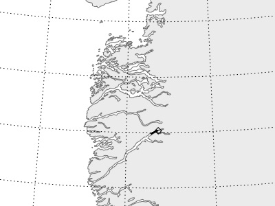
The key objectives of the CryoVEx campaigns was a better approximation of the error range of the elevation obtained from SAR-processed altimetric radar returns and its sensitivity to surface roughness and surface type. Therefore, a combination of airborne SAR, laser scanner and to some stage precise kinematic GPS measurements were chosen to be the best opportunity to fulfill the scientific objectives. Furthermore, a specific setup of the survey, to measure a narrow grid, was chosen for the measurements around Neem.
What was the outcome of CryoVEx 2010?
In general, the airborne activities were very successful. All planned survey lines, including the repeat of EGIG line and the survey grid, were measured and some additional data was collected (e.g. flight line along a CryoSat-2 track).
Download the CryoVEx 2010 Final Report
| Data Coverage (Year) | 2010-2011 |
| Geographic Site | Arctic |
| Field of Application | Sea and land ice radar and laser altimetry |
Digital Object Identifier: https://doi.org/10.5270/esa-ds8rvwn - CryoVEx 2010: "Test and CryoVEx 2010 Data Acquisition and Final Processing Report".
Data
The campaign data is available online via FTPS upon submission of a data access request. An active EO Sign In account is required to submit the request.
The data can be downloaded via an FTP client (e.g., FileZilla or WinSCP) using the option "Implicit FTP over TLS".
Data from the campaign are also available to download from the CS2EO portal.
For further information about the EO Sign In Service you can visit TellUs.
Should you need support please contact EOHelp.