- Campaigns
- CryoVEx 2006
CryoVEx 2006
Overview
What was the purpose of CryoVEx 2006?
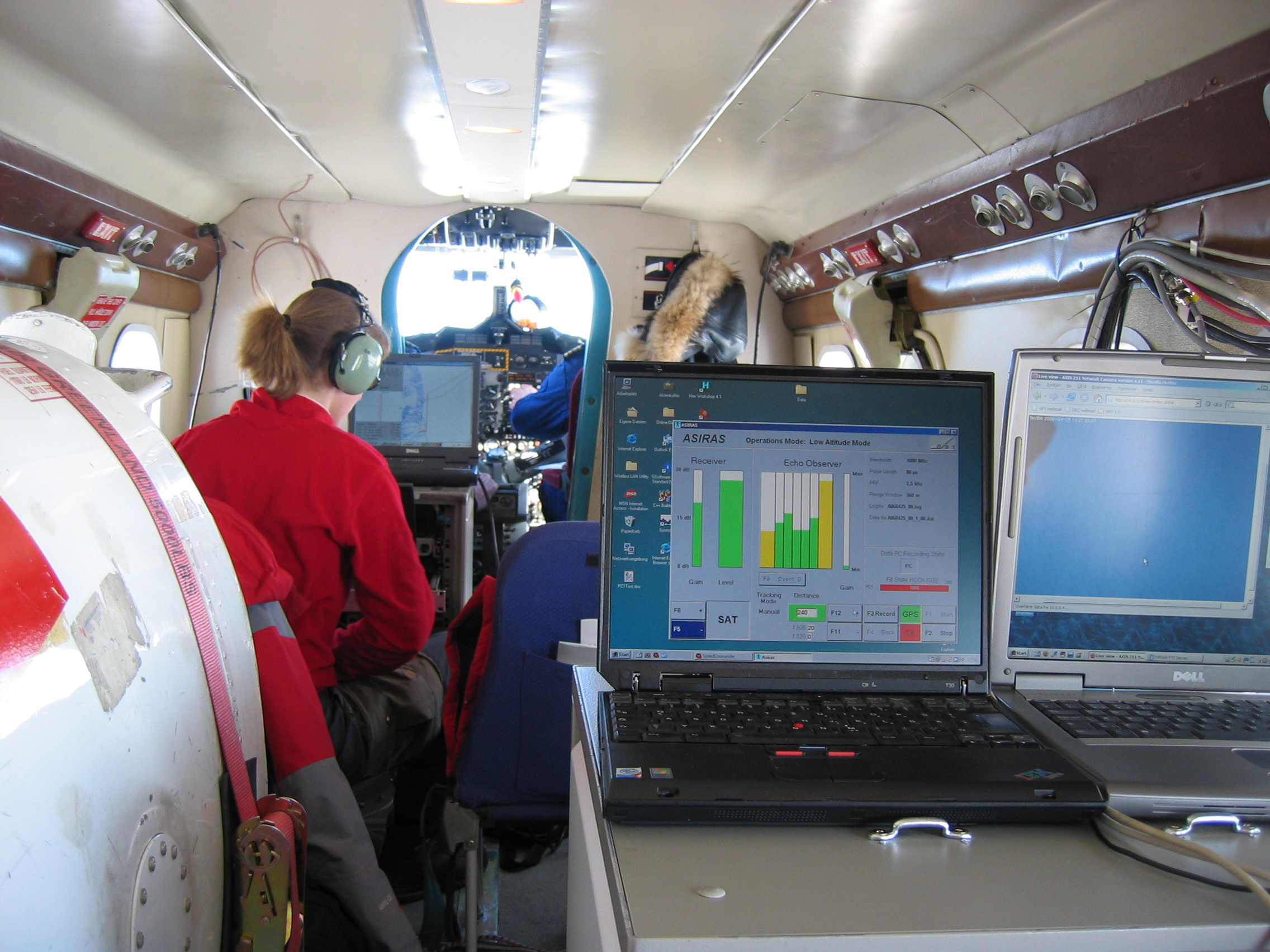
CryoSat Validation Experiment (CryoVEx) 2006 was carried out between 18 April and 18 May 2006 in the Arctic. The main purpose was to collect coincident ASIRAS and laser data at validation sites placed on land ice and sea ice in the Arctic area and offer logistic support to ground teams. The data collected is important to the understanding of CryoSat radar signals.
What was the outcome of CryoVEx 2006?
The airborne part of the CryoVEx 2006 campaign was successfully carried out by DNSC with a total of 127 hours flown, acquiring laser scanner data for most of this duration.
Preliminary analysis of the datasets showed good results, which will be important for understanding CryoSat radar signals. A number of independent in-situ data on ice thickness and snow depth were collected during CryoVEx 2006 on two large ice floes north of Alert, Canada; additional scientific activities included flights with the AWI EM-system, which provided an independent estimate of sea ice thickness.
Download CryoVEx 2006 final report
| Data Coverage (Year) | 2006 |
| Geographic Site | Arctic |
| Field of Application | Land ice. Radar and laser altimetry |
Digital Object Identifier: European Space Agency, CryoVEx 2006, https://doi.org/10.5270/ESA-2742e66
Data
The campaign data is available online via FTPS upon submission of a data access request. An active EO Sign In account is required to submit the request.
The data can be downloaded via an FTP client (e.g., FileZilla or WinSCP) using the option "Implicit FTP over TLS".
Data from the campaign are also available to download from the CS2EO portal.
For further information about the EO Sign In Service you can visit TellUs.
Should you need support please contact EOHelp.