Minimize Sri Lanka, 26 December 2004

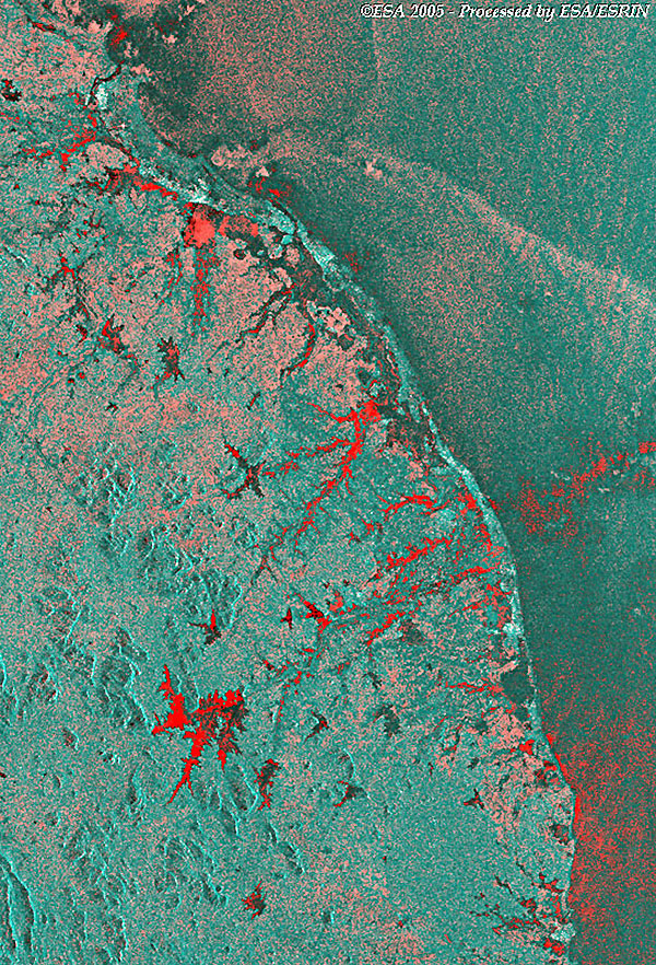
A collection of Envisat MERIS/ASAR Full Resolution images acquired during the Earthquake/Tsunami event in Sri Lanka.

Event Timeline
Sri Lanka
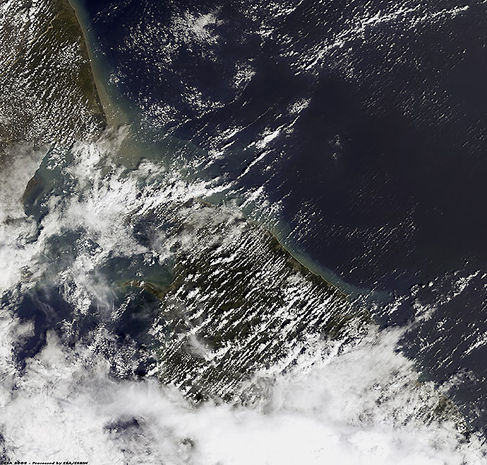
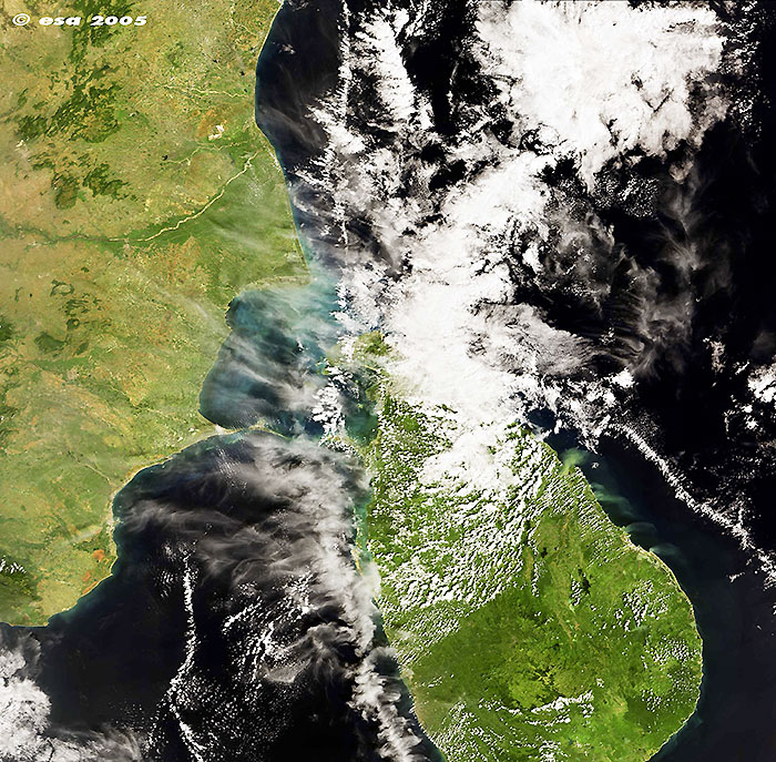
These Envisat MERIS/ASAR Full Resolution images were acquired on 28 December 2004 over the Sri Lankan and Indian Coasts after the Tsunami event.
View large image [JPG, 177 KB] and corresponding swath [GIF]
Technical Information
Satellite: Envisat
Instrument: MEdium Resolution Imaging Spectrometer (MERIS)
Date of Acquisition: 28 December 2004
Orbit number: 14788
View large image [JPG, 607 KB]
Technical Information
Satellite: Envisat
Instrument: MEdium Resolution Imaging Spectrometer (MERIS)
Date of Acquisition: 22 December 2004
Orbit number: 14702
Area Map
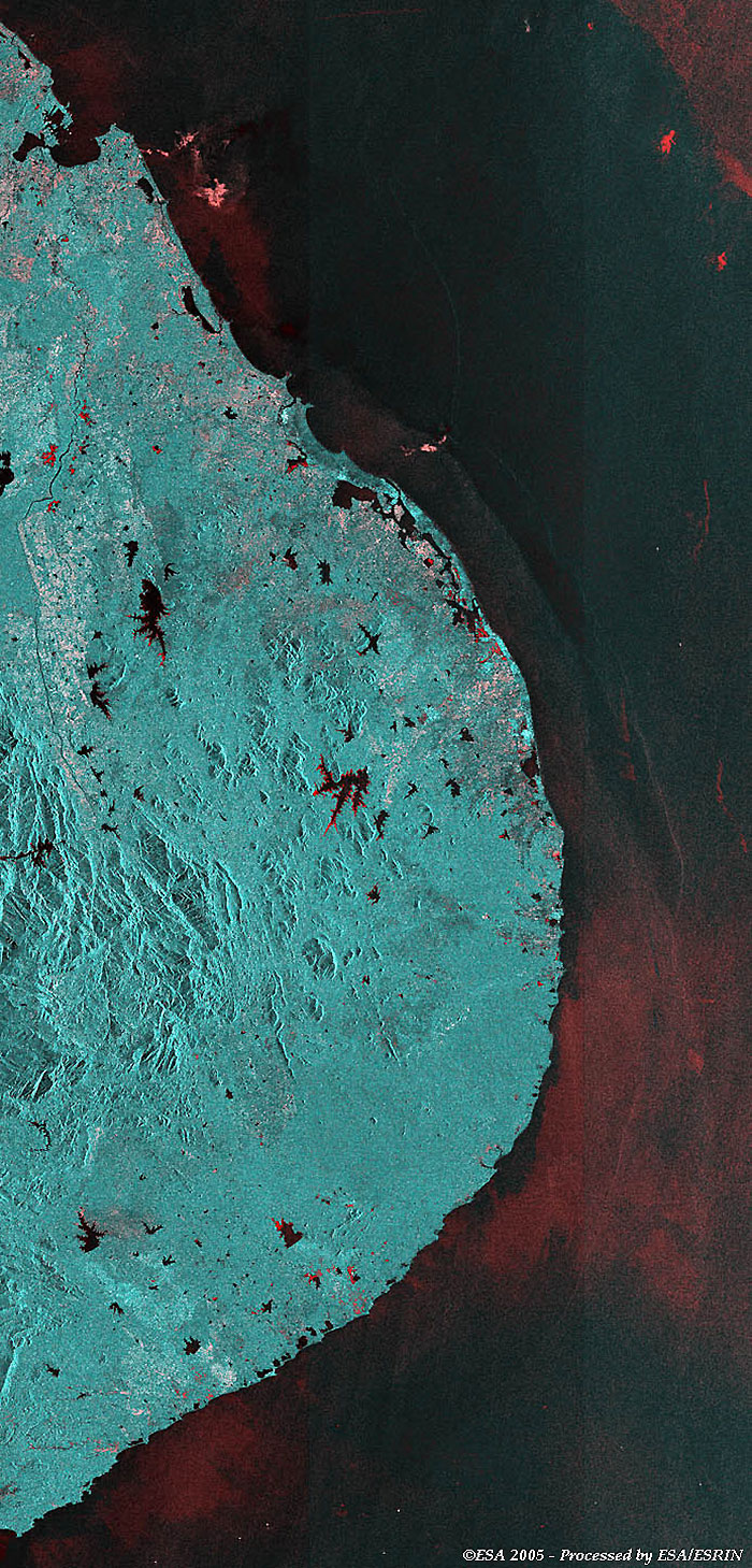
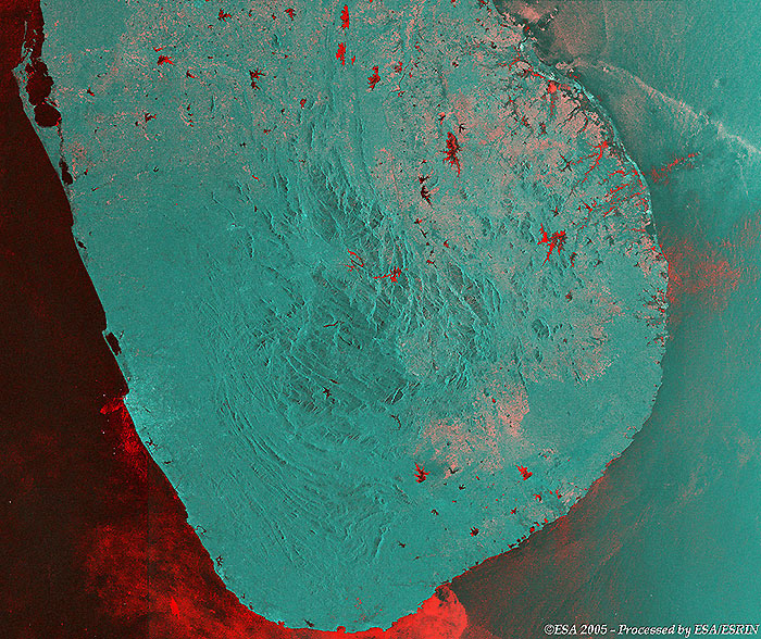
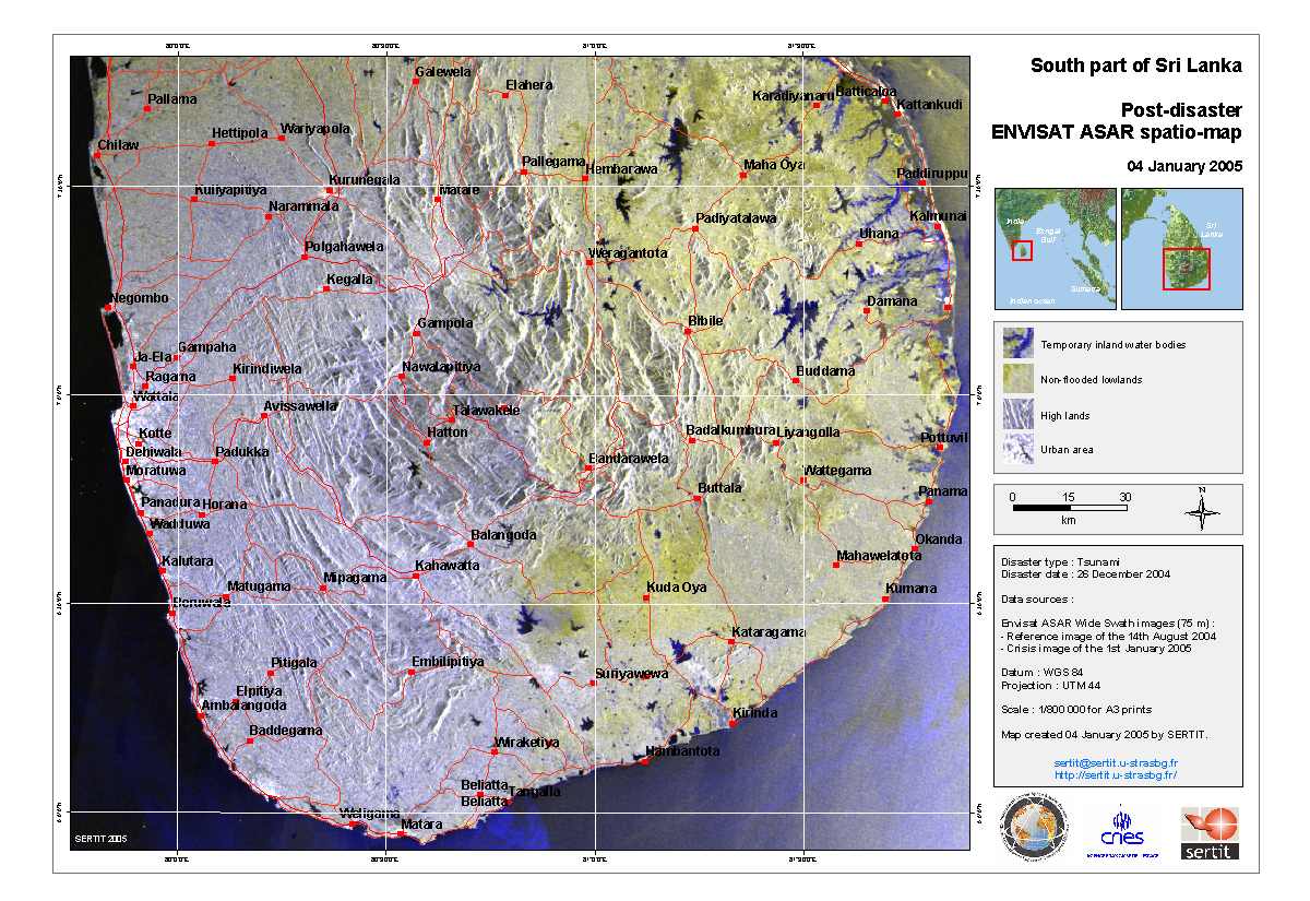
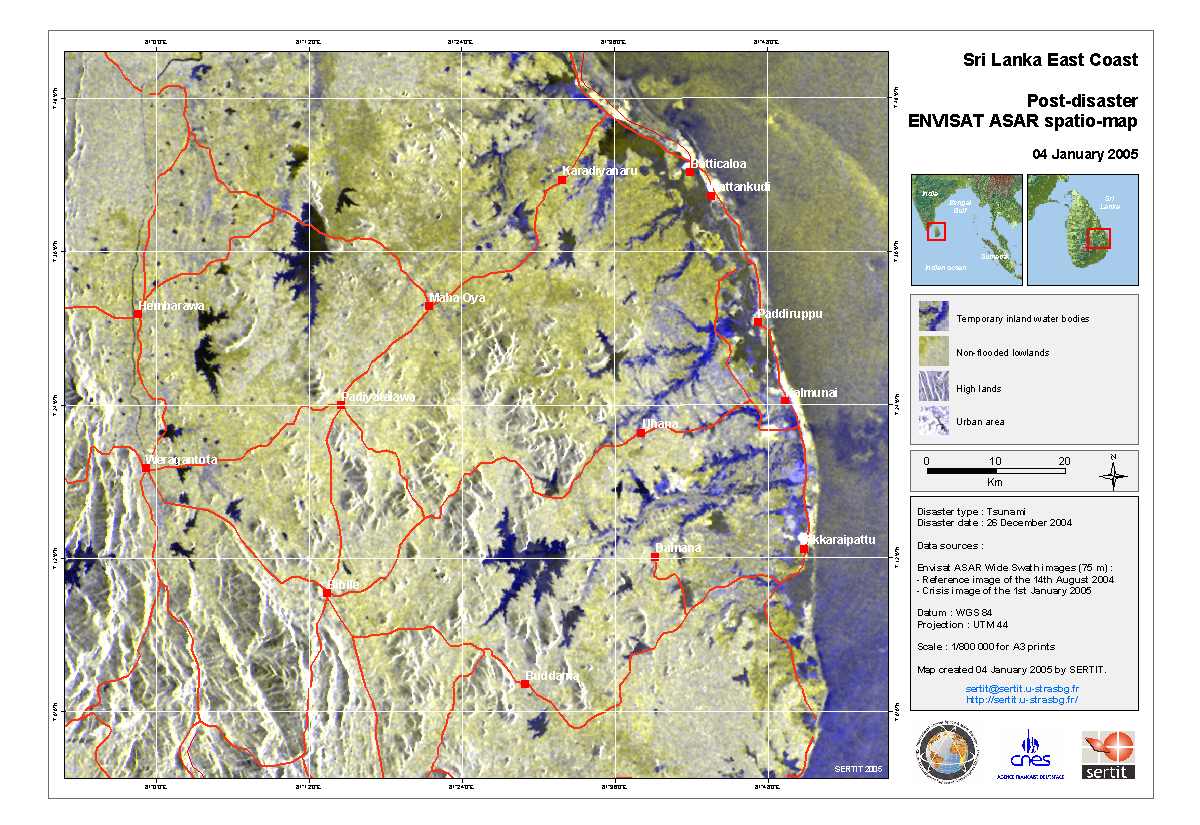
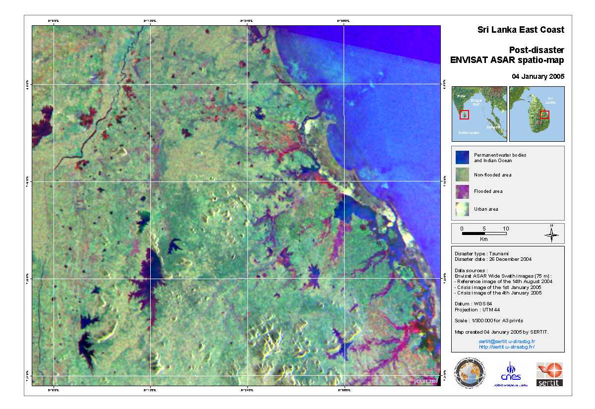
Envisat ASAR Wide Swath multi-temporal images
View large image [JPG, 494 KB]
Technical Information
Satellite: Envisat
Instrument: Advanced Synthetic Aperture Radar (ASAR)
Date of Acquisition: 28 April 2004 - 29 December 2004
Orbit numbers: 11295 - 14802
Download  
Technical Information
Satellite: Envisat
Instrument: Advanced Synthetic Aperture Radar (ASAR)
Date of Acquisition: 14 August 2004 - 01 January 2005
Orbit numbers: 12841 - 14845
Detailed image
View large image [JPG, 592 KB]
SERTIT maps

These maps were produced by the SERTIT Rapid Mapping service for the International Charter: Space and Major Disasters. Utilising Envisat ASAR imagery they provide an assessment of the situation in Sri Lanka following the tsunami.

View large image [JPG, 162 KB]
View large image [JPG, 152 KB]
View large image [JPG, 121 KB]

Back to top