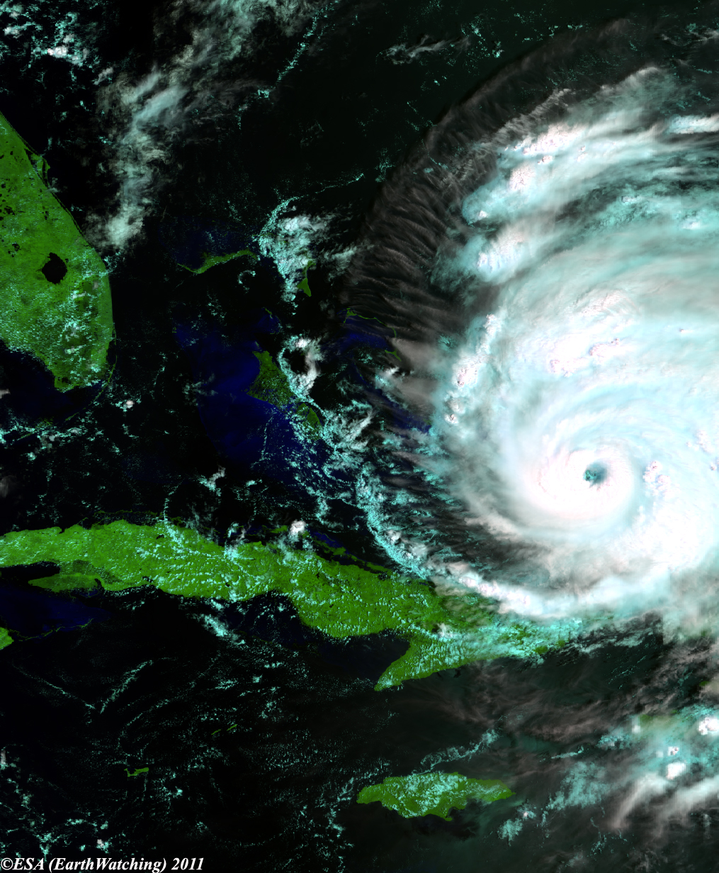
Bahamas, Aug 25, 2011 (From AFP) - Hurricane Irene pounded the Bahamas Thursday, punishing the nation of small islands with heavy rain and powerful wind as it barrels toward the populous US east coast.Irene is a category three hurricane on the five-level Saffir-Simpson scale, and is forecast to strengthen to a category four storm with winds of 135 miles (217 kilometers) per hour by the time it reaches the US coast over the weekend. The US National Hurricane Center in Miami said the center of Irene, the first hurricane of the Atlantic storm season, was located at 0600 GMT about 165 kilometers east-southeast of Nassau, and some 1,225 kilometers (760 miles) south of Cape Hatteras, North Carolina. The storm was packing winds of 185 kilometers (115 miles) per hour, and was moving towards the north-west at 19 kilometers (12 miles) per hour. "On the forecast track, the core of the hurricane will move over the northwestern Bahamas (Thursday), and pass well offshore of the east coast of central and north Florida (late Thursday) and early Friday," the NHC said. US satellite images showed Irene churning north of Cuba's eastern Atlantic coastline. Meteorologists said its tropical force winds extended out some 255 miles (410 kilometers). In the Bahamas, a nation of 29 islands and hundreds of cays in the Atlantic ocean just outside the Caribbean, residents were preparing for the worst.US forecasters said they expected the center of Irene to come close to Cape Hatteras, North Carolina early Saturday, then continue north over water toward the eastern edge of New York's Long Island on Sunday. Authorities began evacuating tourists from North Carolina's popular Outer Banks beach resort early Wednesday and ordered a mandatory evacuation of the Ocracoke and Hatteras barrier islands. Up to 12 inches (30 centimeters) of rainfall were expected in parts of Bahamas and Turks and Caicos, with a "dangerous" storm surge up to 11 feet (3.3 meters) on some islands.
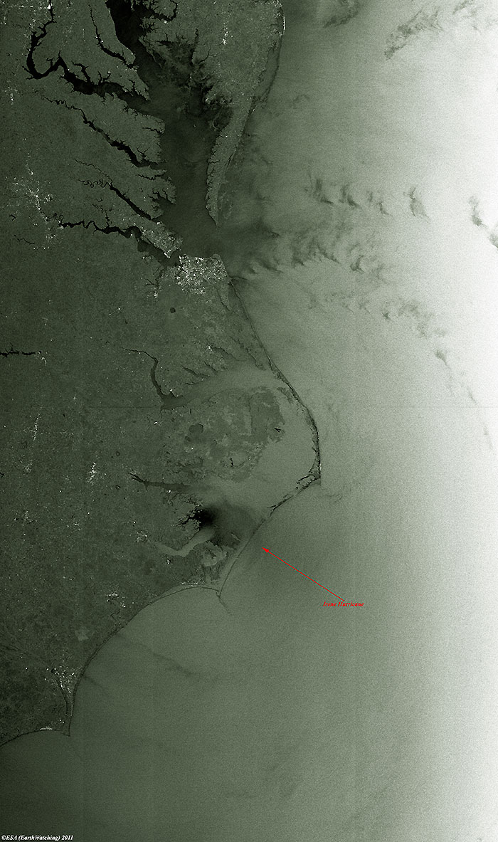
The hurricane is visible in the centre of this image, as it touched the coast at Cape Lookout, with the eye in the Pamlico Sound.
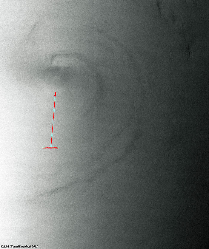
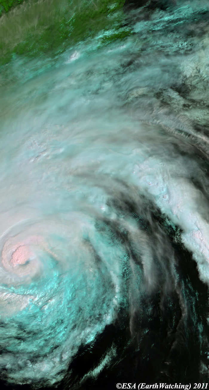
This image below shows the eye of the hurricane.
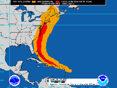
The Hurricane Irene making landfall on the U.S east coast.
Back to top
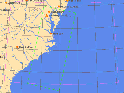
 Hurricane Irene - August 2011
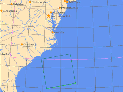