The rain forests in the Gulf of Guinea in Cameroon and Nigeria are a so-called hotspot of biodiversity. They house not only one of the oldest woodlands of the Earth but also a unique plant world: 620 species of trees and bushes, 500 kinds of herbs and lianas occur in the 1200 km² Korup National Park. Rare drills and chimpanzees live in the region, as well as forest elephants, gorillas and leopards. Many animal and plant species can be seen only here and nowhere else in the world.
But this could end soon, due to the threat posed by a new palm oil plantation that is planned for construction in these woodlands. To do so, approximately 70,000 hectares, an area the size of 100,000 football fields, of high conservation rainforest and small-scale farming landscape will have to be moved. A disaster for the jungles of Cameroon; even worse than the planned highway through the Serengeti. Under threat is Cameroon's coherent and unique ecosystem which, like in Tanzania, will be cut into two parts. No more sufficient exchanges of species will take place in a living environment carved up in such a way. Isolated groups would mark the definite decline for many unique animals and species of plants.
|
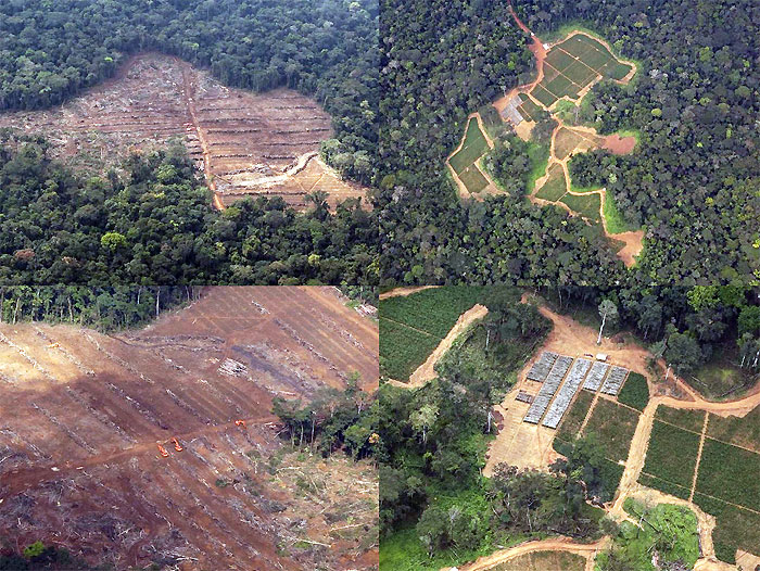
Examples of deforestation |
|
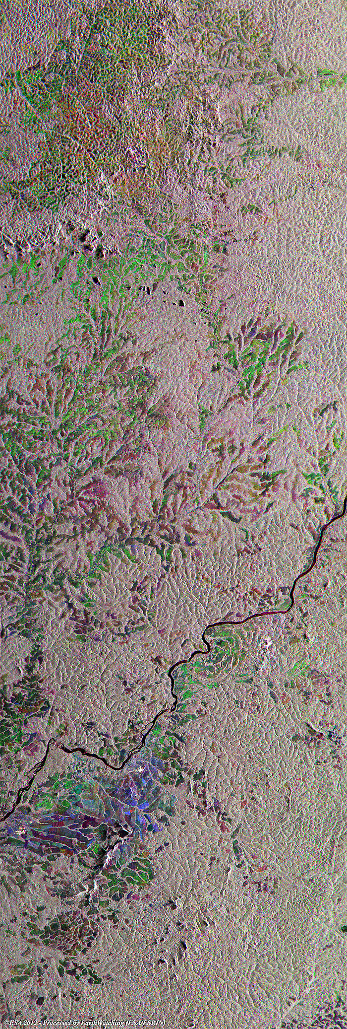
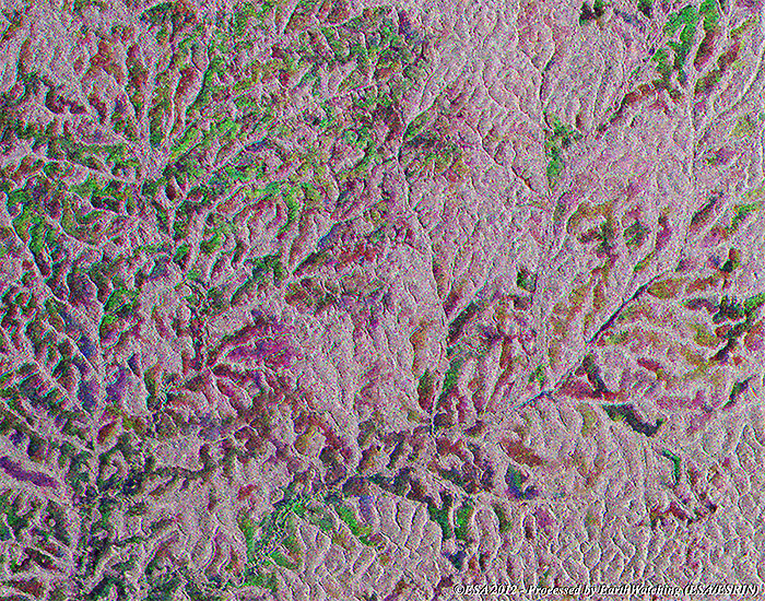
Cameroon deforestation (full area) and sub-definition areas |
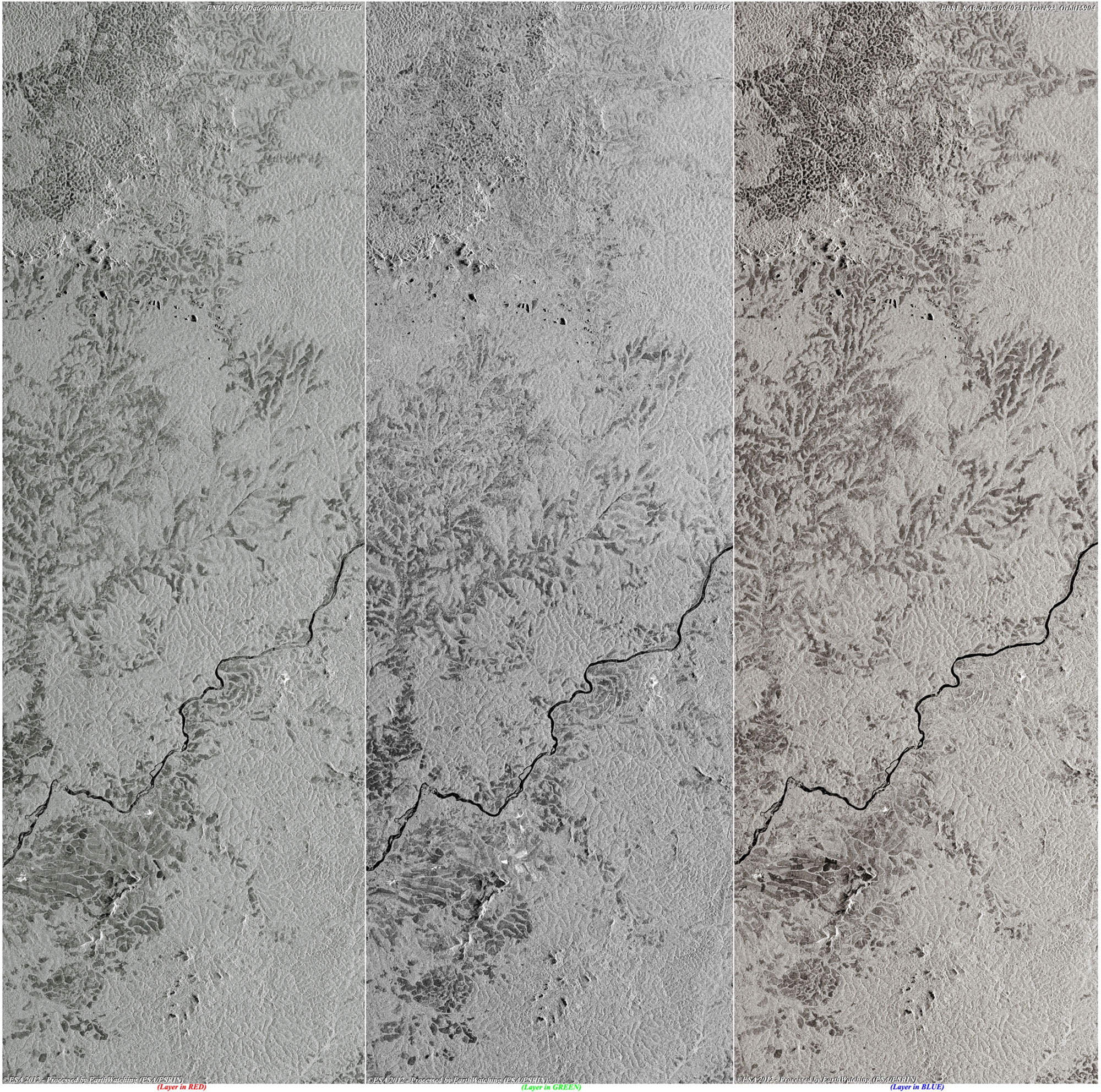
This image shows an area of tropical dry forest lying north east of Cameroon. The effects of deforestation in Cameroon; such as the erosion of agricultural lands, drying up water bodies during dry seasons, desertification, disappearance of plant and animal species, modifications of both local and regional climatic conditions and global warming through its effect on the global carbon cycle are likely to affect agricultural activities and economic growth. This multi-colour image shows the status of deforestation along Sanaga River where large areas of deforestation are identifiable with a merge of these three images acquired on different dates. The image shows in red (2008) a rainforest area where deforestation is still ongoing, while the areas in green and blue are the areas where deforestation started in 1994.
|
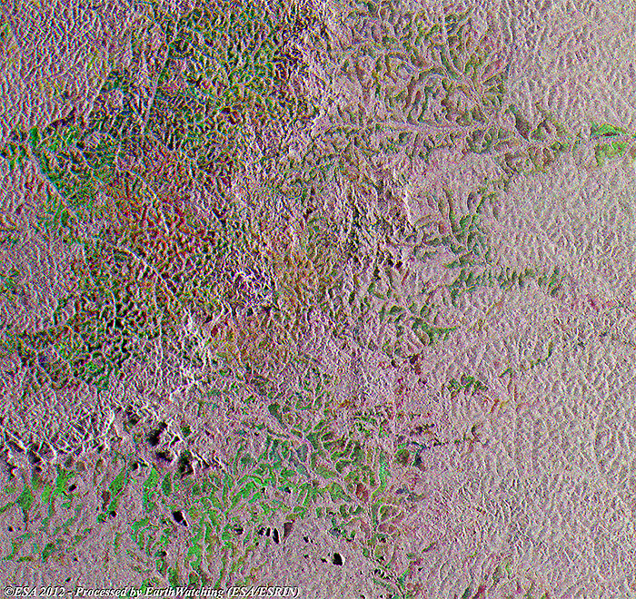
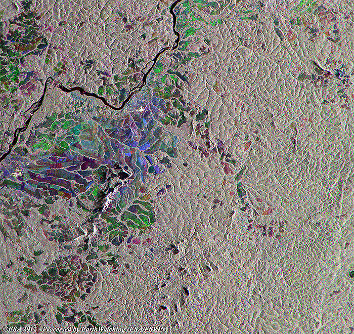
Full multi-temporal image - Area 1 |
|
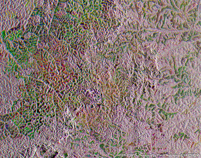
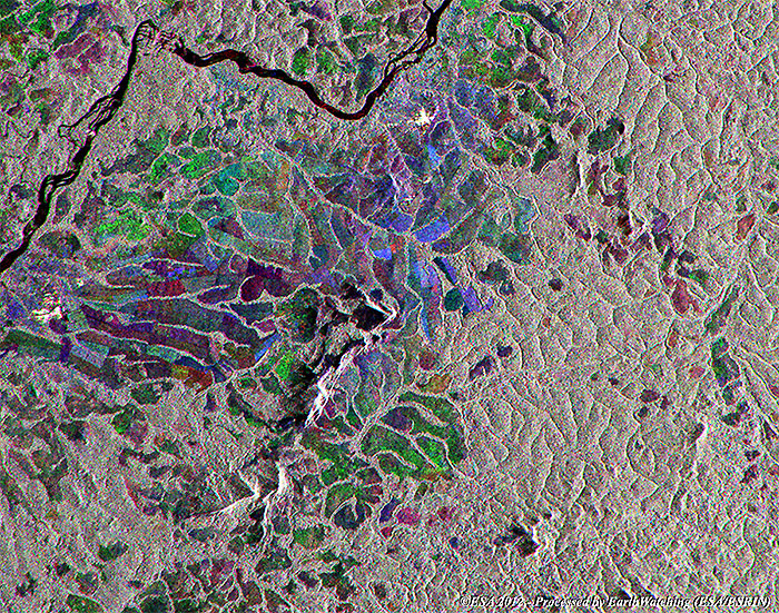
Full multi-temporal image - Area 2 |
|
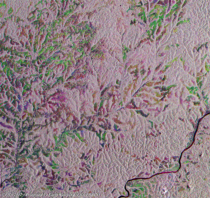
Full multi-temporal image - Area 3 |
|
Images used to create the multi-colour merge |
Back to top
 Browse SAR Events by Year
