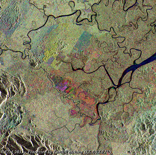
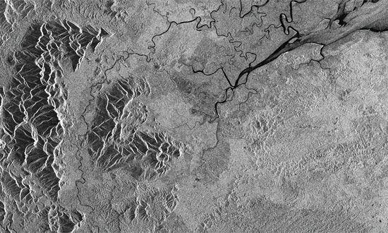
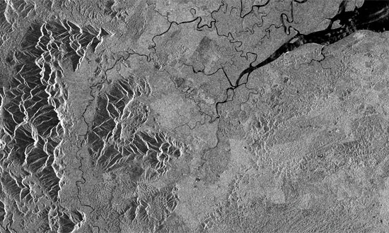
Borneo is one of the largest islands in the world, only Greenland and New Guinea have a greater land mass. The images featured in this article showcase Sabah State which is located in the northern part of the island.
The last few decades have seen significant change in this featured area, as deforestation has radically changed the landscape. The fastest rate of deforestation on the planet took place here, and much of this was carried out illegally. A combination of fires and logging have cleared large areas of rainforest to provide the world with more timber than anywhere else on earth.
The multitemporal images below have been created by merging three acquisitions from the ERS-2 and Envisat missions. To highlight the effects of deforestation the images are overlaid and merged in three colour bands, red (1998), green (2000) and blue (2004). The merge creates a multitemporal image which provides a visual aid to detect land use change. Deforestation can easily be identified in these images, even across a short time span of only six years.

|
Technical Information |
|
Product: |
Multi-temporal image |
|
Satellites: |
ERS-2 and Envisat |
|
Instruments: |
SAR and ASAR |
|
Date of Acquisition |
(Red) 11 Jul 1998, (Green) 22 Jan 2000, (Blue) 06 Mar 2004 |
|
Orbit number: |
16848, 24864, 10535 |
|
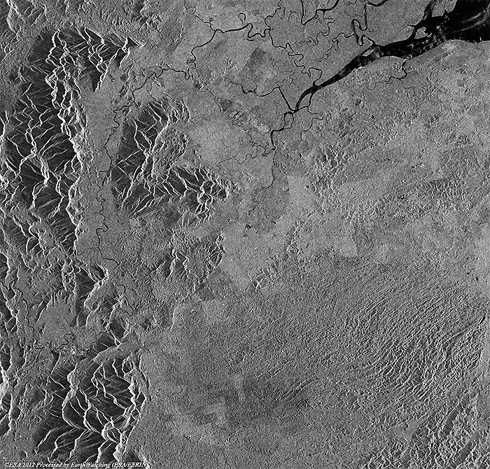
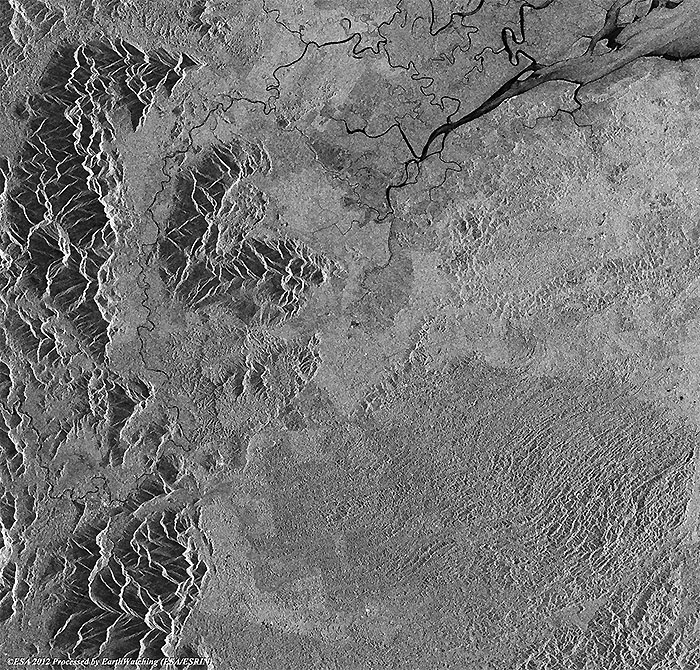
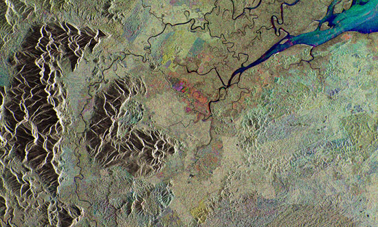
Images used to create the multitemporal image |
|
Technical Information |
|
Data Product: |
ASA_IMP_1P |
|
Satellite: |
Envisat |
|
Instrument: |
ASAR |
|
Date of Acquisition: |
06 Mar 2004 |
|
Orbit number: |
10535 |
|
Technical Information |
|
Data Product: |
SAR_IMP_1P |
|
Satellite: |
ERS-2 |
|
Instrument: |
SAR |
|
Date of Acquisition: |
11 Jul 1998 |
|
Orbit number: |
16848 |

|
Technical Information |
|
Data Product: |
SAR_IMP_1P |
|
Satellite: |
ERS-2 |
|
Instrument: |
SAR |
|
Date of Acquisition: |
22 Jan 2000 |
|
Orbit number: |
24864 |
Back To Top
 Browse SAR Events by Year