- All Categories (66291)
- Data (223)
- News (389)
- Missions (510)
- Events (142)
- Tools (27)
- Activities (43)
- Campaigns (65)
- Documents (64892)
DATA
Discover and download the Earth observation data you need from the broad catalogue of missions the European Space Agency operate and support.
Data - Project Proposal (Restrained)
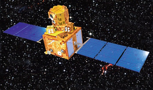
CartoSat-1 archive and Euro-Maps 3D Digital Surface Model
Euro-Maps 3D is a homogeneous, 5 m spaced digital surface model (DSM) semi-automatically derived from 2.5 m in-flight stereo
Data - Project Proposal (Restrained)
ResourceSat-1/IRS-P6 full archive
The products are available as part of the GAF Imagery products from the Indian missions: IRS-1C, IRS-1D, CartoSat-1 (IRS-P5
Data - Fast Registration with approval (Restrained)
European Cities: Cartosat-1 Euro-Maps 3D
cities are covered by this dataset; for each city you can find one or more Cartosat-1 ortho image products and one or more Euro-Maps
Data - Sample Data (Open)
IRS-P6 (ResourceSat-1) Sample Data
Download free IRS-P6 (ResourceSat-1) sample datasets to preview products available for this mission.
Data - EO Sign In Authentication (Open)
IRS-1C/1D European coverage
IRS-1C/1D dataset is composed of products generated by the Indian Remote Sensing (IRS) Satellites 1C/1D PAN sensor.
Data - Project Proposal (Restrained)
IRS-1C/1D Full archive
km) System or radiometrically corrected Ortho corrected (DN) Global archive PAN Panchromatic 5 70 x 70 X X 1996 – 2007 (IRS
Data - Sample Data (Open)
IRS-R2 (ResourceSat-2) Sample Data
Download free IRS-R2 (ResourceSat-2) sample datasets to preview products available for this mission.
Data - Sample Data (Open)
IRS-P5 (Cartosat-1) Sample Data
Download free IRS-P5 (Cartosat-1) sample datasets to preview products available for this mission.
Data - Project Proposal (Restrained)
ResourceSat-2 full archive and tasking
The products are available as part of the GAF Imagery products from the Indian missions: IRS-1C, IRS-1D, CartoSat-1 (IRS-P5
Data - Fast Registration with approval (Restrained)
Image 2006 European coverage
The Image 2006 collection is a SPOT-4, SPOT-5 and ResourceSat-1 (also known as IRS-P6) cloud free coverage over 38 European
Data - EO Sign In Authentication (Open)
MOS-1/1B ESA Orthorectified Map-oriented Products [MES_GEC_1P]
The ESA Orthorectified Map-oriented (Level 1) Products collection is composed of MOS-1/1B MESSR (Multi-spectral Electronic
Data - Fast Registration with approval (Restrained)
GEOSAT-1 and 2 ESA archive
GEOSAT-1 and 2 dataset is composed of products acquired by the GEOSAT-1 and GEOSAT-2 Spanish satellites.
Data - EO Sign In Authentication (Open)
MOS-1/1B ESA System Corrected Map-oriented Products [MES_GES_1P]
The ESA System Corrected Map-oriented (Level 1) Products collection is composed of MOS-1/1B MESSR (Multi-spectral Electronic
Data - Project Proposal (Restrained)
RADARSAT-1 & 2 full archive and tasking
x 4.6 50 x 50 30 to 50 1 x 1 Single Co or Cross (HH or VV or HV or VH) SGX 3.13 x 3.13 10.4 - 6.8 x 7.6 2 x 2 SGF 6.25 x
Data - EO Sign In Authentication (Open)
JERS-1 SAR Level 1 Precision Image
Spatial coverage: Check the spatial coverage of the collection on a map available on the Third Party Missions Dissemination
Data - Campaigns (Open)
DOMEX-1
The purpose of the DOMEX experiment was to acquire the first combined, in-situ microwave emission measurements using C- and L-band radiometers.
Data - EO Sign In Authentication (Open)
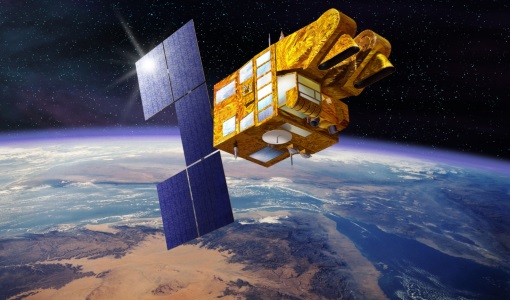
PROBA-1 HRC
All PROBA-1 passes are systematically acquired according to the current acquisition plan, HRC data are processed every day
Data - Fast Registration with approval (Restrained)
SPOT 1-5 ESA archive
The ESA SPOT 1-5 collection is a dataset of SPOT 1 to 5 Panchromatic and Multispectral products that ESA collected over the
Data - Data Service Request (Restrained)
ERS-1/2 SAR IM L0 [SAR_IM__0P]
European Space Agency, 2017-2021, ERS-1/2 SAR Image Mode Level 0 Product. IPF version 6.01
Data - EO Sign In Authentication (Open)
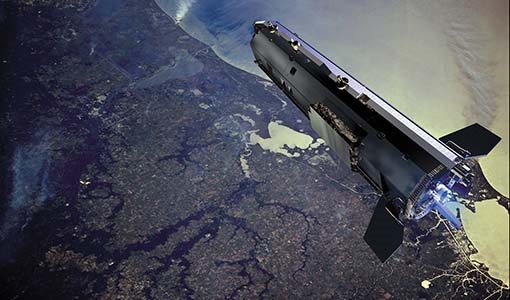
GOCE Level 1
_0202 SST_NOM_1b: latest baseline _000x (always take the highest number available) ACC_DFx_1b: latest baseline _0001 (x=1:


