- All Categories (55)
- Data (1)
- News (6)
- Missions (5)
- Events (3)
- Activities (2)
- Documents (38)
Document - General Reference

BIOMASS-Report-for-Mission-Selection-An-Earth-Explorer-to-observe-forest-biomass.pdf
The objective of the BIOMASS Mission is to determine the global distribution of forest biomass by reducing the uncertainty in the calculation of carbon stock and fluxes associated with the terrestrial biosphere.
News - Success Stories
Commercial and international data for fire monitoring
The Finnish ICEYE constellation, added to the TPM programme in 2021, currently consists of 27 synthetic aperture radar (SAR
Document - Conference Presentation - Poster

D3T3a_Schmullius_LTC2013.pdf
D3T3a Forest & Agriculture C. Schmullius
Activity - Quality

EDAP
The following missions are currently being considered as part of the Automatic Identification System (AIS) and Radio Frequency
Mission - Third Party Missions
Enhanced Thematic Mapper Plus (ETM+) Processor Releases
GCP displacement B TM radiometric calibration Update to radiometric calibration strategy for TM reflective bands (Dark Current
News - General News
Go-to guide to Third Party Mission data offering
Data Access Guide has been published, providing technical details and information on available data collections for all current
News - Success Stories

Heritage data trains neural networks to detect urban sprawl
Since they’ve been trained identically, they can help monitor both current and past urban changes.
News - Thematic area articles

How satellite data help to shape society
Title: Current drought situation in Ebro basin Description: The SMOS soil-moisture-based drought monitor is updated monthly
Event - Workshop

IDEAS+ Cal/Val Workshop 7
Regular workshops are held every nine months with the whole IDEAS+ Task 3-Cal/Val team in order to review the status of current
Document - Technical Note

Landsat 1-5 MSS Image Assessment System Radiometric Algorithm Description Document
Document - Technical Note
Landsat 4-5 TM Image Assessment System Radiometric Algorithm Theoretical Basis Document
Document - Technical Note
Landsat 7 ETM Image Assessment System Geometric Algorithm Theoretical Basis Document
Document - Technical Note
Landsat 7 ETM Image Assessment System Radiometric Algorithm Theoretical Basis Document
Data - EO Sign In Authentication (Open)
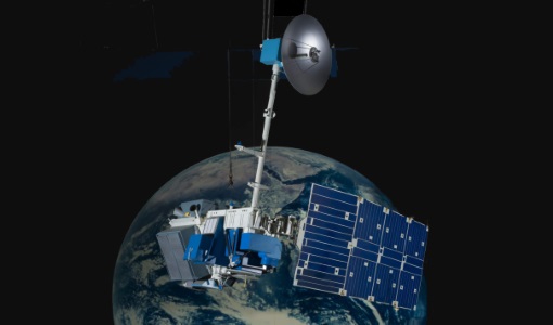
Landsat 8 Collection 2 European Coverage
terrain corrections applied and resampled for registration to a cartographic projection, referenced to the WGS84, G873, or current
Document - Technical Note
Landsat-1-3-MSS-Standard-Interface-Document.pdf
Landsat 1-3: MSS Standard Interface Document.
Document - Technical Note
Landsat-4-Multispectral-scanner-MSS-subsystem-radiometric-characterization.pdf
Landsat 4: Multispectral scanner (MSS) subsystem radiometric characterization.
Document - Quality Report

Landsat-8 OLI/TIRS Monthly Report 01 Apr 2017
Note: A small degradation is observed in the early life of the sensor with no major impact for current products.