- All Categories (163)
- Data (8)
- News (33)
- Missions (2)
- Events (20)
- Tools (14)
- Activities (8)
- Campaigns (1)
- Documents (77)
NEWS
Discover the latest news on the European Space Agency's Earth Observation activities. Learn all about new data availability and how ESA's missions are performing.
News - How to guides
HEDAVI Discover: a step-by-step guide
The Heritage Data Visualisation tool (HEDAVI) is a platform developed by the French Science Consulting for Earth Observation group, VisioTerra, which allows users to freely access over 40 years of ESA Earth Observation Heritage data, Third Party Missions and some Copernicus data.
News - Data Release news
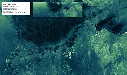
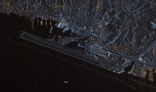
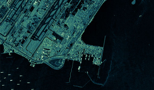
ICEYE Dwell mode now available to users
ICEYE Dwell mode products are now available through ESA’s Third Party Missions programme.
News - Thematic area articles
Space data support Earth’s ecosystems
ESA’s Earth observation (EO) missions are making a critical contribution to monitoring transformations in our planet’s ecosystems, helping track changes in the vegetation, soil, and ocean that affect these systems.
News - Operational News
Change of access to FTP-S for ERS and Envisat atmospheric and low-rate data
As of 13 December 2023, access to a series of ERS and Envisat atmospheric and low rate data collections changed from simple FTP to FTP-S.
News - Success Stories
Discover Earth like never before: the HEDAVI tool
The Heritage Data Visualisation tool, or HEDAVI, enables the analysis of global spatio-temporal dynamics of natural and artificial environments, covering over 40 years of ESA Earth Observation Heritage data, Third Party Missions and some Copernicus data.
News - Thematic area articles
How scientists use space data to help advance the energy transition
Scientists are using remote sensing data disseminated by ESA to support the green transformation of world’s power generation infrastructure.
News - How to guides
Quick guide to Data Service Request submission
Follow this quick guide to learn how to submit a Data Service Request, which is required when applying for level zero (A)SAR data from ESA's European Remote Sensing satellites (ERS) and the Envisat mission.
News - Thematic area articles
Global understanding of Earth's land surfaces greatly boosted by satellite data
ESA perform land surface monitoring with a range of instruments onboard satellites acquiring optical and radar data. Collections of data from these missions are freely available for research purposes.
News - How to guides
How to request level zero radar data from ERS and Envisat
To apply to use level zero (A)SAR radar data from ESA’s European Remote Sensing satellites (ERS-1 and ERS-2) and its Envisat mission for research purposes, you should prepare and submit an online form – called a Data Service Request – to put forward your proposed project to ESA for evaluation.
News - Data Release news
ICEYE ESA archive collection now available to users
ICEYE ESA archive collection is now available worldwide through ESA’s Third Party Missions programme. The ESA archive collections consist of products requested by ESA-supported projects worldwide, and, therefore, the products are scattered and dispersed over the territory in different time windows. The datasets regularly grow as ESA collects new products over the years.
News - Events and Proceedings
Very High Resolution data to take centre stage
In the last few years, European New Space providers have helped strengthen the offering of very high resolution remote sensing data products—a designated workshop this November aims to focus on the latest developments in this arena.
News - Data Release news
Spot Extended Area mode added to ICEYE on-demand portfolio
As an evolution of Spot mode, Spot Extended Area products are now available with the same resolution of Spot data (ground resolution of 1 m) but enabling to cover the area of 225 km2 (15 x 15 km) in a single SAR image.
News - Thematic area articles
Transforming space data into climate action
ESA’s Earth observation activities are playing a key role in the revitalised global drive to combat climate change.
News - Events and Proceedings
VHR Data Quality in the limelight
In recent years, the satellite landscape has steadily expanded with a variety of very high resolution (VHR) commercial satellites, also emerging from new space providers. A result of this growth is an increased need to address data quality assurance.
News - Events and Proceedings
Data preservation takes centre stage at Living Planet Symposium
Against the backdrop of the famed Rhine River, world-class scientists and Earth observation data-users are gathered this week in the historical city of Bonn, at the Living Planet Symposium (LPS).
News - Spotlight on EO community
Interviewing Mirko Albani
ESA’s Heritage Space Programme Manager describes the goals of the programme, some of the challenges involved in preserving and improving 40 years of historical Earth observation data, and his passion for curating this long-term archive.
News - Thematic area articles
Satellite data central to ocean monitoring
Over 95% of Earth’s water is found in our oceans, and yet sadly, oceans are under stress from climate change and pollution. Monitoring our oceans is vital for Earth’s survival and satellites are the primary means of long-term and independent observation of our vast ocean bodies and their associated coastal zones.
News - Spotlight on EO community
Introducing Mirko Albani
In this short introduction, ESA's Heritage Missions Programme Manager describes what he likes most about ESA's long term archive of satellite mission data and his role in the programme.
News - Success Stories
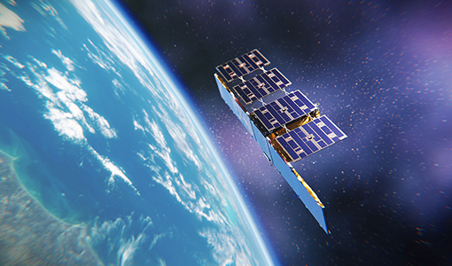
ICEYE, the World’s First SAR New Space Constellation
ICEYE is a revolutionary Finnish company that developed and launched the world’s first under-100 kilogram synthetic-aperture radar (SAR) satellites into orbit.
News - Success Stories
ERS' Contribution to Altimetry
Satellite radar altimetry missions have transformed the way we see Earth and its oceans. Using the ranging capability of radars, they measure the surface topography profile along a satellite’s track.
