- All Categories (271)
- Data (2)
- News (31)
- Missions (2)
- Events (10)
- Tools (4)
- Activities (5)
- Documents (217)
News - Infographics
Timeline to over 40 years of historical satellite missions
ESA's Heritage Space Programme preserves historical data from over 40 years of Earth observation missions.
Document - General Reference
Third Party Missions Brochure
This brochure summarises ESA's Third Party Missions programme, providing a timeline and examples of content related to some of the missions.
Document - General Reference
The International Charter- Space and Major Disasters
The Charter is an important step forward in linking the needs of disaster and relief organisations with space technology solutions to help mitigate the effects of disaster on human life, property and the environment.
News - Success Stories
The Earthnet Programme: 40 years of evolution and future challenges
ESA's Earthnet Programme provided the initial means to access and exploit Earth Observation data.
Document - General Reference
The Earth Observation Handbook, 2010 Update - Key Tables
This is the 2010 update of the CEOS Earth Observation Handbook. You can browse the live database at http://database.eohandbook.com/ or download the printable PDF of key tables based on the 2010 database contents for a handy reference.
Document - General Reference
surface-reflectance-aerosol-properties-proba-v-observations-abstract.pdf
Joint Retrieval Of Surface Reflectance And Aerosol Properties: Application To Proba-V Observations
Document - General Reference
Sterckx-Sindy-ICOS-2017.pdf
Poster presentation at IOCS (International Ocean Colour Science) 2017, 5 -19 May 2017, Lisbon, Portugal.
News - Thematic area articles
Space helps monitor Earth’s changing biosphere
Earth’s biosphere is continually changing. Through its pioneering Earth observation missions, ESA is making critical contributions to monitor these changes and their impacts on Earth’s water and carbon cycles.
Tools - Analysis
SNAP
SNAP is a common architecture for all Sentinel Toolboxes. It is ideal for Earth observation processing and analysis.
News - Success Stories
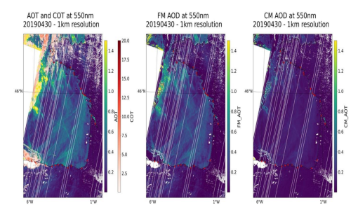
Ship trails in the Bay of Biscay observed using PROBA-V imagery
Ship trails have been perceived as convincing evidence of aerosol-cloud interaction. Ship emissions have been proven to contribute by about 1.9% and 2.9% to the increase in the global total and fine-mode aerosol optical thickness (AOT) respectively over a five year period (Peters et al. 20212).
Document - User Guide
SHARP-Level-2-User-Guide.pdf
This document provides the user with detailed description of data treatment performed during NOAA SHARP Level-2 generation and explanation and examples of how to read SHARP Level-2 data and extract information.
Document - User Guide
SHARK Technical Reference Manual
The SHARK Technical Reference Manual provides detailed information on the organisation and workings of the SHARK Software Environment and the hardware on which it runs. SHARK is a standalone system that processes HRPT data transmitted from the TlROS-N/NOAA polar orbiting meteorological satellites.
News - Thematic area articles
Satellite data boost global understanding of land surface
Understanding our changing land surface is essential in the study of climate change. Satellites are used to monitor changes to the material that covers Earth’s surface, so-called land cover, such as vegetation and water.
Document - Technical Note
Review of semi-empirical BRDF models performance on Proba-V and Spot-Vgt time series
Proba-V heritage mission: SPOT-VGT data processing and dissemination - Scientific paper providing overview of SPOT-VGT 15-years of data processing and dissemination
News - General News
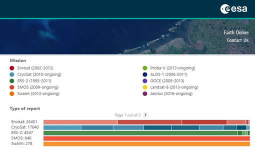
Quality Reports Advanced Search Portal takes off
The Quality Reports Advanced Search (QRAS) Portal is a system that provides a set of functionalities for searching, filtering, visualising and downloading of Earth Observation reports data, from multiple missions.
Document - General Reference
PV-LAC-COAST-VR-v2.0.pdf
This is the second version (V2) of the Validation Report for the PV-LAC coastal activities.
Document - General Reference
PV-LAC-COAST-SR-v1.1.pdf
In the frame of the PV-LAC project a prototype code has been developed, tested and validated for the atmospheric correction (A/C) and turbidity retrieval of PROBA-V data over turbid coastal areas.
Document - General Reference
PV-LAC-COAST-RBD-v1-1.pdf
The aim of this document is to make a critical review of the algorithms for TSM retrieval and atmospheric correction in turbid coastal waters, to identify the most suitable method (TSM and A/C method) for PROBA-V, to define the validation approach (including identification of the validation data and test sites) and to assess the utility and benefits of 100m coastal products through interaction with the user community.


