- All Categories (88)
- Data (2)
- News (3)
- Missions (2)
- Events (2)
- Activities (1)
- Campaigns (1)
- Documents (77)
News - Thematic area articles
Cloud-free collections key for land monitoring
Satellite imagery is a crucially important tool for monitoring the land, but cloud cover can often block parts of Earth’s surface from view, limiting subsequent analyses.
Data - EO Sign In Authentication (Open)
Landsat RBV
This dataset contains Landsat 3 Return Beam Vidicon (RBV) products, acquired by ESA by the Fucino ground station over its visibility mask. The data (673 scenes) are the result of the digitalization of the original 70 millimetre (mm) black and white film rolls. The RBV instrument was mounted on board the Landsat 1 to 3 satellites between 1972 and 1983, with 80 metre resolution. Three independent co-aligned television cameras, one for each spectral band (band 1: blue-green, band 2: yellow-red, band 3: NIR), constituted this instrument. The RBV system was redesigned for Landsat 3 to use two cameras operating in one broad spectral band (green to near-infrared; 0.505–0.750 µm), mounted side-by-side, with panchromatic spectral response and higher spatial resolution than on Landsat 1 and Landsat 2. Each of the cameras produced a swath of about 90 km (for a total swath of 180 km), with a spatial resolution of 40 m.
News - Thematic area articles
Global understanding of Earth's land surfaces greatly boosted by satellite data
ESA perform land surface monitoring with a range of instruments onboard satellites acquiring optical and radar data. Collections of data from these missions are freely available for research purposes.
Document - Technical Note
Landsat 7 ETM Image Assessment System Radiometric Algorithm Theoretical Basis Document
Document - Technical Note
Landsat 7 ETM Image Assessment System Geometric Algorithm Theoretical Basis Document
News - Success Stories
New life for Landsat historical data
45 years of data, more than 1.8 million images, these are the numbers of an adventure started 48 years ago with the launch of the first Landsat satellite.
Data - Campaigns (Open)
THERMOPOLIS
The THERMOPOLIS 2009 campaign mainly served the DUE “Urban Heat islands (UHI) and Urban Thermography (UT) Project”
Campaign
THERMOPOLIS
The THERMOPOLIS 2009 campaign mainly served the DUE “Urban Heat islands (UHI) and Urban Thermography (UT) Project”
Mission - Heritage Missions
Landsat Series
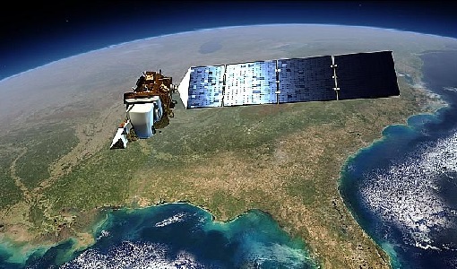
The Landsat Series is the world's longest running system of satellites for moderate-resolution optical remote sensing for land, coastal areas and shallow waters.
Activity - Quality
SEOM CAWA
The Advanced Clouds, Aerosols and WAter vapour products for Sentinel-3/OLCI project aims to develop and improve the advanced atmospheric retrieval algorithms developed for MERIS and OLCI instruments.
Document - General Reference
ERS - Envisat Symposium - Looking down to Earth in the New Millennium
The abstracts from the ERS-Envisat Symposium "Looking down to Earth in the new Millennium", which took place in Gothenburg, Sweden, from 16 to 20 October 2000 are presented here.
Document - User Guide
Envisat Mission CFI Software PPF_Orbit Software User Manual
The Software User Manual (SUM) of the Envisat-1 mission CFI software is composed of a general document describing the sections common to all the CFI software libraries and a specific document for each of those libraries. This document is the PPF ORBIT Software User Manual. It provides a detailed description of the use of the CFI functions included within the PPF_ORBIT CFI software library.
Document - Technical Note
Landsat MSS State Vector Generation
Technical note describing the validation activities conducted to assess the geolocation accuracy and internal image geometry of the Landsat MSS products.
Document - Technical Note
Landsat Level 1 GTC MSS Geometric Validation
Technical Note detailing the results of the geometric validation of the ESA Landsat MSS products.
Document - Technical Note
ngEO Browse Report File Generic Interface (BRGICD)
Statistical description of the ngEO Generic Browse Report File.
Document - General Reference
Earth from Space - 5 Years of Envisat
Since its launch in 2002, Envisat has provided continuous observation and monitoring of the Earth's land, atmosphere, oceans and ice caps. The brochure represents, in a non-exhaustive way, some of the images and derived results provided by Envisat data over the last 5 years.
Document - Proceedings
Earth Observation for Land-Atmosphere Interaction Science
Proceedings of the Topical Conference Earth Observation for Land-Atmosphere Interaction Science held from 3-5 November 2010 at the premises of ESA-ESRIN in Frascati (Rome) Italy.
