- All Categories (4115)
- Data (33)
- News (40)
- Missions (7)
- Events (23)
- Tools (7)
- Activities (4)
- Campaigns (2)
- Documents (3999)
Event - Workshop
11th Swarm Data Quality Workshop
The 11th Swarm Data Quality Workshop was a hybrid event, which was instrumental in addressing the processing and use of Swarm data and defining a road map for future activities.
Event - Conference

15 Years of Progress in Radar Altimetry Symposium
A Symposium on "15 Years of Progress in Radar Altimetry" and the annual meeting of the Ocean Surface Topography Science Team, the International Doris Service Workshop and the ARGO Workshop.
Event - Workshop

1st International GOCE User Workshop
The workshop provided a forum for presentations and discussions on the development, use and exploitation of GOCE Level 2 (global and regional) geoid products and Level 3 (science and application) data products.
Document - Proceedings

2nd-International-GOCE-User-Workshop.pdf
This document describes the proceedings of the 2nd International GOCE User workshop held at the ESA-ESRIN Site, Frascati, Italy, 8-10 March 2004.
Event - Conference
3rd ERS Symposium
The ESA Directorate for Observation of the Earth and its Environment held the 3rd ERS Symposium, in 1997, where many of the results from the ERS-1 and ERS-2 missions were presented and discussed by the scientific community.
Event - Workshop

3rd International GOCE User Workshop
This workshop focussed on the oceanographic applications, such as absolute dynamic topography, of GOCE data in conjunction with other space-borne data, such as radar altimetry, and in-situ data and models.
Document - Proceedings
4th-International-GOCE-User-Workshop.pdf
Proceedings of the 4th International GOCE User Workshop held on 31 March - 1 April 2011 at the Technische Universitat Munich, Germany
Document - General Reference

A-Jewel-in-ESAs-Crown-GOCE-and-its-Gravity-Measurement-Systems.pdf
This article is extracted from ESA Bulletin Nr. 133
Document - Proceedings
Abstracts-of-2nd-International-GOCE-User-Workshop.pdf
This volume collects the abstracts of the papers presented at the GOCE User Workshop, held on 8-10 March 2004 at ESA ESRIN, Frascati Italy.
News - Data Release news
Additional EFI TII Cross Track Flow dataset 0302 available for Swarm
Additional TII cross-track flow data is now available on the Swarm dissemination server for all the Swarm satellites.
News - Data Release news

Additional EFI TII Cross Track Flow dataset 0302 available for Swarm
Additional TII cross-track flow data is now available on the Swarm dissemination server for all the Swarm satellites.
News - Data Release news
Additional EFI TII Raw And Corrected Imagery and Spectra (TRACIS) dataset 0102 available for Swarm
Additional EFI TII Raw And Corrected Imagery and Spectra (TRACIS) data is now available on the Swarm dissemination server for all the Swarm satellites.
News - Success Stories
Aeolus enhances volcanic ash forecasts for aviation safety
A new study, using wind data from ESA’s Aeolus mission, highlights the importance of using satellite missions like Aeolus to improve volcanic ash forecasting and ensure aviation safety in the future.
Campaign

AfriScat
AfriScat campaign, a follow on to TropiSCAT campaign, was to acquire long-term P-Band radar data in an African tropical forest.
Data - Campaigns (Open)
AfriScat
AfriScat campaign, a follow on to TropiSCAT campaign, was to acquire long-term P-Band radar data in an African tropical forest.
Event - Conference
ALOS 2008 Symposium
The 2008 Joint PI Symposium of the ALOS Data Nodesa was a forum to exchange views on technical and scientific issues on the data exploitation.
Data - Fast Registration with approval (Restrained)
ALOS PALSAR International Polar Year Antarctica
International Polar Year (IPY), focusing on the north and south polar regions, aimed to investigate the impact of how changes to the ice sheets affect ocean and climate change to the habitats in these regions. IPY was a collaborative project involving over sixty countries for two years from March 2007 to March 2009. To meet the project goal, world space agencies observed these regions intensively using their own Earth observation satellites. One of these satellites, ALOS - with the PALSAR (Phased Array type L-band Synthetic Aperture Radar) sensor - observed these regions independently from day-night conditions or weather conditions. Carrying on this initiative, ESA is providing the ALOS PALSAR IPY Antarctica dataset, which consists of full resolution ALOS PALSAR ScanSAR WB1 products (100 m spatial resolution) over Antarctica from July 2008 (cycle 21) to December 2008 (Cycle 24) and from May 2009 (cycle 27) to March 2010 (cycle 31). Missing products between the two periods above is due to L0 data over Antarctica not being available in ADEN archives and not processed to L1. Spatial coverage: Check the spatial coverage of the collection on a map available on the Third Party Missions Dissemination Service.
Tools - Other
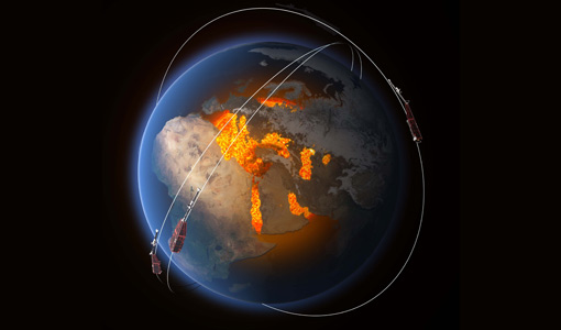
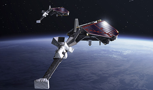
AMPS
AMPS is a climatological model of polar ionospheric currents, based on magnetic field measurements from the CHAMP and Swarm satellites.
Document - Software Verification Plan/Report

An-assessment-of-ERS-SAR-Low-Resolution-Imagery.pdf
The objective of this technical note is to describe and to analyse the various concepts associated with the ERS SAR low resolution imagery. This study is done in order to evaluate a range of products, to consider the trade-offs involved in product specification and to propose some recommendations fro low resolution imagery of quality suitable for a broad range of potential applications.
Document - Software Verification Plan/Report
An-investigation-of-the-error-characteristics-of-the-GOCE-geoid-models.pdf
This report presents an initial investigation into the error characteristics of the GOCE gravity field models as they are realised in the calculated geoid anomalies.