- All Categories (4731)
- Data (31)
- News (44)
- Missions (18)
- Events (33)
- Tools (3)
- Activities (3)
- Campaigns (2)
- Documents (4597)
Document - General Reference
Further-Achievements-of-the-ERS-Missions.pdf
This publication shows how with time the various uses of ERS data are developing and consolidating in key areas of science and economic exploitation.
Document - General Reference
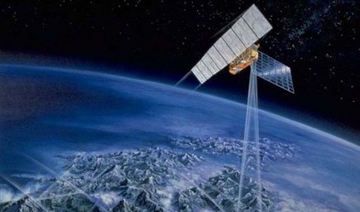
CoReH2O-Report-for-Mission-Selection-An-Earth-Explorer-to-observe-snow-and-ice.pdf
This report describes the CoReH2O (Cold Regions Hydrology high-resolution Observatory) mission, which was selected for feasibility study in the third cycle of Earth Explorers.
Document - General Reference
The-Changing-Earth-New-Scientific-Challenges-for-ESAs-Living-Planet-Programme.pdf
This article is extracted from ESA Bulletin Nr. 129.
Document - General Reference
The Nine Candidate Earth Explorer Missions - Topography Mission
This report for assessment addresses the Topography mission when it was selected with other nine Earth Explorer missions as a potential candidate for Phase A study.
Document - General Reference
The Science and Research Elements of ESA Living Planet Programme
This document presents the plans for the Earth Explorer element of the European Space Agency's 'Living Planet' Programme for Earth Observation.
Event - Conference
3rd ERS Symposium
The ESA Directorate for Observation of the Earth and its Environment held the 3rd ERS Symposium, in 1997, where many of the results from the ERS-1 and ERS-2 missions were presented and discussed by the scientific community.
Event - Workshop
2nd CHRIS PROBA Workshop
This 2004 workshop was on the treatment of Compact High Resolution Images Spectrometer (CHRIS) data.
Event - Workshop
CEOS-IVOS Workshop on Inter-comparison of Large Scale Optical and Infrared Sensors
The 2004 workshop was an opportunity to present and exchange experiences and knowledge from work on inter-comparing large scale optical sensors at different product levels.
Event - Workshop
4th CHRIS PROBA Workshop
Workshop on the treatment of Compact High Resolution Images Spectrometer (CHRIS) data.
Event - Conference
ALOS 2008 Symposium
The 2008 Joint PI Symposium of the ALOS Data Nodesa was a forum to exchange views on technical and scientific issues on the data exploitation.
Event - Training
Advanced Training Course on Ocean Remote Sensing 2006
The objective of the course was to provide first-hand information on a broad range of ocean research topics including key principles of SAR, Radar Altimetry, Ocean Colour and Sea Surface Temperature measurements, processing algorithms, data products and their use in oceanographic applications.
Event - Training
Advanced Training Course in Ocean Remote Sensing 2011
Within the framework of the Dragon Programme, a joint collaboration between the European Space Agency (ESA) and the Chinese Ministry of Science and Technology (MOST), ESA and NRSCC are providing a series of advanced thematic training courses on remote sensing applications hosted by university and research institutions in P.R. China.
Event - Training
Advanced Training Course in Land Remote Sensing 2012
The 2012 advanced training course focused on land remote sensing theory and applications.
Mission - Heritage Missions
JERS-1
The overall objectives of JERS-1 (Japanese Earth Resources Satellite) were the generation of global data sets with SAR and OPS sensors aimed at surveying resources, establishing an integrated Earth observation system
Mission - Third Party Missions
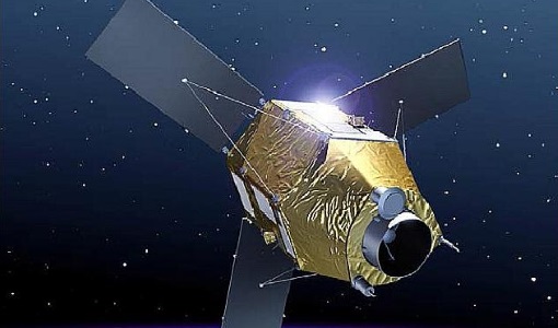
Pléiades
The Pléiades programme followed the SPOT programme satellite series, introducing advanced technologies in Earth observation.
Mission - Heritage Missions
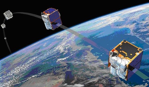
RapidEye
Together, the five RapidEye satellites were capable of collecting over 4 million square kilometres of 5 m resolution, 5-band colour imagery every day.
Mission - Third Party Missions
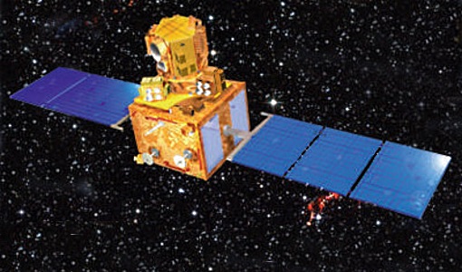
IRS-R2 (ResourceSat-2)
IRS-R2 (ResourceSat-2) continues the remote sensing data services to global users provided by the ResourceSat-1 mission and also provides data with enhanced multispectral/ spatial coverage.
Mission - Heritage Missions
SPOT 1
SPOT 1 was designed to improve the knowledge and management of Earth's resources, detecting and forecasting phenomena involving climatology and oceanography, and monitoring human activities and natural phenomena.
Mission - Heritage Missions
SPOT 2
SPOT 2, like all the SPOT missions, was aimed at supplying high-resolution, wide-area optical imagery.
Mission - Heritage Missions
SPOT 3
SPOT 3, like all the SPOT missions, was aimed at supplying high-resolution, wide-area optical imagery.
