- All Categories (1046)
- Data (10)
- News (54)
- Missions (2)
- Events (24)
- Tools (2)
- Activities (5)
- Campaigns (4)
- Documents (945)
Document - Conference Presentation - Poster
05_OCT2013 SMOS_NREUL_partI.pdf
The SMOS mission Dr. Nicolas Reul (IFREMER, France)
Event - Training
2nd Advanced Training Course on Ocean Remote Sensing 2009
This advanced training course focused on ocean remote sensing theory and applications.
Event - Workshop
2nd SMOS for Space Weather Workshop
The Second Workshop on SMOS for Space Weather will take place on 27 October 2023, hosted by the Space Weather Group of the University of Alcala, Alcalá de Henares (Madrid, Spain).
News - Events and Proceedings
2nd SMOS for Space Weather Workshop
The 2nd Workshop on SMOS for Space Weather will take place on 27th October 2023, hosted by the Space Weather Group of the University of Alcala, Alcalá de Henares (Madrid, Spain).
Event - Conference
2nd SMOS Science Conference
The conference focused on the applications of SMOS data, including operational services, the development of novel data products, the synergistic use of SMOS data with other data sources and the potential of SMOS data for the generation of long-term data sets.
Event - Training
3rd Advanced Training Course on Land Remote Sensing 2011
This 2011 advanced ESA training course focused on land remote sensing theory and applications.
Event - Training
3rd Advanced Training Course on Ocean Remote Sensing 2013
The 3rd Advanced Training Course on Ocean Remote Sensing was held from 23 to 27 September 2013 in Cork, at the National Maritime College of Ireland.
Event - Conference
3rd ERS Symposium
The ESA Directorate for Observation of the Earth and its Environment held the 3rd ERS Symposium, in 1997, where many of the results from the ERS-1 and ERS-2 missions were presented and discussed by the scientific community.
Event - Training
Advanced Training Course in Land Remote Sensing 2012
The 2012 advanced training course focused on land remote sensing theory and applications.
Event - Training
Advanced Training Course in Ocean Remote Sensing 2011
Within the framework of the Dragon Programme, a joint collaboration between the European Space Agency (ESA) and the Chinese Ministry of Science and Technology (MOST), ESA and NRSCC are providing a series of advanced thematic training courses on remote sensing applications hosted by university and research institutions in P.R. China.
News - Spotlight on EO community
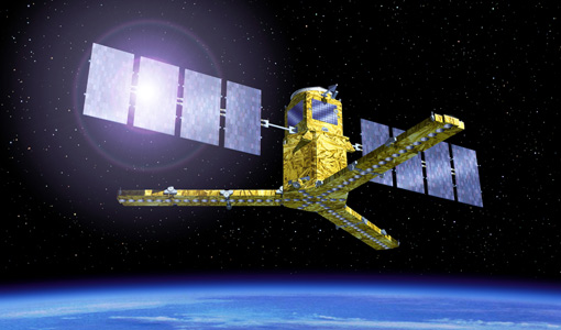
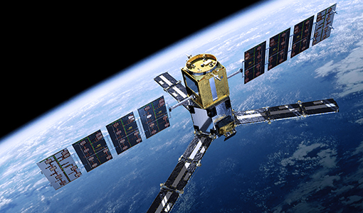
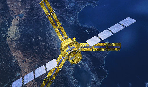
An overview of the SMOS mission
In this video, Klaus Scipal - Biomass and SMOS Mission Manager - talks about ESA's Soil Moisture and Ocean Salinity mission.
Document - Product Document
ANNEX-A-ERS-1-ALT-RAW-Products-CCT-Format-Specification.pdf
Historical Document.This document deals with the product specification of the Altimeter Raw Data Product which provides the user with annotated, uncorrected altimeter measures, sensor parameters and sensor characteristics.
Document - Product Document
ANNEX-B-ERS-1-ALT-FDC-Products-CCT-Format-Specifications.pdf
This document deals with the product specification of the Altimeter Fast Delivery Copy. Valid for data processed up until July '95 when there was a switch from CEOS to CCSDS.
Document - Product Document
Annex-D-ERS-1-ALT-OPR-Product-CCT-Format.pdf
This product aims at providing the users with geophysically corrected altimeter measures over ocean, including all the engineering corrections and all the geophysical corrections due to the troposphere, the ionosphere and the electromagnetic bias. In addition, the surface altitude over the ellipsoid is calculated, correcting for the surface elevation due to tides and geoid.
Document - Product Document
Annex-E-ERS-1-ALT-WDR-Products-CCT-Format-Specifications.pdf
This product consists of the altimeter transcribed raw data with associated immediately available calibrations, corrections, geolocation and characterisation. This product is routinely generated on receipt of altimeter data at UK-PAF.
Event - Workshop
Applications of the ERS Along Track Scanning Radiometer Workshop 1999
The workshop on ERS mission's Along Track Scanning Radiometer (ATSR) instrument gathered researchers and specialists working on different applications of the mission.
Document - General Reference
ARTEMIS-Data-Relay-Payload-Data-Book.pdf
This document is intended as a guide to the user community wishing to avail themselves of the services provided by the data relay system, which is based on the ARTEMIS satellite located over Europe. This document describes the services that data relay can offer and the interface requirements applicable to the UST and the UET.
Document - General Reference
ARTEMIS-Moving-Forward-a-New-Generation-of-Communications.pdf
This brochure presents an overview of the telecommunications satellite, Artemis.
Document - General Reference
ARTEMIS-Paving-the-way-for-Europes-future-data-relay-land-mobile-and-Navigation-Services.pdf
This brochure provides an overview of Artemis, ESAs telecommunications satellite.
Document - General Reference
Candidate-Earth-Explorers-in-Assessment-Phase.pdf
This flyer gives a quick overview on the candidate Earth Explorers missions in assessment phase.
