- All Categories (41855)
- Data (118)
- News (237)
- Missions (29)
- Events (75)
- Tools (12)
- Activities (12)
- Campaigns (54)
- Documents (41318)
DATA
Discover and download the Earth observation data you need from the broad catalogue of missions the European Space Agency operate and support.
Data - Campaigns (Open)
POLARIS Proof of Concept 2008
The POLARIS Proof-of-Concept (PoC) 2008 campaign primarily aimed to verify the usefulness of the system for glaciological applications.
Data - Campaigns (Open)
POLARIS 2011
In February 2011, ESA's POLarimetric Airborne Radar Ice Sounder (POLARIS) system was flown for the first time in the Antarctic, as part of the POLARIS IceGrav Antarctic Campaign 2011, ICEGRAV project.
Data - Campaigns (Open)
POLARIS - Proof of Concept 2009
POLARIS - Proof of Concept (PoC) 2009 is a follow on campaign from POLARIS - PoC 2008. It focused on an additional POLARIS test with the objective to system test after system upgrade and the acquisition of fully polarimetric data of glaciological interest.
Data - Campaigns (Open)

PolarGap
The primary objective of the PolarGap campaign was to carry out an airborne gravity survey covering the southern polar gap of the gravity field mission GOCE, beyond the coverage of the GOCE orbit.
Data - Campaigns (Open)
PhotoProxy 2019
The Photosynthetic-Proxy Experiment campaign address relevant open aspects that are related to the quantitative assessment of vegetation photosynthesis and vegetation stress from space.
Data - Campaigns (Open)

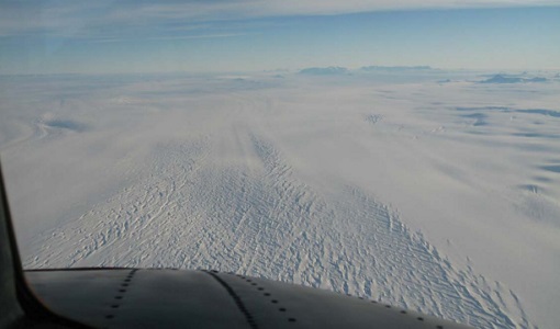
NoSREx-I -II and -III
The Nordic Snow Radar Experiment (NoSREx) took place between November 2009 and May 2010. The objective of the campaign was to provide a continuous time series of active and passive microwave observations of snow cover in a representative location.
Data - Campaigns (Open)

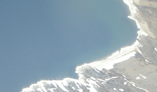
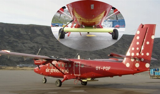
LaRA
To improve our knowledge of how best to measure ice thickness, the airborne Laser and Radar Altimeter campaign (LaRA) was carried out over the frozen expanses of northern Greenland.
Data - Campaigns (Open)
SnowLab-NG
The overall objective of the SnowLab-NG activity was to provide a comprehensive multi-frequency, multi-polarisation, multi-temporal dataset and active and passive microwave measurements over snow-covered grounds.
Data - Campaigns (Open)
SnowLab
The aim of the SnowLab campaign was to provide a comprehensive multi-frequency, multi-polarisation, multi-temporal dataset of active and passive microwave measurements over snow-covered grounds to investigate the relationship between effective snow and ground parameters and the resultant signals detected by microwave radars and radiometers.
Data - Campaigns (Open)

IceSAR 2012
In the frame of IceSAR 2012, airborne SAR campaigns were carried out in Greenland in support of the Biomass candidate Earth Explorer mission.
Data - Campaigns (Open)

SMOSice
The ESA SMOSice study has demonstrated for the first time the potential to retrieve sea ice thickness from SMOS data.
Data - Campaigns (Open)

IceSAR 2007
The objectives of IceSAR 2007 campaign was to acquire SAR images and complementary data over sea and land ice for preparation of Sentinel-1 mission and for providing a basis for the assessment of potential applications of Biomass mission.
Data - Campaigns (Open)

AfriSAR 2015
During the AfriSAR 2015 campaign, shared between ONERA (dry season, July 2015) and DLR (wet season 2016), Pol-InSAR and TomoSAR airborne data set were collected over four test sites over Africa, therefore covering different forest structures.
Data - Campaigns (Open)

BioSAR 2007
The BioSAR campaign aimed to support geophysical algorithm development, calibration/validation and the simulation of future spaceborne Earth Observation missions.
Data - Campaigns (Open)

BioSAR 2008
The main objective of BioSAR-2 (BioSAR 2008) campaign was to record SAR data over boreal forests with topographic effects to investigate the effect on biomass retrieval.
Data - Campaigns (Open)

AGRISAR 2006
The AGRISAR 2006 campaign, carried out between 18 April and 2 August 2006, was established to address important specific programmatic needs of Sentinel-1 and -2.
Data - Campaigns (Open)

AgriSAR 2009
The AgriSAR 2009 campaign was defined to leverage the RADARSAT-2 mission to better understand and demonstrate the potential for GMES land monitoring user services, particularly in agriculture.
Data - Campaigns (Open)

AIRFIRE
The fires observational campaign was performed during summer 2006 and dedicated to the study of fire emission in the spectral region VNIR-SWIR.
Data - Campaigns (Open)
AlpTomoExp
The AlpTomoSAR experiment has been conceived to support studies related to SAOCOMCS tomography for mapping the 3D internal structure of glaciers.
Data - Campaigns (Open)
SnowSum
The SnowSum experiment is designed to support the development of future concepts to monitor the cryosphere.