- All Categories (27913)
- Data (27)
- News (108)
- Missions (2)
- Events (20)
- Tools (14)
- Activities (8)
- Campaigns (6)
- Documents (27728)
DATA
Discover and download the Earth observation data you need from the broad catalogue of missions the European Space Agency operate and support.
Data - Fast Registration with immediate access (Open)
GOME Total Column Water Vapour Climate product
The GOME Total Column Water Vapour (TCWV) Climate product was generated by the Max Planck Institute for Chemistry (MPIC), and the German Aerospace Center (DLR) within the ESA GOME-Evolution project. It is a Level 3 type product containing homogenized time-series of the global distribution of TCWV spanning over more than two decades (1995-2015). The data is provided as single netCDF file, containing monthly mean TCWV (units kg/m2) with 1-degree resolution, and is based on measurements from the satellite instruments ERS-2 GOME, Envisat SCIAMACHY, and MetOp-A GOME-2. Details are available in the paper by Beirle et al, 2018. Please also consult the GOME TCWV Product Quality Readme file before using the data.
Data - Fast Registration with immediate access (Open)
ERS-2 GOME Total Column Amount of Trace Gases Product
GOME Level 2 products were generated by DLR on behalf of the European Space Agency, and are the end result of the Level 1 to 2 reprocessing campaign of GOME Level 1 version 4 data with Level 2 GOME Data Processor (GDP) version 5.0 (HDF-5 format). The GOME Level 2 data product comprises the product header, total column densities of ozone and nitrogen dioxide and their associated errors, cloud properties and selected geo-location information, diagnostics from the Level 1 to 2 algorithms and a small amount of statistical information.
Data - Fast Registration with immediate access (Open)
ERS-2 GOME Spectral Product L1
GOME Level 1 products contain Earthshine radiance at the Top of the Atmosphere and solar irradiance spectra. They were generated by DLR on behalf of the European Space Agency with Level 1 GOME Data Processor (GDP-L1) starting from the Extracted GOME Calibration (EGOC) Level 0 data files. Originally raw detector signals (binary Analog to Digital Converted units) of the science measurements plus calibration constants were provided (dataset version 4 and lower), but following the end of the operational phase of the ERS-2 mission (2 July 2011), as part of ESA's post-operational algorithm improvement activities (Coldewey-Egbers et al., 2018), the GOME Level 1 data type was entirely revised and a dataset of fully calibrated and ready to use data was generated with GOME processor version 5.1. The version 5.1 data bring relevant quality improvements for the revised calibration approach, compensating aging and instrument degradation, and provide enhanced accessibility. The version 5.1 data are in NetCDF format and differ fundamentally from the previous GOME Level 1 data, having the Envisat proprietary format and basically containing Level 1a data where a dedicated extraction software tool had to be applied by end user to obtain spectrally and radiometrically calibrated radiances (including the correction for polarisation, leakage current and stray light). Such calibrations are now applied to the version 5.1 L1b data product in the standard processing. Users of GOME Level 1 products are strongly recommended to migrate to the latest reprocessed dataset. Please consult the GOME Product Quality Readme file before using the data.
Data - Campaigns (Open)
CryoVExGround 2011
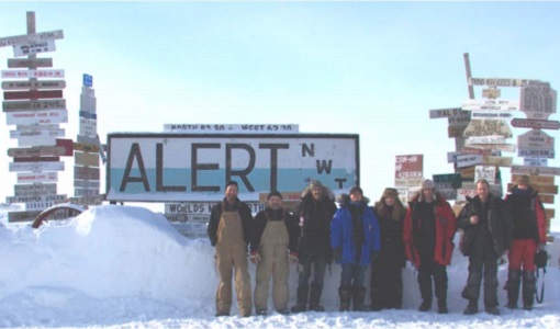
The aims of the CryoVEx 2011 experiment, operating out of Alert base, was to study the snow and ice characteristics of Arctic sea ice and its snow cover during winter.
Data - Campaigns (Open)
CryoVExAnt 2014/2015
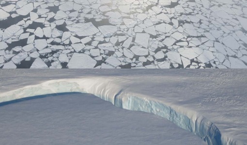
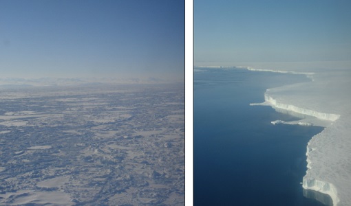
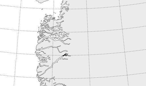
The aim of CryoVEx Ant 2014 to 2015 was to perform altimeter measurements at a designated validation site in the vicinity of the Schirmacher Oasis, near Kohnen and Neumayer as well as in the Pine Island Glacier drainage basin.
Data - Campaigns (Open)

CryoVExAnt 2010/2011
The CryoVEx 2010/2011 Antartic campaign was carried out in Dronning Maud Land from 11 November 2010 to 20 February 2011.
Data - Campaigns (Open)
CryoVExAnt 2008/2009
The key objective of the CryoSat Validation Experiment Antarctica (CryoVExAnt) campaign is a better approximation of the error range of the elevation obtained from SAR-processed altimetric radar returns and its sensitivity to surface roughness.
Data - Campaigns (Open)
CryoVEx/KAREN Antarctica 2017/18
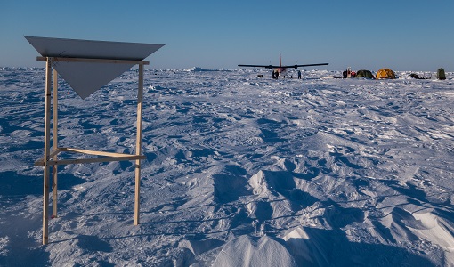
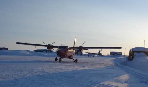
ESA’s CryoVEx/Karen 2017‐18 campaign took place in Antarctica in from Dec 2017 to Jan 2018. The campaign was composed of an airborne and in‐situ campaign and acquired extensive data sets of scanning lidar, Ku‐ and Ka‐band nadir‐looking radar, and auxiliary imagery for validation of the ESA CryoSat‐2 satellite (Ku‐band radar altimetry) and the French‐Indian AltiKa mission (Ka‐band radar altimetry).
Data - Campaigns (Open)
CryoVEx/ICESat-2 Spring 2019
The ESA Spring CryoVEx/ICESat-2 campaign 2019 was the first CryoVEx campaign since the launch of NASA ICESat-2 in September 2018, and aimed at cross-validating ESA CryoSat-2 and NASA ICESat-2 missions over sea ice and land ice in the Arctic.
Data - Campaigns (Open)
CryoVEx KAREN 2017
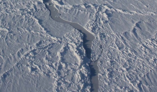
The CryoVEx-KAREN 2017 Campaign in the Arctic had the goal to collect unique measurements to help us better understand how sea ice is changing.
Data - Campaigns (Open)
CryoVEx KAREN 2016 Fall
The CryoVEx-KAREN 2016 Fall Campaign in Ilulissat, Greenland had the goal to collect unique measurements to help us better understand how snow and ice on the Greenland ice sheet is changing over time, and help ESA design future space missions to monitor the changing climate in our polar regions.
Data - Campaigns (Open)
CryoVEx ICESat-2 Summer 2019
The ESA CryoVEx/ICESat‐2 summer campaign 2019 is an add‐on to the campaign carried out in the spring 2019, which did not cover all the flights that were planned due to weather obstacles.
Data - Campaigns (Open)
CryoVEx ASIRAS 2014
The CryoVEx 2014 airborne campaign was conducted as two separate operational periods. The sea ice activities covering large parts of the western Arctic Ocean were planned to take place early in the season to make sure the weather was stable.
Data - Campaigns (Open)
CryoVEx AEM
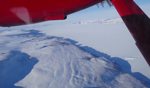
CryoVEX 2014 performed measurements over the Beaufort Sea and Arctic Ocean north of Canada (Ellesmere Island) and Greenland. Airborne surveys and ground‐based snow and ice measurements were performed.
Data - Campaigns (Open)
CryoVEx 2016 Spring
The CryoVEx 2016 campaign was primarily carried out to follow up on a recommendation given within ESA CryoVal Land Ice project (2014-2015), where it was found that the traditional under-flights of the CryoSat-2 satellite were inadequate.
Data - Campaigns (Open)
CryoVEx 2012
In continuation of the CryoVEx campaign in 2011, ESA initiated a second Arctic post-launch campaign in 2012 to further calibrate and validate CryoSat data products.
Data - Campaigns (Open)
CryoVEx 2011
The aims of the CryoSat Validation Experiment (CryoVEx) 2011 was to study the snow and ice characteristics of Arctic sea ice and its snow cover.
Data - Campaigns (Open)
CryoVEx 2010
CryoVEx 2010 was the first CryoSat post-launch campaign to take place. It was set up as a test campaign for the upgraded ASIRAS system.
Data - Campaigns (Open)
CryoVEx 2008
The ESA CryoSat Validation Experiment, CryoVEx 2008 was carried out in April and May 2008.
Data - Campaigns (Open)
CryoVEx 2007
Following the successful 2004, 2005 and 2006 campaigns, the CryoVEx2007 campaign took place in Svalbard from 15 to 25 April 2007.