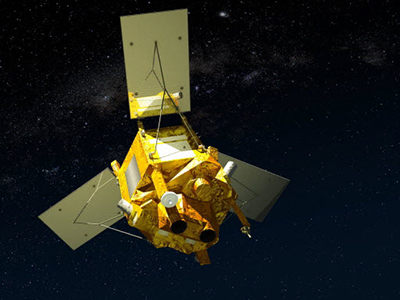
- SPOT 6
- Mission
- SPOT 6 Objectives
SPOT 6 Objectives
Mission Objectives
The SPOT 6 and SPOT 7 satellites address the SPOT 5 market with improved characteristics:
- Same image swath of 60 km to maintain high level of coverage capability
- Better resolution with 1.5 m ortho image products
- Measurement of biomass, vegetated land cover and Leaf Area Index (LAI)
- Addition of a blue band to get native natural colour images
- Ultimate satellite agility, enabling to achieve efficiently both collection of large coverage and collection of individual targets: more than 3 million km2 per day for each satellite.
- Reactive tasking: Advanced programming efficiency with up to six programming plans per day and per satellite uploads possible to obtain cloud-free imagery.
- Daily revisit capability thanks to the phased constellation of SPOT 6 and SPOT 7
SPOT 6 and 7 offer a 1.5 m resolution in natural colour, a daily revisit to any point of the globe and can be programmed for stereo and tri-stereo acquisitions for 3D terrain modelling.