Featured
About PROBA-V

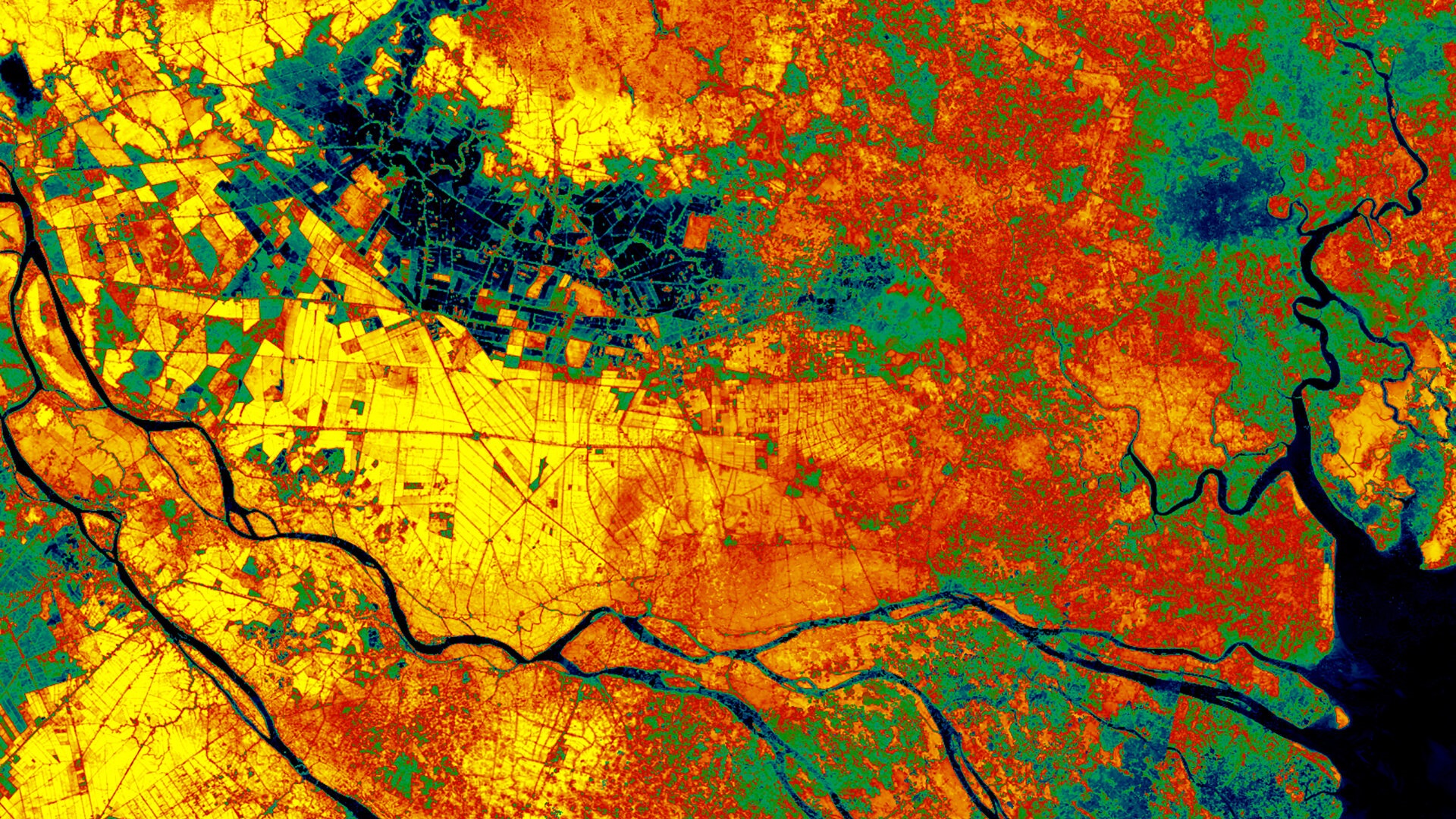
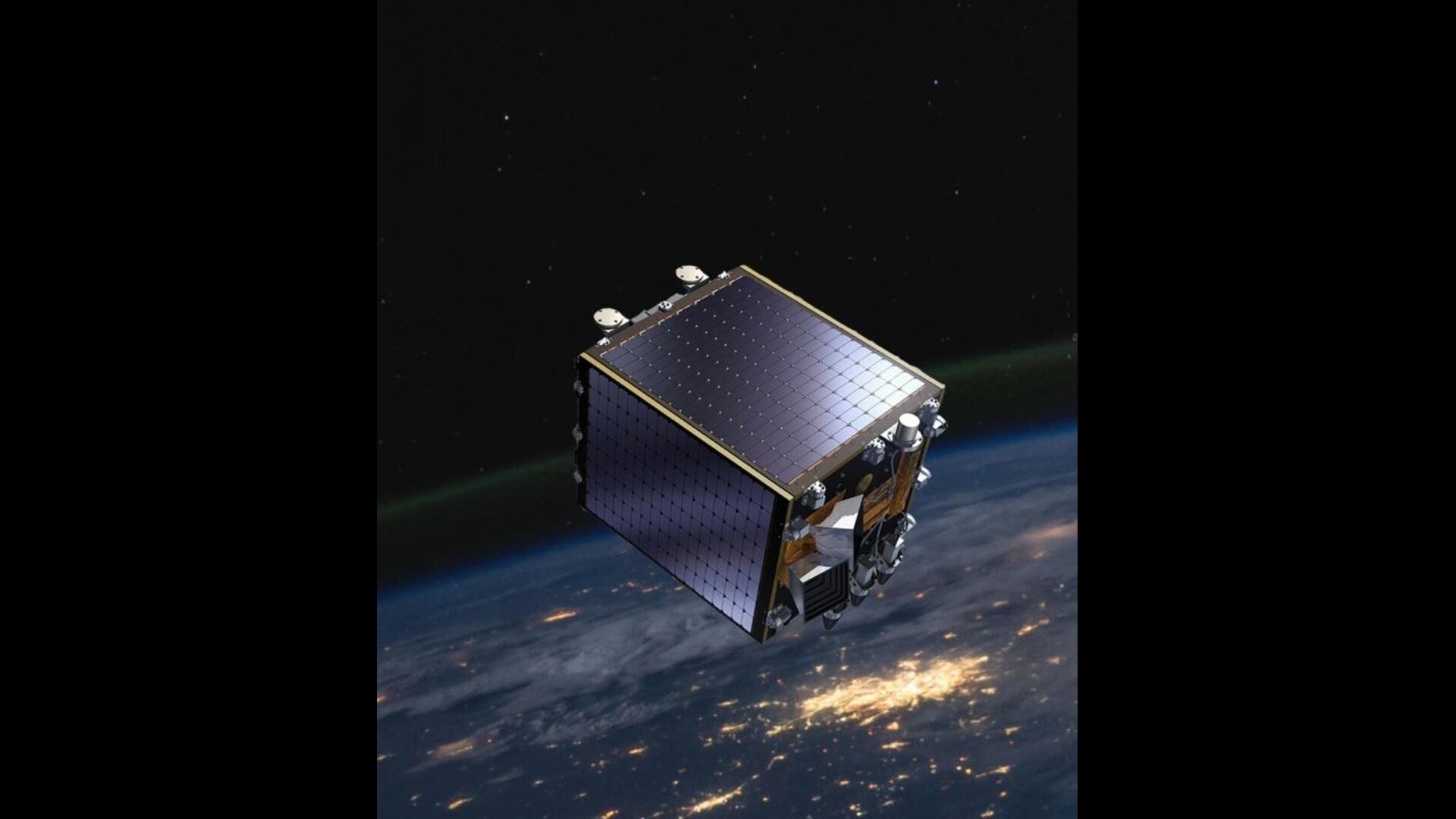
PROBA-V, launched on 7 May 2013, is a miniaturised ESA satellite tasked with a full-scale mission to map land cover and vegetation growth across the entire planet every two days.
It is the latest in ESA's PROBA series of minisatellites, among the smallest satellites launched by the agency - each one less than a cubic metre in volume.
This mission is extending the data set of the long-established Vegetation instrument, flown as a secondary payload aboard France's SPOT 4 and SPOT 5 satellites launched in 1998 and 2002 respectively, and serving as a bridge with Copernicus Sentinel-3.
After more than seven years in space - and despite the satellite still being in excellent condition - ESA's PROBA-V operational mission ended on 30 June 2020, due to suboptimal illumination for the instruments and the availability of Sentinel-3 data. But PROBA-V continued in an experimental phase from 1 July 2020 until 31 October 2021.
| Satellite Features | Information |
|---|---|
| Orbit Type | Polar Earth Sun-synchronous |
| Orbit Period | 101 min |
| Orbit Inclination | 98.73 degrees |
| Repeat cycle | N/A |
| Orbit Altitude | 820 km |
| Equator Crossing Time | Initial LTDN between 10:30 and 11:30 |
PROBA-V Objectives
The objective of the PROBA-V ('V' for Vegetation) mission is to support existing applications such as:
- Land use
- Worldwide vegetation classification
- Crop monitoring, famine prediction
- Food security
- Disaster monitoring and biosphere studies
The PROBA-V imager's continent-spanning 2250 km field of view collects light in the blue, red, near-infrared and mid-infrared wavebands, ideal for monitoring plant and forest growth as well as inland water bodies. The Vegetation instrument can distinguish between different land cover types and plant species, including crops, to reveal their health, as well as detect water bodies and vegetation burn scars.
PROBA-V Instruments
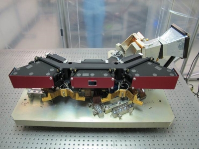
PROBA-V's Vegetation (VGT) instrument provides a continuous daily picture of the state of vegetation across the majority of our planet.
Non-scientific measuring instruments
As an in-orbit demonstrator, the PROBA-V platform also flies five technological payloads:
- A X-Band transmitter based on the new GaN RF amplifier
- An Energetic Particle Telescope (EPT), demonstrating a new type of radiation monitoring sensors and acquisition system
- An Automatic Dependent Surveillance Broadcast (ADS-B) receiver, demonstrating potential air traffic surveillance from LEO satellites
- A SATRAM radiation monitoring system, complementing EPT
- HERMOD (fibre optic connectivity in-situ testing)
