 Asset Publisher

Satellite Planning for Flood in USA, April 2011Envisat satellite planning for floods in the United States of America during April 2011. 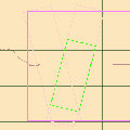
Satellite Planning for Flood in Namibia, March 2011Envisat satellite planning for flooding in Namibia during March 2011. 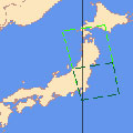
Satellite Planning for Tsunami in Japan, March 2011Envisat satellite planning for the tsunami that hit Japan in March 2011 following a powerful 8.8 magnitude earthquake. 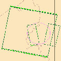
Satellite Planning for Earthquake in China, March 2011Envisat satellite planning for the 5.4 magnitude earthquake that struck China in March 2011. 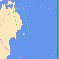
Satellite Planning for Earthquake in Japan, March 2011Envisat satellite planning for the 7.3 magnitude earthquake that struck Japan in March 2011. 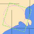
Satellite Planning for Earthquake in New Zealand, February 2011Envisat satellite planning for the 6.3 magnitude earthquake that struck New Zealand in February 2011. 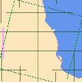
Satellite Planning for Cyclone Yasi (Australia), February 2011Envisat satellite planning for Cyclone Yasi's impact on Australia in February 2011. 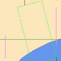
Satellite Planning for Flood in Mozambique, January 2011Envisat satellite planning for flooding in Mozambique during January 2011. 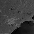
Satellite Planning for Floods in Brazil, January 2011Envisat satellite planning and images for floods in Brazil during January 2011. 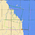
Satellite Planning for Floods in Australia, January 2011Envisat satellite planning for flooding in Australia in January 2011. 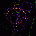
Satellite Planning for Chile Earthquake, January 2011ERS-2 satellite planning for the 7.1 magnitude earthquake that struck Chile in January 2011. 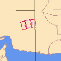
Satellite Planning for Earthquake in Iran, December 2010Envisat satellite planning for the 6.5 magnitude earthquake that struck Iran in December 2010. 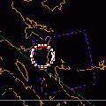
Satellite Planning for Bulusan Volcano (Philippines), November 2010ERS-2 satellite planning for the eruption of Bulusan Volcano in November 2010. 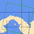
Satellite Planning for Flood in Panama, December 2010Envisat satellite planning for floods in Panama during December 2010. 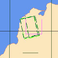
Satellite Planning for Flood and Landslide in Colombia, December 2010Envisat satellite planning for floods and landslides in Colombia, during December 2010. 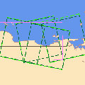
Satellite Planning for Floods and Landslides in Venezuela, December 2010Envisat satellite planning for floods and landslides in Venezuela during December 2010. 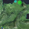
Satellite Planning for Floods and Mudslides in Colombia, November 2010Envisat satellite planning for floods and mudslides in Colombia in November 2010. 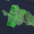
Satellite Planning for Hurricane Tomas, November 2010Envisat and ERS-2 satellite planning for Hurricane Tomas' impact on the Caribbean in November 2010. 
Satellite Planning for Merapi Volcano (Indonesia), October 2010Envisat and ERS-2 satellite planning and images for the eruption of Merapi Volcano in Indonesia in October 2010. 
Satellite Planning for Tsunami/Earthquake in Indonesia, October 2010Envisat and ERS-2 satellite planning for a 7.7 magnitude earthquake and subsequent tsunami that struck Indonesia in October 2010. |
||