Heavy rains which began in January have caused floods and landslides in Ecuador. At least 30 people have been reported killed and almost 5,000 people have been forced to evacuate their homes following the destruction of hundreds of properties. Half of those affected have taken refuge in disaster shelters. An estimated 34,000 hectares of crops have been destroyed and a state of emergency has been declared in the Guayas and Los Ríos province.
|
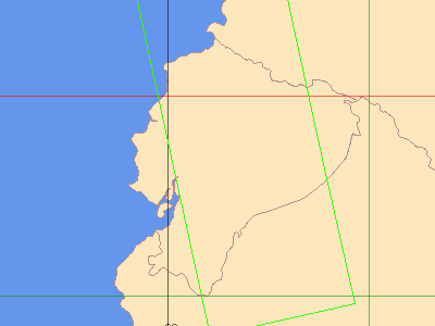
EOLI plot of the Envisat ASAR planning |
|
Ident |
Mission |
Abs. Orbit |
Start Time |
Stop Time |
Instrument Mode |
Acq. Date |
|
1 |
Envisat |
52474 |
03:34:39 |
03:35:39 |
ASA_WS_HH |
12 Mar 2012 |
Back to top
 Satellite Planning for Floods in Ecuador, March 2012