31 Jul 2007 (from AFP) - Wildfires sweeping across Spain's Canary Islands have forced authorities to evacuate around 11,000 people in the biggest fires on the archipelago in a decade.
The fires have covered 24,000 hectares on two of the archipelago's seven islands, Gran Canaria and Tenerife, after being fanned by strong winds.
A state of "maximum alert" has been declared and additional planes are being sent to the archipelago off Africa's western coast to battle the flames.
|
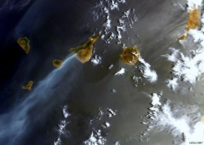
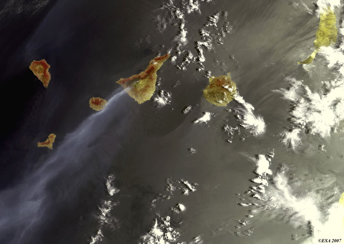
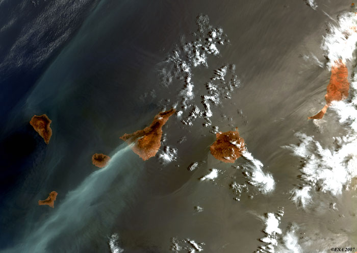
Envisat views of wildfires |
Tenerife: Fires are visible along the south west coast of Tenerife Island. These images (generated with different combinations of layers) also show fire over the mount of Pico de Teide.
Back to top
 Wildfires in Canary Islands (Spain) - August 2007