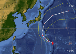
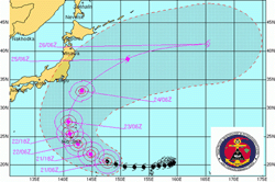
Tokyo, Sept, 21, 2006 (From Bloomberg) - Typhoon Yagi, heading west across the Pacific Ocean on a path toward Tokyo, continued to increase in strength and U.S. Navy forecasters expect it to turn into a Supertyphoon by tomorrow. Typhoon Yagi, a Category 4 storm with maximum sustained winds of 221 kilometers an hour, was located 959 kilometers east-southeast of Iwo Jima at 9 a.m. Japan time today, according to the latest advisory on the U.S. Navy Joint Typhoon Warning Center's Web site. Yagi, the 16th-named storm of the Pacific cyclone season, is heading west at 29 kilometers an hour and is forecast to become a Supertyphoon, or Category 5 storm, by tomorrow morning, the center said. The storm's winds are gusting to as high as 267 kilometers per hour and typhoon strength winds extend out as far as 74 kilometers to the north east of the storm's eye. Waves are as high as 11.9 meters in the vicinity of Yagi's eye, which is now clearly defined on the satellite photo on the Typhoon Center's Web site. Yagi, which is Japanese for goat, is forecast to track west before turning north. It's forecast to be closest to Tokyo during the morning of Sept. 24. Typhoons and tropical storms regularly buffet Japan and nine people were killed this week when Typhoon Shanshan smashed into the southwestern island of Kyushu. Shanshan was the fourth tropical storm to hit Japan this year. Tropical Storm Wukong reached land on Aug. 18 this year near Miyazaki city on Kyushu, bringing heavy rains and thunderstorms and causing flight cancellations and a halt to oil shipments. Tropical Storm Maria skirted Tokyo in early August and Typhoon Saomai blew across Okinawa on the way to China a couple of days later. At least 20 people died in September last year when Typhoon Nabi hit southwestern Japan. A record 10 typhoons and tropical storms hit Japan in 2004, killing more than 60 people and causing billions of dollars of damage.
|
Envisat views of Typhoon Yagi |
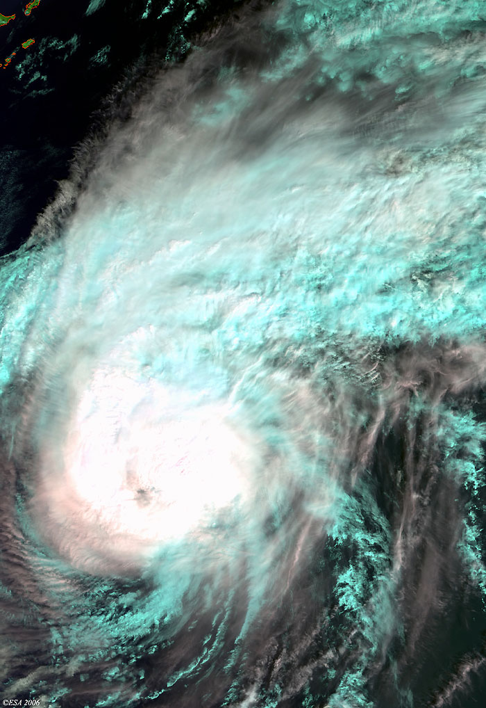
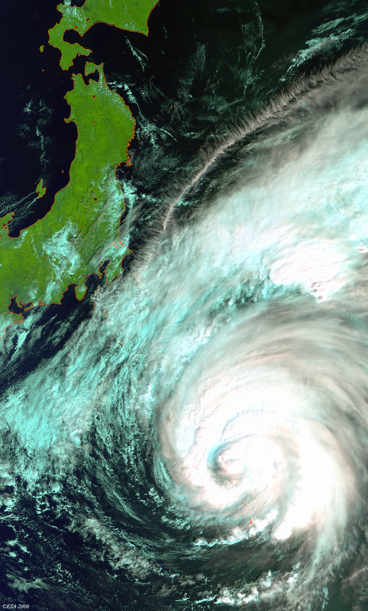
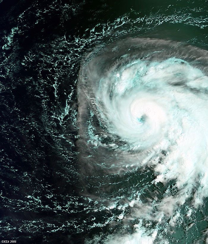
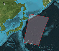
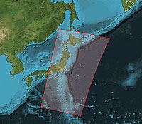
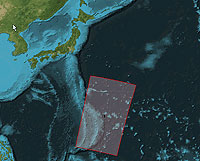
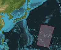
These three Medium Resolution Imaging Spectrometer (MERIS) images were acquired over the Pacific Ocean, where the "super-typhoon" is visible to the southwest of Tokyo. The coastlines have been highlighted in red to define their location.
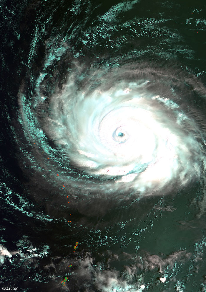
This Medium Resolution Imaging Spectrometer (MERIS) image was acquired on 18 September 2006 over the Pacific Ocean, where the "super-typhoon" Yagi is visible near the tiny Hahajima and Chichijima islands 1,000 kilometres southwest of Tokyo.
Back to top
 Typhoon Yagi (Pacific Ocean) - September 2006