 Typhoon in the Indian Ocean - February 2006
This Medium Resolution Imaging Spectrometer (MERIS) image was acquired on 28 February 2006 over the Indian Ocean and shows an unnamed storm. The map shows the latest JTWC forecast positions for the current Tropical Storm/Typhoon in the West Pacific. 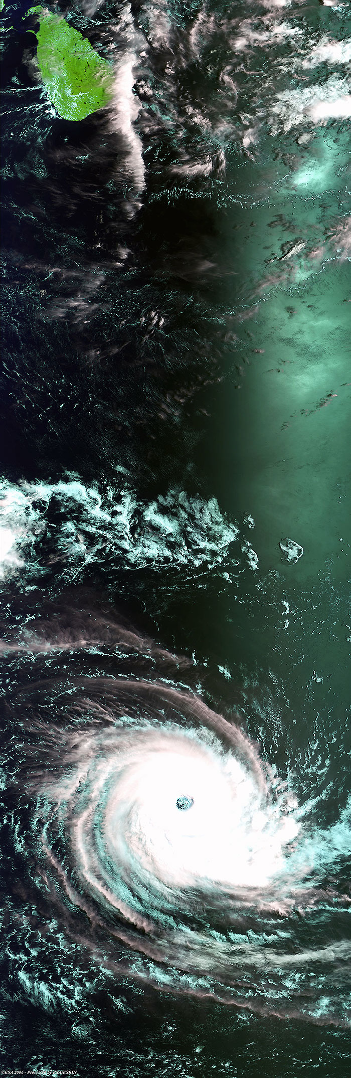
|
Related Links
|
||||||||||||||||||||