TAIPEI, July 18 (From AFP) - Typhoon Haitang pounded Taiwan with heavy winds and rain on Monday, forcing the evacuation of hundreds of people and the closure of airports, schools, government offices and financial markets. With winds gusting up to 227 kilometers (136 miles) per hour, Haitang uprooted trees as the government warned of possible landslides and flash floods around the island. Anxious residents in Taipei piled sandbags around their houses as they prepared for one of the most powerful storms to hit Taiwan in five years, while thousands of fishing vessels sought shelter in harbours. The Central Weather Bureau said the storm had swerved south before regianing power and heading west toward the island. It said Haitang's centre was 70 kilometres south of the eastern coast city of Hualien at 10:00 am. Hundreds of people were evacuated from several remote villages where people have been buried alive by landslides in the past, the National Fire Agency said. The weather bureau raised its rainfall forecast from 900 to 1,300 millimeters for some areas.
|
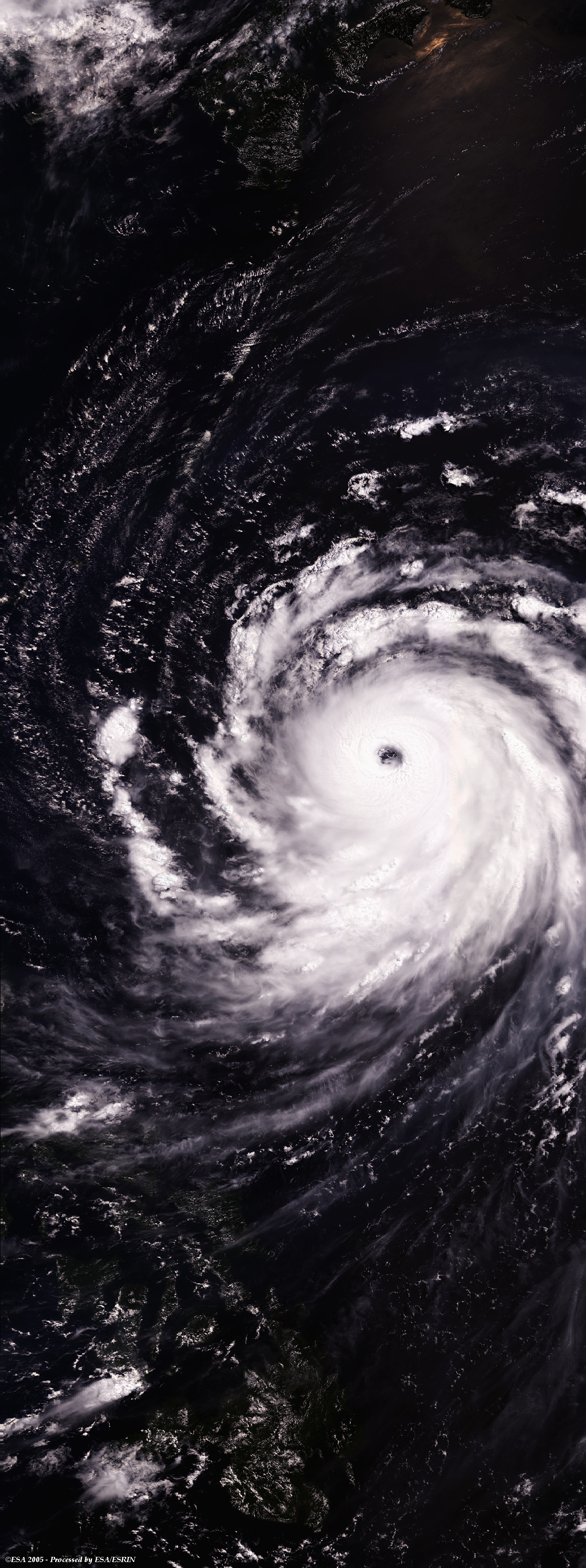
Envisat view of Typhoon Haitang |
This Medium Resolution Imaging Spectrometer (MERIS) Level 1 image shows Typhoon Haitang (centre image), that hit the island of Taiwan with rain and wind at speeds of 227 kilometres per hour. Haitang is the first powerful typhoon that hit the islands in the Pacific Ocean this season.
|
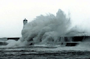
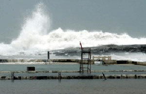
Photographs from Republica newspaper |
 Typhoon Haitang (Taiwan) - July 2005