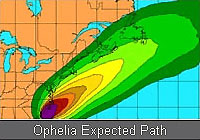
Hurricane Ophelia, 2005 Sept 14 - Hurricane Ophelia is moving towards North Carolina with 85 MPH sustained winds. A hurricane warning is in effect from the Little River Inlet northward to the North Carolina / Virginia Border, including the Pamlico and Albemarle Sounds. A warning means the hurricane is expected to hit within 24 hours. A hurricane watch and tropical storm warning remain in effect north of the North Carolina / Virginia border to Cape Charles Light Virginia, including the Chesapeake Bay south of New Point Comfort. A topical storm warning means a tropical storm is expected within 36 hours. As of 9PM Eastern Time the National Weather Service reports that the center of the storm is located about 35 miles south-southwest of Cape Lookout North Carolina. Ophelia is moving is moving erratically east-northeast at 7 MPH. This motion is expected to continue for the next 24 hours. The center of Ophelia is expected to cross over or very near Cape Lookout within the next several hours. The northern eyewall will continue to pass over the North Carolina coast for much of tonight and most of tomorrow. Ophelia is a category one hurricane on the Saffir-Simpson scale with some gusts reaching up to 92 MPH. Winds are expected to increase over the night. The hurricane force winds extend outward 50 miles from the center and tropical storm winds extend out 140 miles from the center. The storm surge is 5 to 7 feet above normal, and may reach 9 to 11 feet above normal. Ophelia is expected to produce 4 to 8 inches of rain in portions of eastern North Carolina during the next 24 hours with 15 inches possible with possible isolated tornadoes. North Carolina Governor Mike Easley and Virginia Governor Mark Warner have declared a state of emergency. This will free up resources before the storm hits. Schools were closed in 22 North Carolina counties. The National Guard has been called up for storm response.
|
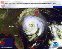
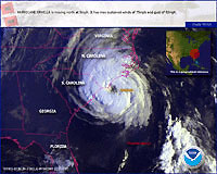
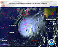
NOAA analyses of Hurricane Ophelia |
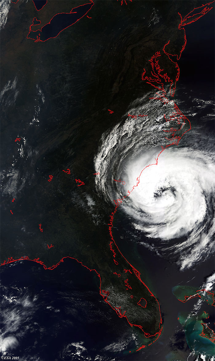
Acquisition date: 13 September 2005
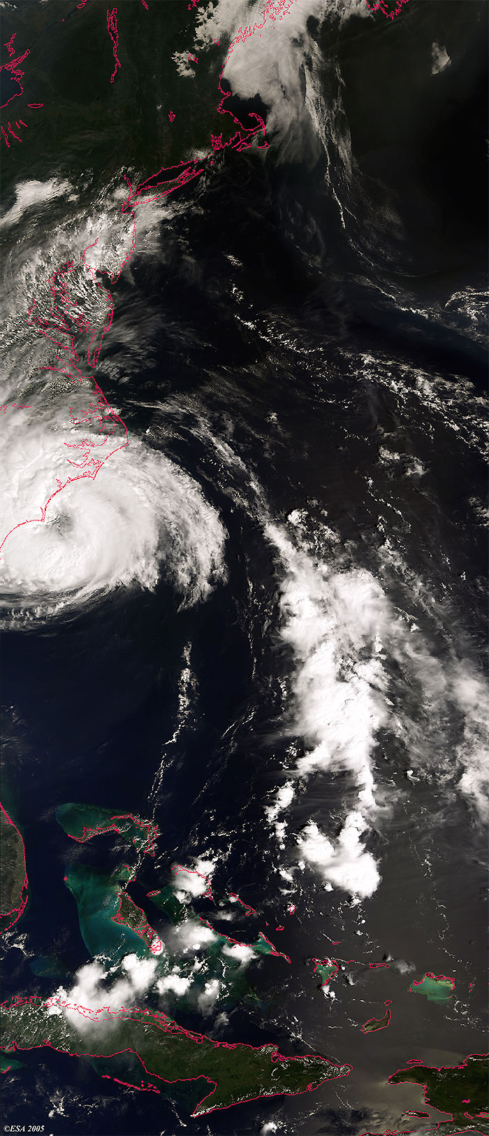
Acquisition date: 14 September 2005
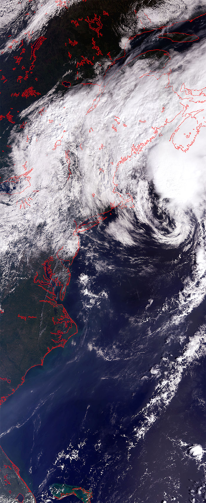
Acquisition date: 15 September 2005
Acquisition date: 16 September 2005
|
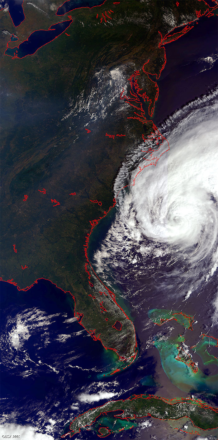
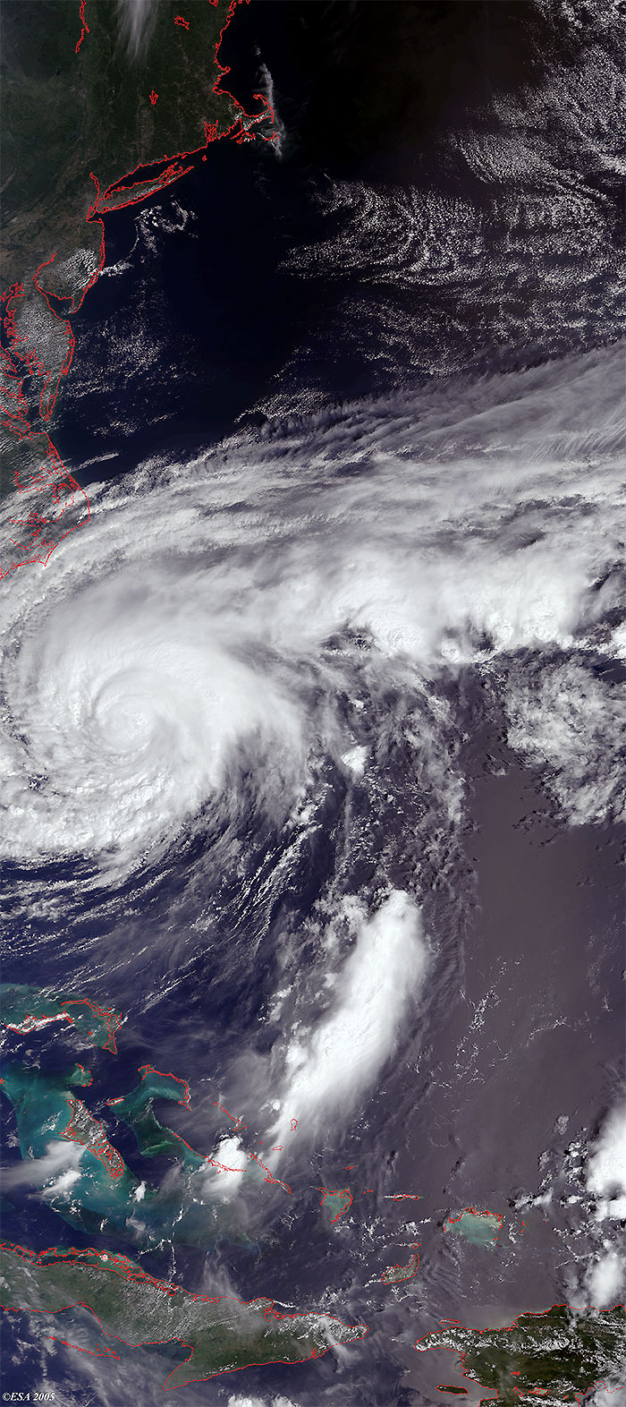
Envisat views of Hurricane Ophelia |
These Medium Resolution Imaging Spectrometer (MERIS) Level 1 images were acquired over the coast of North Carolina, and show Hurricane Ophelia during its evolution. The coasts have been highlighted in red to define their locations.
 Hurricane Ophelia (North Carolina) - September 2005