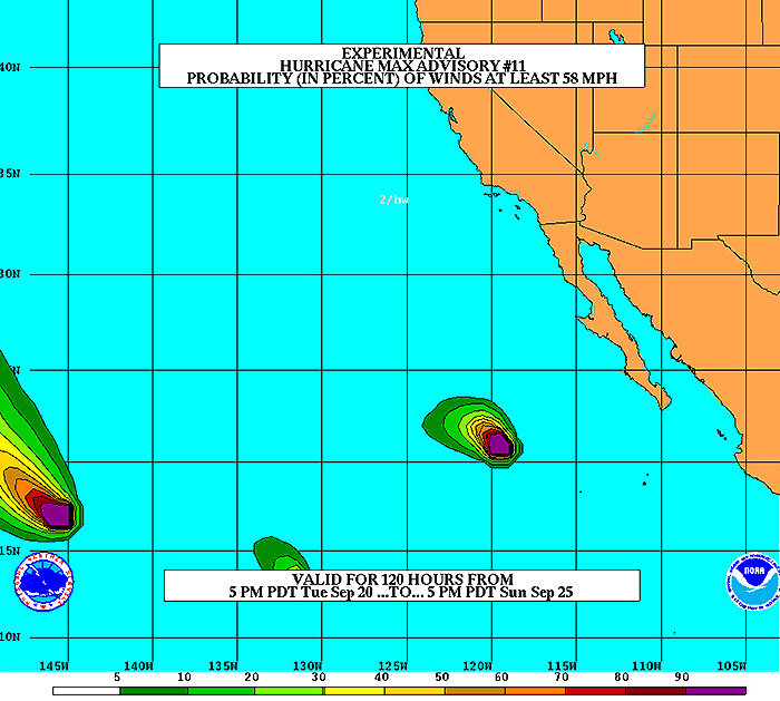
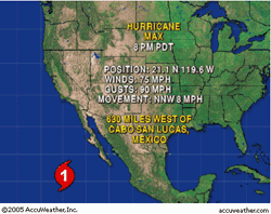
California, Sept 20 (From AFP) - Hurricane Max, with sustained winds of 80 mph, is located about 1,000 miles to the south of Los Angeles, California. The hurricane might further strengthen during the next 24 hours; then, it will weaken rapidly as it moves over much cooler water. Although Max is heading northwestward at 11 mph, it is expected to more westerly away from land.
|
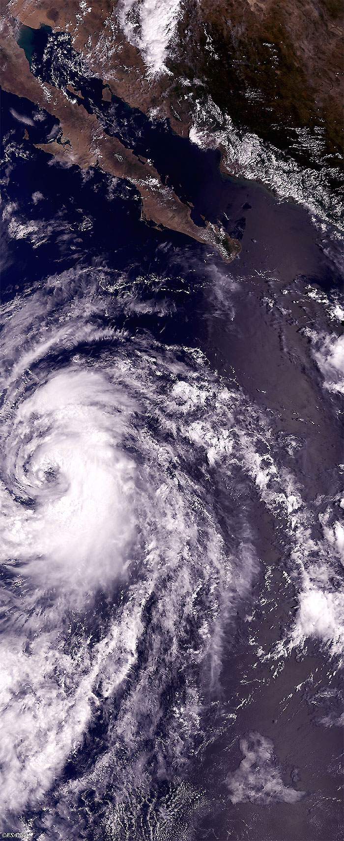
Envisat view of Hurricane Max |
This Medium Resolution Imaging Spectrometer (MERIS) Level 1 image was acquired over the coasts of California, and shows the first image of Hurricane Max.
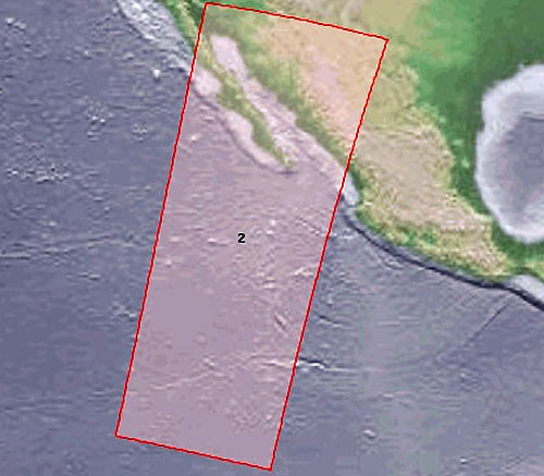
 Hurricane Max (California) - September 2005