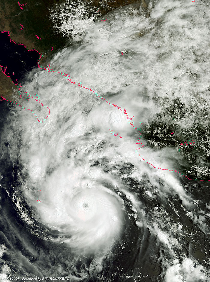
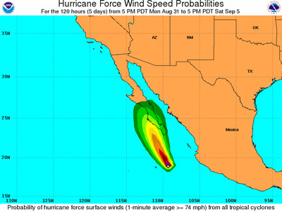
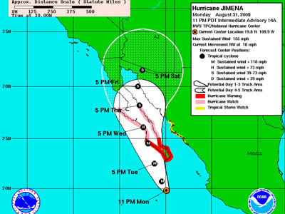
1 September 2009 (from AFP) - Hurricane Jimena roared toward Baja California on Tuesday as an extremely dangerous Category Five storm, Mexican officials said as they planned emergency evacuations for 20,000 families. Jimena was packing winds of up to 250 kilometres per hour but was expected to weaken to a Category Four hurricane before making landfall in Baja California late Tuesday or on Wednesday, the National Weather Service said. The centre of the hurricane was 345 km south of Cabo San Lucas as of 0600 GMT Tuesday, according to the Miami-based National Hurricane Centre (NHC), a US government agency that tracks and predicts storms. US forecasters put Jimena at a Category Four on the one-to-five Saffir-Simpson scale, but noted that the storm was "very near the threshold of Category Five status." A hurricane warning remained in effect for the southern portion the Baja California peninsula, from Bahia Magdalena southward on the west coast, and from San Evaristo southward on the east coast, including popular tourist spot Cabo San Lucas.
|
Event Timeline |
|
31 August 2009 |
|
Hurricane Jimena approaching Baja California as a Category Five storm. |
Back to top
 Hurricane Jimena (Mexico) - August 2009