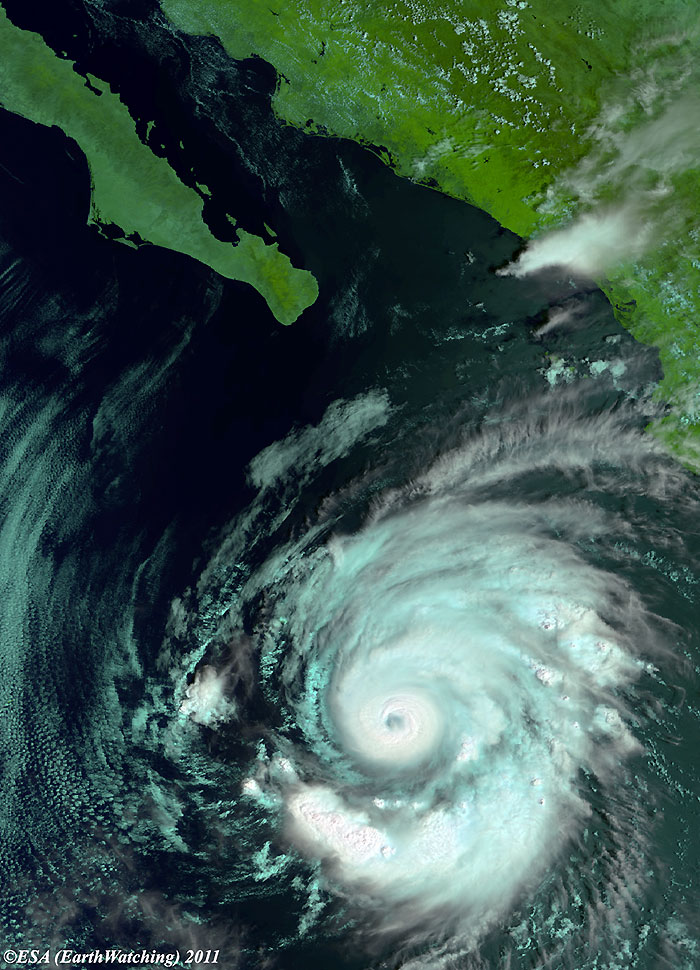
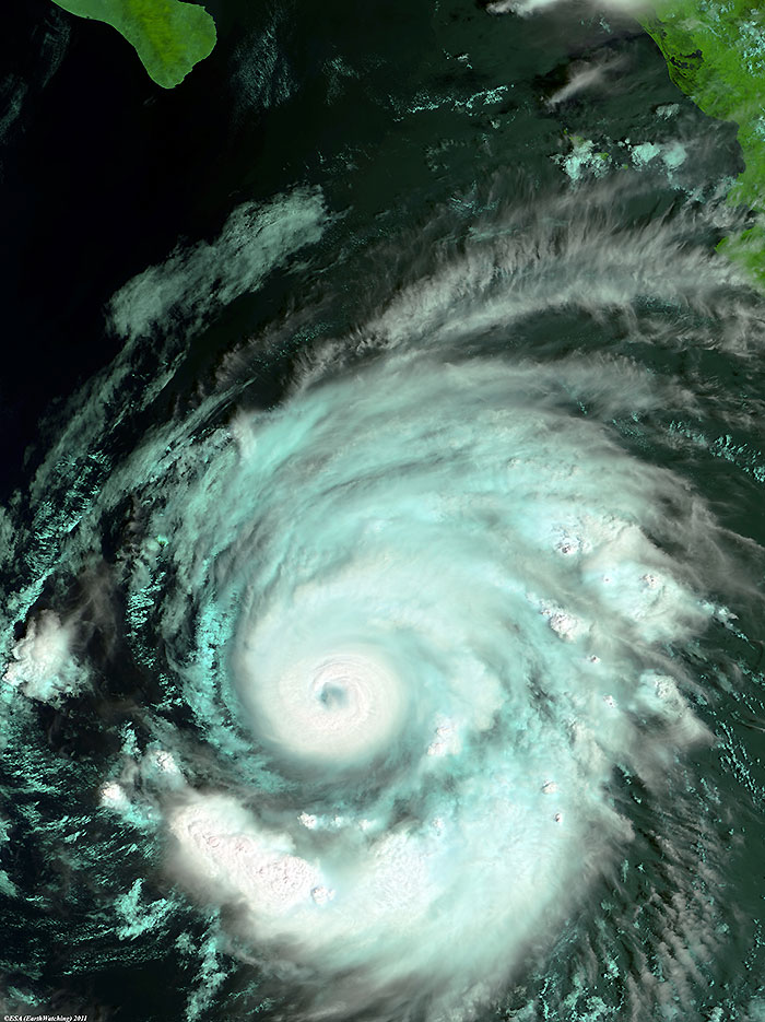
MIAMI, Sept 24, 2011 (From AFP) - Hurricane Hilary spun into the open Pacific Ocean on Saturday and continued its march away from the Mexican coastline, the US-based National Hurricane Center said. Packing winds of 140 miles (220 kilometers) per hour, Hilary was a Category Four storm on the five-level Saffir-Simpson scale. At 1500 GMT Hilary was centered 210 miles (335 kilometers) south-east of Manzanillo, Mexico, and moving towards the west at a speed of 12 miles per hour. Hilary is expected to turn towards northwest and lose speed, but it is also "expected to remain a major hurricane during the next to days," the NHC warned.Large swells generated by Hilary "are likely causing life-threatening surf and rip current conditions" are affecting parts of the Mexican coast, it said. Despite its wind speed, Hilary remains a small storm: hurricane-force winds extend outward just 30 miles (50 kilometers) from the center, and tropical storm force winds extend outward up to 85 miles.
|
Envisat views of Hurricane Hilary |
|
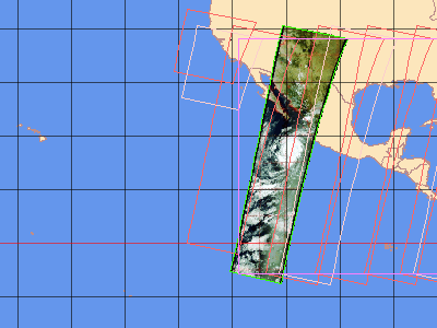
EOLI map for the MERIS images |
Back to top
 Hurricane Hilary - September 2011