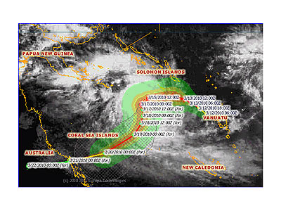
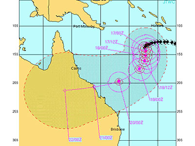
15 March 2010 (from AFP) - A strong cyclone weakened slightly as it passed the southern islands of the Solomon Islands Monday, raising hopes damage would not be as bad as feared, officials said. Cyclone Ului had intensified into a devastating category five storm on Sunday but weakened slightly Monday morning into a category four, the Solomon Islands Meteorological Service said. The cyclone still packed winds gusting up to 270 kilometres an hour near its centre, which lay 170 kilometres southwest of Rennell Island, in the south of the South Pacific nation. But the cyclone was moving westwards into open sea and Rennell and nearby Bellona island was experiencing winds of up to 63 knots, the meteorological service said. Solomon Islands Disaster Management Office director, Loti Yates, said he had not received any reports of major damage in the southern islands. "They're experiencing really strong winds but it seems that at the provincial headquarters, the impact is not as bad as they had initially thought," Yates told Radio New Zealand. He added there was expected to be some flooding in coastal areas.
|
Event Timeline |
|
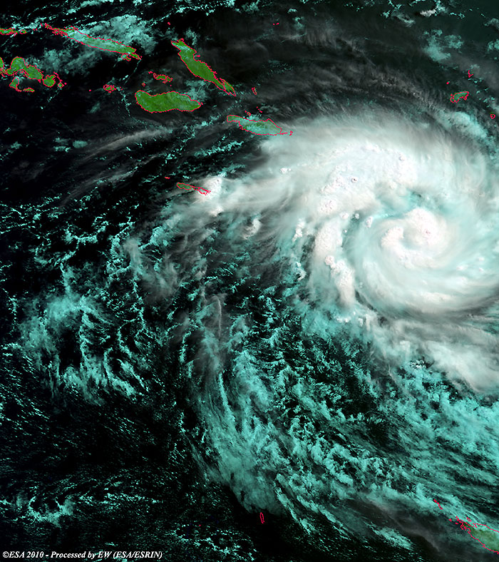
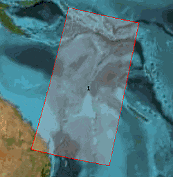
12 March 2010 |
|
Cyclone Ului over the Pacific Ocean. |
|
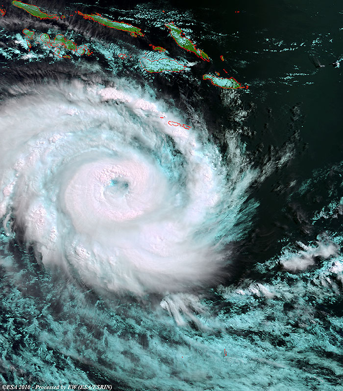
15 March 2010 |
|
Cyclone Ului approaching the Solomon Islands. |
Back to top
 Cyclone Ului (Solomon Islands) - March 2010