INNISFAIL, Australia, March 21, 2006 (From AFP) - Australia deployed troops in its devastated northeast Tuesday after a powerful cyclone flattened hundreds of homes and vast croplands, causing hundreds of millions of dollars in damage. More than a hundred soldiers backed by helicopters and huge Hercules C-130 transport aircraft, medical teams and field kitchens rolled into the worst-hit town of Innisfail.
BRISBANE, AUSTRALIA, March 20, 2006 (From AFP) - A super cyclone smashed into tropical northeastern Australia Monday, with winds of up to 290 kilometers an hour (180 mph) ripping up trees and toppling power lines. Tropical Cyclone Larry was upgraded to the top category five shortly before it hit land near Innisfail in the far north of Queensland state, the Queensland weather bureau said. It is the strongest cyclone to strike Australia in more than 30 years and was seen as potentially more dangerous than Cyclone Tracy, which devastated the northern city of Darwin in 1974. "This cyclone is a category five now and compared to Tracy, which was also a category five the heart of Tracy was 47 kilometers, this is 100 kilometers and the front itself is 300 to 400," Queensland Premier Peter Beattie said. Beattie declared a state of emergency ahead of the storm's landfall late Sunday, opening the way for mandatory evacuations in several coastal areas, where tidal surges of up to two meters were expected. Hundreds of people evacuated coastal towns in the area and major airlines cancelled all flights into Cairns and Townsville, the two biggest cities in the region.
|
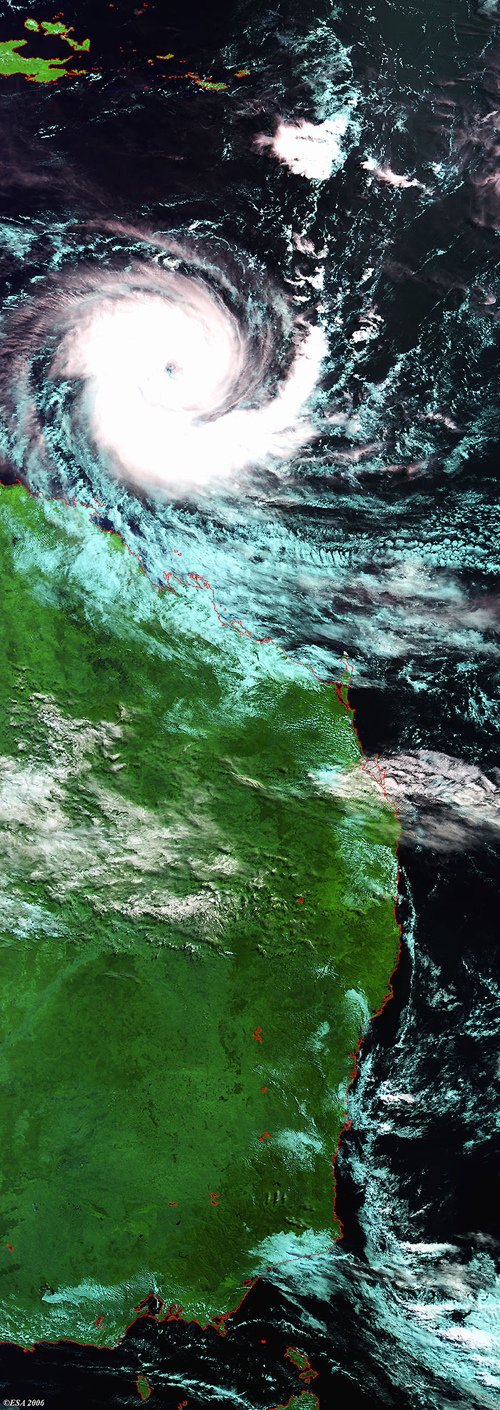
Envisat view of Cyclone Larry |
This Medium Resolution Imaging Spectrometer (MERIS) Level 1 image shows Cyclone Larry along the north east coasts of Queensland. The coastlines have been highlighted in red to define their locations.
Back to top
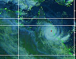
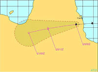
 Cyclone Larry (Queensland, Australia) - March 2006